
Severidad de Quema y Recuperación de Incendios
Severidad de quema entre fechas pareadas, con carbón, ceniza, suelo y cobertura verde separados por debajo, más la recuperación en fechas posteriores.
Severidad de quema entre fechas pareadas, con carbón y ceniza desmezclados para que un píxel parcialmente quemado se lea como parcialmente quemado.
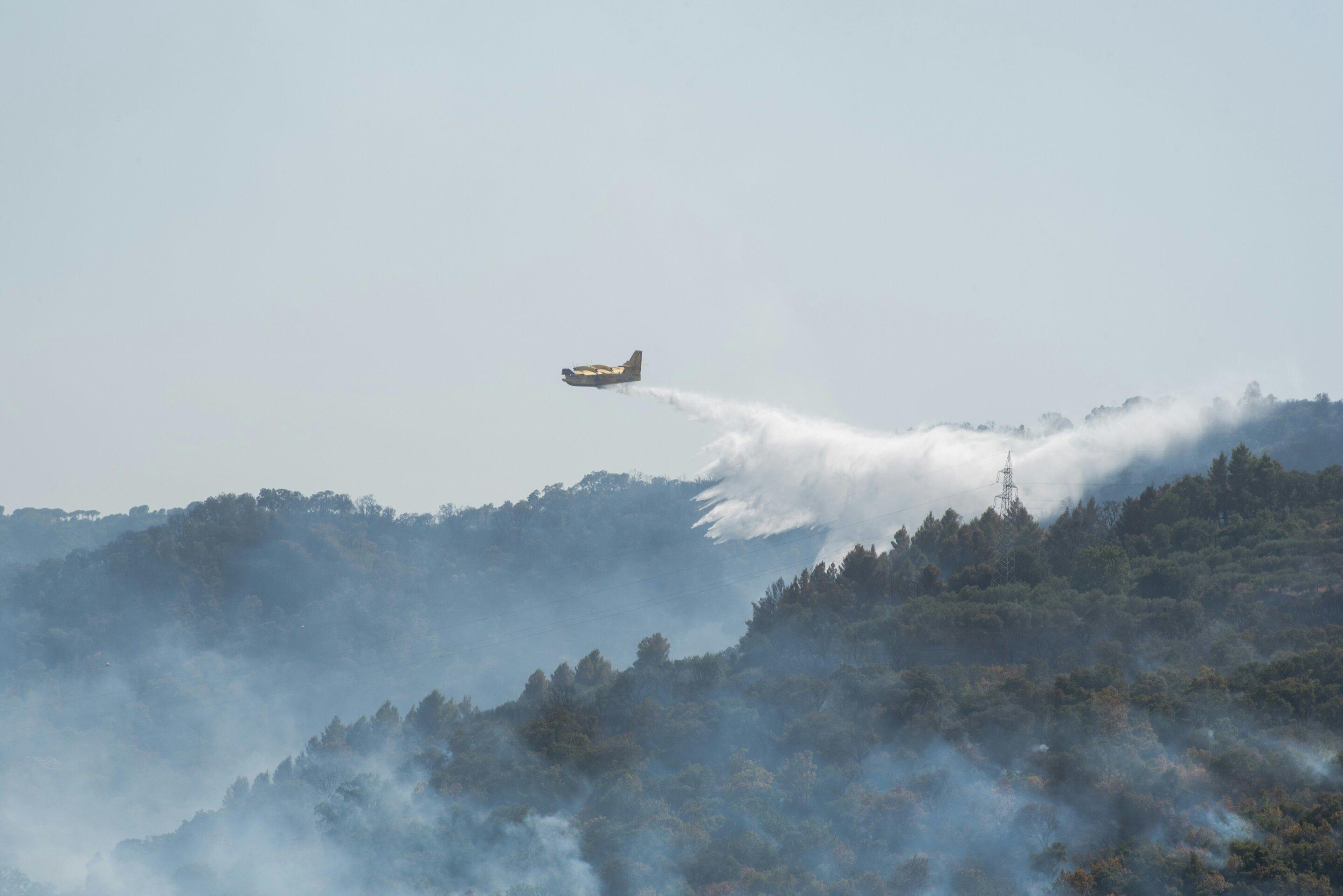
Differenced normalised burn ratio between a pre-fire and a post-fire scene, with the recovery series alongside.
QUÉ ENCUENTRA
Qué detecta.
| Material | Entorno típico | Qué puede confundirlo |
|---|---|---|
| Wildfire Burn Severity | Post-fire forest landscapes, chaparral, and savannahs | Pre-existing drought stress and agricultural harvesting |
MÉTODO
Cómo funciona.
Entra reflectancia calibrada, y cada píxel se ajusta contra una biblioteca pública de referencia.
Pairing the two dates
The pre-fire and post-fire scenes are placed on a common grid. Pairing across different sensors is refused, and so is pairing results that came from different engines, because the difference would be measuring the method rather than the ground.
Burn ratio, absolute and relative
Computes the standard differenced burn ratio and the relativised version, which matters where pre-fire cover was already sparse.
Char, ash, soil and green fractions
Burned pixels are decomposed into fractions rather than assigned a single label, so a partially burned pixel reads as partially burned.
Severity classes
The landscape is binned into unburned, low, moderate and high severity using published thresholds. A difference that comes out entirely empty raises an error instead of reporting that nothing changed.
ESPECIFICACIONES
Qué obtiene, y sobre qué corre.
Condiciones que necesita
Method and checks are documented in Axine Applied Spectroscopy Paper #4 · Section 5.3.
Alcance
Timing decides the answer, so the interval between the fire and the scene is reported with the layer.
EJECÚTELO SOBRE SU TERRENO
Ejecute esta capa sobre su propia área.
Ordene procesamiento sobre su área de interés, o una captura programada donde el archivo no tenga nada utilizable. El acceso a las imágenes nunca se cobra: un plan compra los modelos.
ANALÍTICA COMPLEMENTARIA
Capas relacionadas.
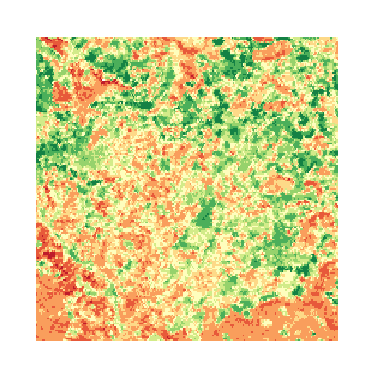
Cribado de Estrés del Dosel
Contenido de agua foliar, medido contra una línea base de materia seca y comparado entre adquisiciones.
Clorofila del Dosel y Borde Rojo
Posición del borde rojo, que sigue el pigmento del dosel. Se rechaza en sensores que no pueden resolverla.
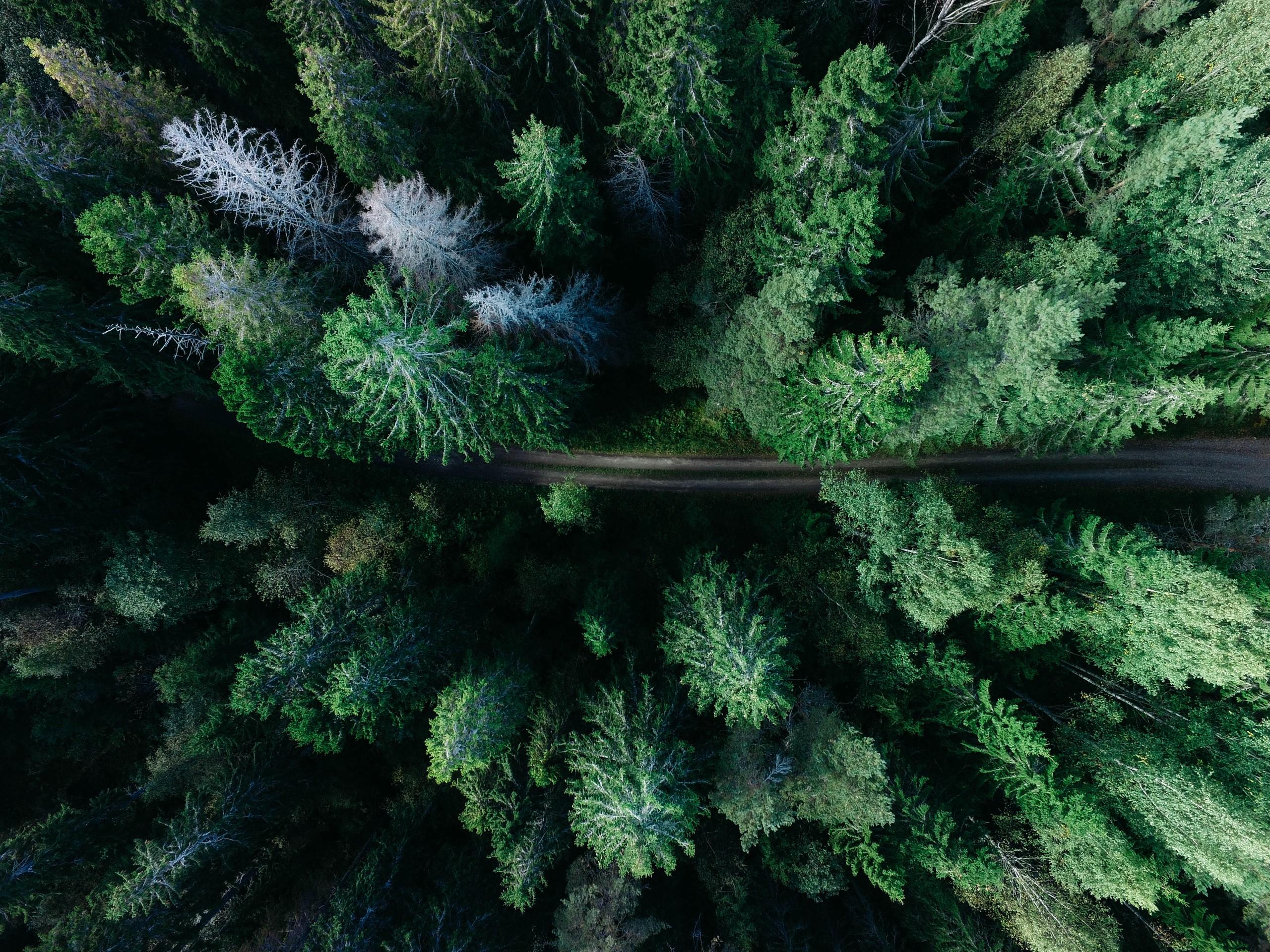
Auditoría de Tala Selectiva
Desmezcla subpíxel para pistas de arrastre, perturbación de claros del dosel y cumplimiento de cosecha sobre una concesión.