
Map Alteration and Track Operating Sites
Classify alteration across a licence area, score the districts within it, and vector toward the centre of the system before an airborne survey is commissioned. Each pixel is fitted against a public laboratory spectral library, with fit quality reported alongside the class. Once a site is operating, the same pipeline maps pits, dumps and tailings boundaries between any two dates and screens the drainage and methane around them. Every output carries a provenance record naming each scene used.
Use Cases
Exploration Geologists
Establish the alteration zoning across a licence or a belt before the field season is planned.
Mine Operators
Maintain a dated record of the pit, the waste rock dumps and the tailings facility between any two dates.
ESG and Closure Teams
Report disturbed ground, drainage and methane with every figure traced to its source scene.
Investors and Lenders
Verify what a project holds at surface and what an operating site has done, independent of company disclosures.
Before the Field Season
An airborne hyperspectral survey must be commissioned, permitted and flown. Orbital mapping runs on archive scenes that already exist, so the district ranking is in hand before crews are booked.
Public Hyperspectral Archives
Spaceborne imaging spectrometers now place hyperspectral scenes of the world’s arid belts in public archives. Exposed alteration in these belts provides the strongest mapping baseline.
Between Inspections
Tailings facilities are monitored with piezometers and ground inspections. A dated record of the exposed faces and the channels below directs the next visit to the ground that changed.
Available Products
Each product runs over your own plots, fields, stands or assets and is delivered as a document with its map layers.
Alteration Mineral Mapping
Classify advanced argillic, argillic, phyllic, propylitic, and carbonate alteration across your licence area.
Exploration Target Ranking
Rank district ground by how closely its surface alteration matches known mineral systems, with a vector to the centre.
Gossan and Iron Oxide Mapping
Separate hematite from goethite across your ground and map ferric hydroxyl coatings as a distinct class.
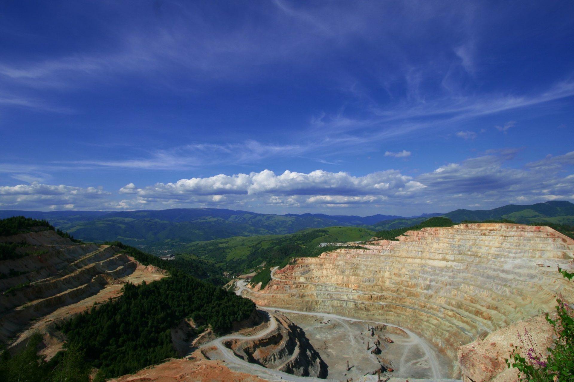
Mine Footprint and Disturbance
Map and quantify ground disturbance across open pits, waste rock dumps and tailings boundaries between any two dates.
Tailings and Acid Drainage Screening
Map moisture and sulfate shifts on embankments and track iron precipitate in downstream channels.
Methane Screening Near Operations
Outline point-source methane plumes over designated facilities using hyperspectral archives.
Deliverables
A document ready to forward, and the map layers behind it for your GIS.
- A classified alteration map for every pixel of exposed ground, with a fit quality layer and a mask of vegetation, cloud and low signal.
- District scores and a white mica vector toward the system centre, with the validation scheme stated on each layer.
- Separate hematite and goethite maps, delivered with a combined ferric class.
- Disturbance maps for any two dates, differenced on a common grid with the registration offset documented.
- Screening layers for tailings embankments, downstream discharge channels and methane plumes.
- Cloud-Optimized GeoTIFF, GeoJSON and Parquet outputs, each with a provenance record naming every scene.
Submit a Licence Area
Provide the boundary of one licence or one belt. Our team runs the alteration map and the district score over it and reviews the results with your geologists.