
Proxy de Carbono Orgánico del Suelo
Un índice relativo de materia orgánica sobre compuestos de suelo desnudo, construido para decirle dónde muestrear.
Cada píxel se compone al momento en que estuvo más expuesto y luego se clasifica por materia orgánica. No se reporta contenido de carbono.
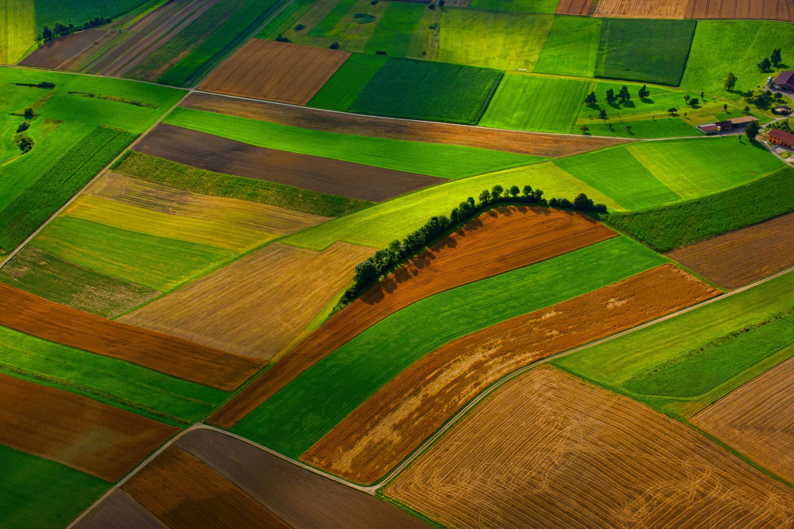
Cropland at scale. The proxy tracks the darkening that follows organic matter.
QUÉ ENCUENTRA
Qué detecta.
| Material | Entorno típico | Qué puede confundirlo |
|---|---|---|
| Topsoil organic matter, relative index | Cropland, grassland and rangeland topsoil, the top few centimetres only | Surface moisture darkens soil the same way organic matter does; roughness and shadow do too |
MÉTODO
Cómo funciona.
Entra reflectancia calibrada, y cada píxel se ajusta contra una biblioteca pública de referencia.
Bare-soil compositing
A multi-year series is filtered down to the moments when each pixel was most exposed, and those moments are composited. Cloud-free compositing over a date range is a shipping capability.
Moisture and roughness caution
Wet soil is darker than dry soil of the same composition, and rough soil is darker than smooth. Both effects sit on top of the one being measured, and neither is fully removed by the soil line correction applied here.
Regression onto laboratory libraries (not built)
Turning reflectance into a carbon figure means fitting against a laboratory soil library and validating that fit region by region. That work is on the roadmap, and until it lands the output stays a relative index.
Relative index output
What ships is a ranking within a field or a run of fields on the same composite, useful for deciding where to sample.
ESPECIFICACIONES
Qué obtiene, y sobre qué corre.
Condiciones que necesita
Method and checks are documented in Axine Applied Spectroscopy Paper #5 · Section 4.2.
Alcance
A relative ranking that tells you where to sample. No carbon content is reported.
EJECÚTELO SOBRE SU TERRENO
Ejecute esta capa sobre su propia área.
Ordene procesamiento sobre su área de interés, o una captura programada donde el archivo no tenga nada utilizable. El acceso a las imágenes nunca se cobra: un plan compra los modelos.
ANALÍTICA COMPLEMENTARIA
Capas relacionadas.
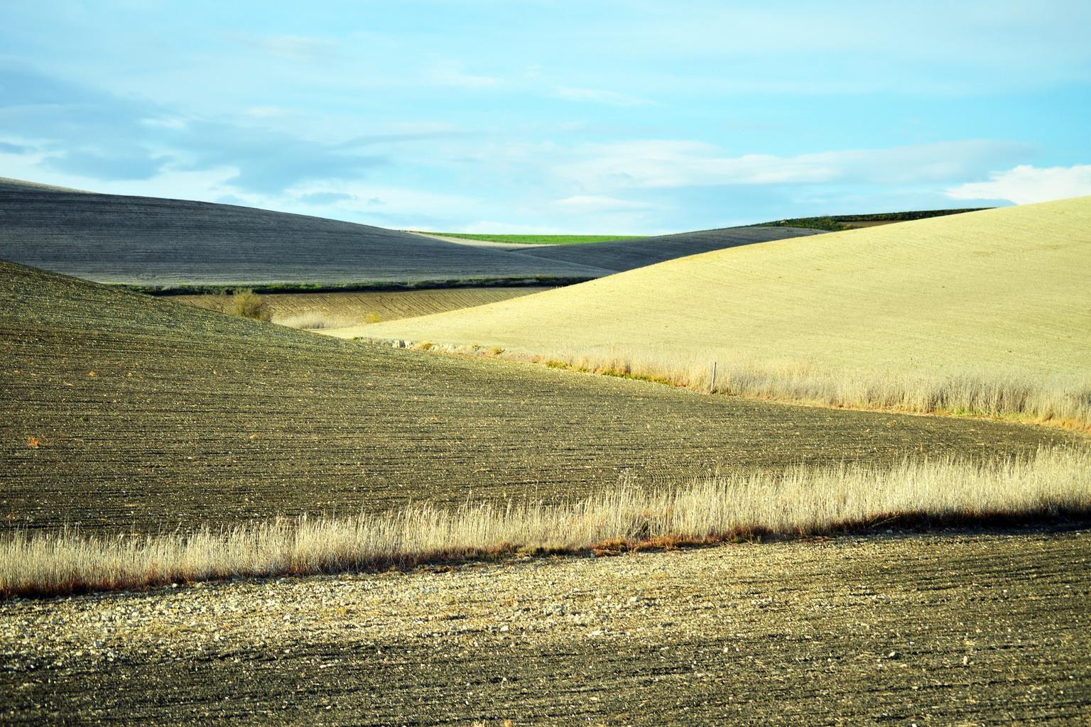
Exposición del Suelo y Residuos de Cultivo
Cobertura de residuos de cultivo y arcilla superficial, para clases de residuos y labranza.
Índice de Arcilla y Salinidad del Suelo Superficial
Lecturas de yeso y arcilla sobre suelo desnudo. La sal misma es invisible para el sensor, así que la salinidad solo se infiere de lo que la acompaña.
Clorofila del Dosel y Borde Rojo
Posición del borde rojo, que sigue el pigmento del dosel. Se rechaza en sensores que no pueden resolverla.