
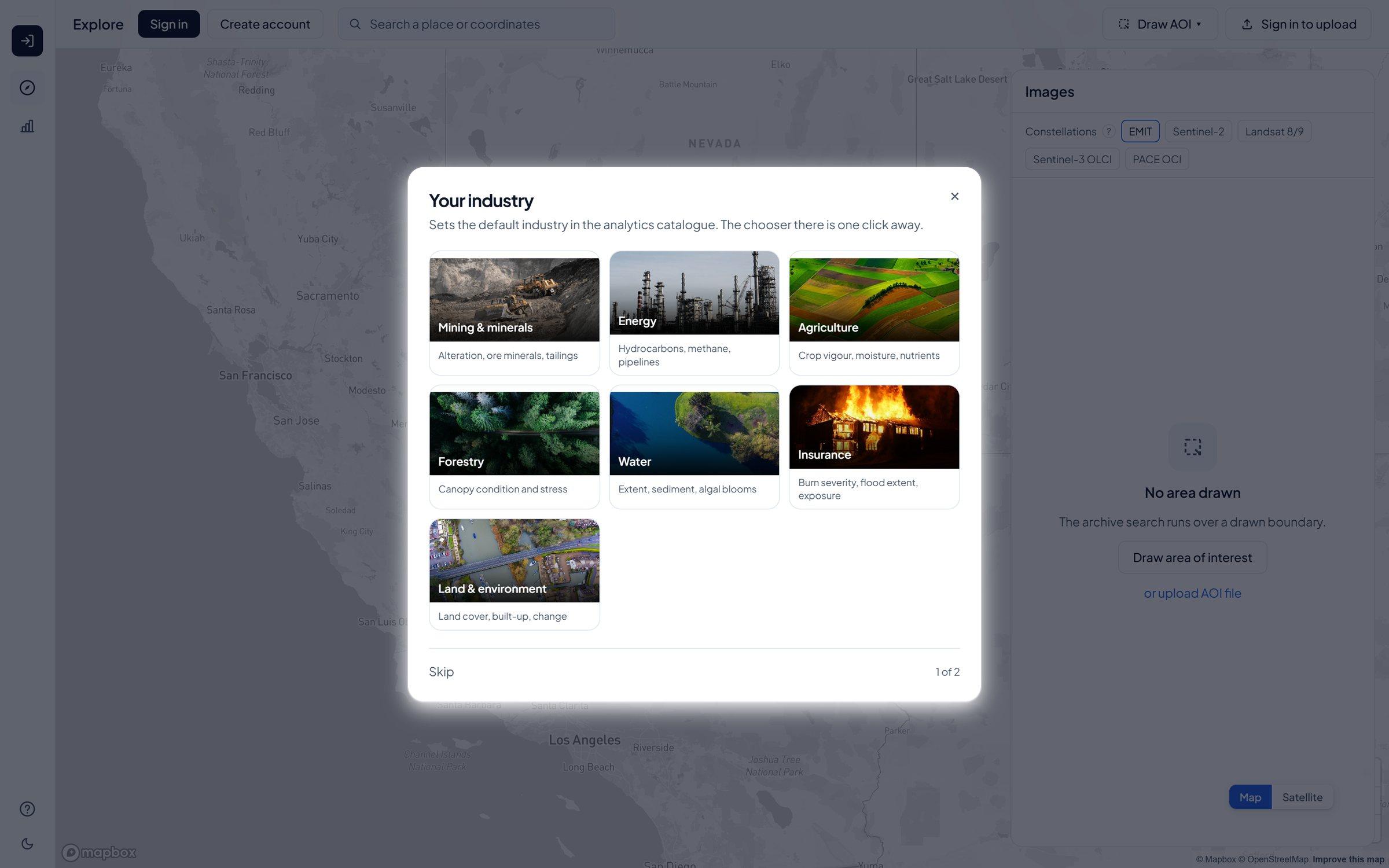
Axine Labs has officially launched Lisaris EO Studio, its flagship cloud-native earth observation platform and analytical engine designed for mineral exploration, energy, forestry, agriculture, and insurance teams.
For decades, extracting commercial answers from satellite data required enterprises to hire dedicated remote sensing PhDs, manage massive cloud egress pipelines, and manually preprocess raw orbital scenes across fragmented desktop software. As a result, high-value capabilities like hyperspectral mineral mapping, methane plume detection, and multi-decade land-use verification remained out of reach for fast-moving operational teams.
Lisaris EO Studio eliminates that infrastructure barrier entirely. Operating directly in the browser or via headless REST API, a user simply defines an area of interest anywhere on Earth to immediately inspect every available historical and current satellite scene across open and commercial constellations, complete with exact capture timestamps, cloud-cover metrics, and sensor footprints.
With a single execution, teams run specialized physical models directly in place across 100 analytical pipelines, including:
- Mineral Exploration: Hydrothermal alteration unmixing, iron oxide ratios, clay/carbonate mapping, and structural lineament extraction.
- Energy & Infrastructure: Point-source methane plume detection, pipeline right-of-way encroachment, and thermal anomaly monitoring.
- Forestry & EUDR Compliance: Pre-2020 baseline reconstruction, canopy degradation tracking, and plantation verification.
- Agriculture & Water: Multi-decade weekly crop vigor reconstruction, evapotranspiration modelling, soil moisture estimation, and inland water quality indexing.
Unlike conventional mapping portals that output unverified visual heatmaps, every analytical layer generated in Lisaris EO Studio returns as a dated, immutable record. Each output carries the exact source scene identifiers, acquisition timestamps, atmospheric correction parameters, and model version that produced it, ensuring every commercial decision or regulatory filing can be traced back to the exact orbital pixels it came from. When operations demand sub-metre visual confirmation, users can trigger high-resolution commercial tasking and archive retrieval directly through integrated partner SkyFi.
"We built Lisaris EO Studio on a simple premise: industrial teams don't want to buy raw satellite pixels, and they don't want unverified black-box heatmaps," said David Adeyemo, Founder and CEO of Axine Labs. "They need deterministic, audit-ready answers, whether that's locating a lithium alteration zone in Nigeria or clearing ten thousand cocoa plots for European export, delivered in minutes with full pixel provenance."
Lisaris EO Studio is live today. A complete technical walkthrough of the platform is available on the Axine Labs blog, and enterprise teams can launch a workspace at lisaris.axinelabs.com.
About Axine Labs
Axine Laboratories Inc. (Axine Labs) is an applied spectroscopy and geospatial intelligence company building Lisaris, the autonomous earth observation platform that turns multispectral, hyperspectral, and radar satellite streams into deterministic, audit-grade records. Operating across 100 specialized physical and machine learning models, Lisaris powers mineral exploration targeting, 3D subsurface modelling, EUDR supply chain compliance, infrastructure monitoring, and agricultural intelligence for operators across Africa, Latin America, Asia, and Europe. For more information, visit www.axinelabs.com.
Media & Commercial Enquiries: contact@axinelabs.com