
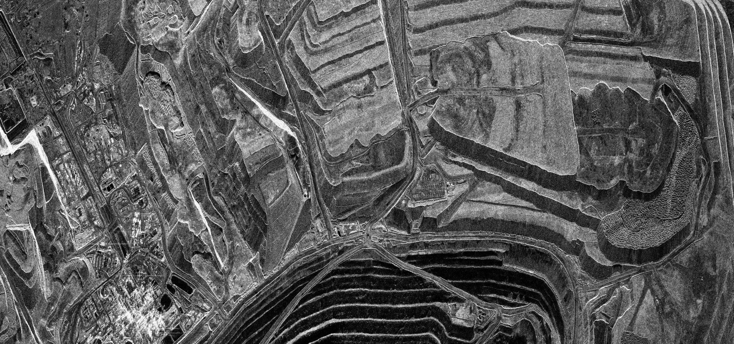
Axine Labs has entered into a partnership with SkyFi, the global satellite imagery marketplace, to embed commercial high-resolution archive retrieval and on-demand satellite tasking directly inside the Lisaris analytics platform.
Across mineral exploration, infrastructure monitoring, and agricultural compliance, earth observation teams operate across two distinct spatial scales. Regional screening and historical baseline reconstruction require the deep spectral breadth and multi-decade archives of public missions like Sentinel-2, Landsat, Sentinel-1 SAR, and NASA's EMIT imaging spectrometer (typically at 10-to-60-metre resolution). However, once an anomaly is detected or a small plot boundary is contested, operators require sub-metre visual certainty to verify ground reality.
Through the SkyFi integration, Lisaris users seamlessly bridge both worlds within a single workflow. After screening thousands of square kilometres using Lisaris's spectral and radar models, users can pull commercial archive imagery or task a new satellite capture down to 50-centimetre resolution directly over specific mine pits, smallholder farm boundaries, construction corridors, or insurance claim parcels.
Crucially, Axine Labs engineered the integration around audit-chain provenance. Rather than delivering detached image files, high-resolution SkyFi scenes remain structurally linked to the Lisaris analytical record they support. Where commercial licensing permits, including optical and Synthetic Aperture Radar (SAR) captures distributed under Creative Commons Attribution frameworks, the underlying source imagery travels directly alongside the Lisaris analytical output. When a customer submits a report to a regulator, investor, or insurer, the auditor inspects the exact same sub-metre pixels that the algorithm evaluated.
"Public satellite constellations give us the spectral physics and historical depth to monitor entire regions, but commercial decisions often come down to a fifty-centimetre boundary line or an active pit wall," said David Adeyemo, Founder and CEO of Axine Labs. "Integrating SkyFi directly into Lisaris means our users can move from regional spectral anomaly detection to sub-metre visual proof in clicks, with the raw imagery permanently attached for the auditor."
High-resolution commercial archive access and custom satellite tasking via SkyFi are available on request to enterprise workspaces within Lisaris.
About Axine Labs
Axine Laboratories Inc. (Axine Labs) is an applied spectroscopy and geospatial intelligence company building Lisaris, the autonomous earth observation platform that turns multispectral, hyperspectral, and radar satellite streams into deterministic, audit-grade records. Operating across 100 specialized physical and machine learning models, Lisaris powers mineral exploration targeting, 3D subsurface modelling, EUDR supply chain compliance, infrastructure monitoring, and agricultural intelligence for operators across Africa, Latin America, Asia, and Europe. For more information, visit www.axinelabs.com.
Media & Commercial Enquiries: contact@axinelabs.com