
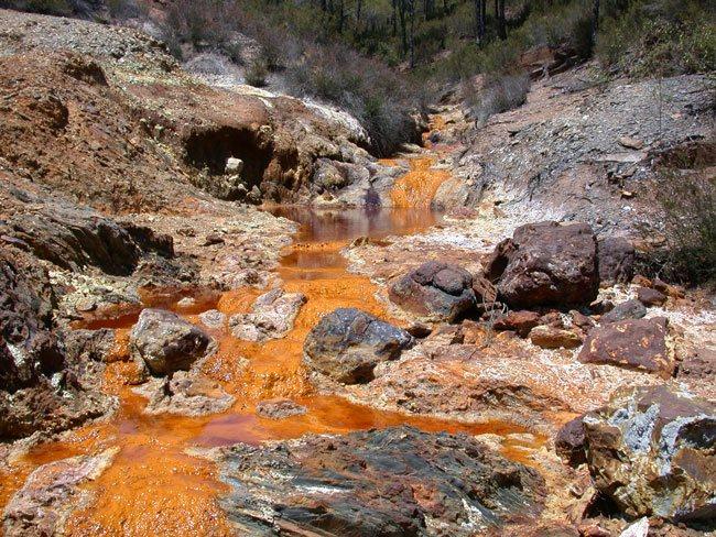
Gossan and Iron Oxide Mapping
Available on requestSeparate hematite from goethite across licence and prospect ground by the position of their absorption features. In true-colour imagery a gossan over sulfides and barren iron staining look alike, so this map identifies which iron oxide is present before sampling begins. The iron hydroxyl reading is reported alongside as a ferric class, with its scope measured against the public mineral reference library. Scenes are shared with the alteration map, ensuring both products sit on one grid.
Built for geologists working leached caps and iron-stained ground, field teams prioritising outcrops for sampling, and environment teams planning drainage sampling.
Core Capabilities
Oxide Speciation
Hematite and goethite are mapped as separate layers rather than a single iron index.
Defined Class Scope
The minerals within the ferric class were recorded against the public reference library.
Shared Grid
Iron oxides and alteration zoning are read from the same scenes and sit on one grid.
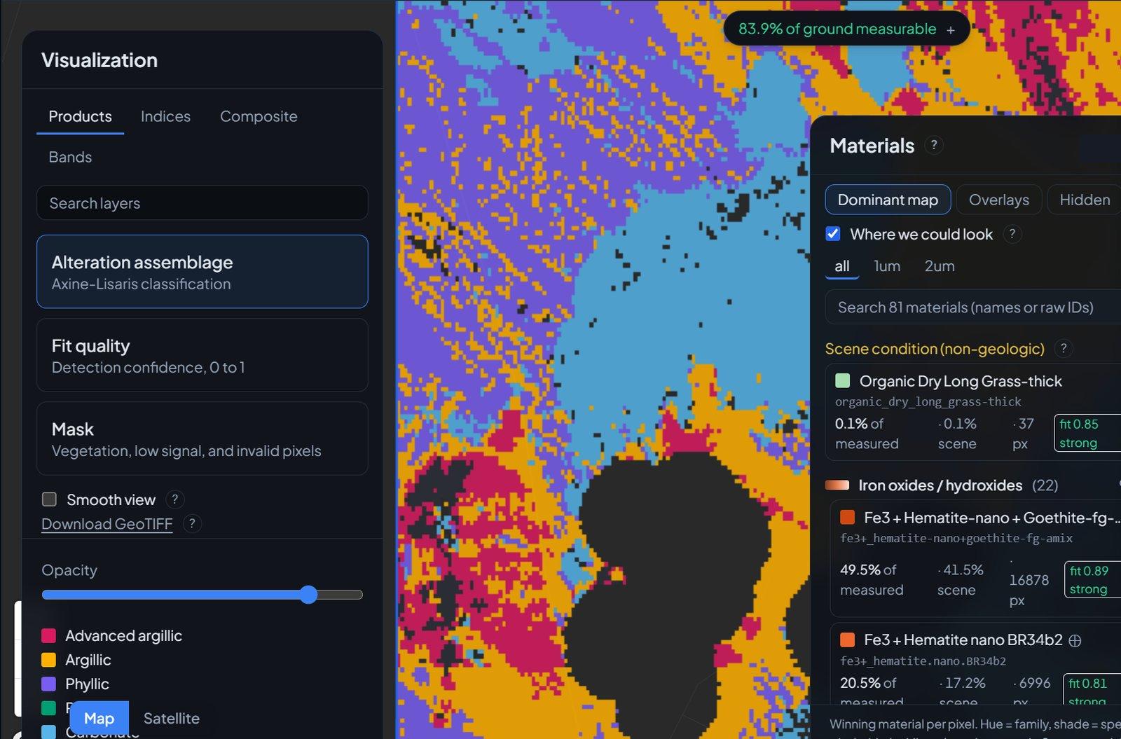
What It Looks Like
Inputs and Deliverables
Inputs Required
- Licence or prospect boundary (GeoJSON, zipped shapefile, or KML).
- No further inputs are required (the product reads the same scenes as the alteration map and can be ordered with it).
Deliverables
- Cloud-Optimized GeoTIFF layers mapping hematite and goethite separately.
- Ferric hydroxyl class layer, reported as a class rather than a single named mineral.
- GeoJSON iron oxide zones for your GIS.
- Provenance record specifying the engine, model version, and scenes.
Methodology and Sources
Public Sources: Open spaceborne hyperspectral archive, Public mineral reference library.
Commercial Sources: High-resolution imagery via our partner SkyFi (on request).
Limits of Detection
Analysis is limited to surface iron oxides and their coatings. Sulfides at depth are not measured.
Hematite and goethite are separated by the position of their absorption features, which true-colour imagery does not show.
The hydroxyl reading is reported as a ferric class. Its scope was established by running the public mineral reference library through the same gate and recording which minerals pass.
Workflow
Submit Boundaries
Provide the licence or prospect geometry.
Scene Selection
We identify the scenes over your ground and the share of exposed surface they cover.
Oxide Mapping
Hematite and goethite are mapped apart, and the ferric class is read alongside them.
Delivery
You receive the GeoTIFF layers, GeoJSON zones, and provenance documentation.
Use Cases
Exploration Geologists
Prioritise which iron-stained outcrops to sample first on a leached cap.
Mine Operators
Map oxide ground around a pit alongside the alteration on one grid.
ESG and Closure Teams
Locate iron oxides and hydroxyl coatings before planning drainage sampling.
Related Solutions
Alteration Mineral Mapping
Classify advanced argillic, argillic, phyllic, propylitic, and carbonate alteration across your licence area.
Exploration Target Ranking
Rank district ground by how closely its surface alteration matches known mineral systems, with a vector to the centre.
Tailings and Acid Drainage Screening
Map moisture and sulfate shifts on embankments and track iron precipitate in downstream channels.
Submit a Licence Area
Provide the boundary of one licence or one belt. Our team runs the alteration map and the district score over it and reviews the results with your geologists.