
Triagem de Drenagem Ácida
Revestimentos secundários de ferro e sulfato ao longo de canais de descarga de mina, mapeados como classe férrica e não como um mineral nomeado.
Triagem de revestimentos de precipitados ao longo de canais de descarga, com um piso férrico condicionando a leitura.
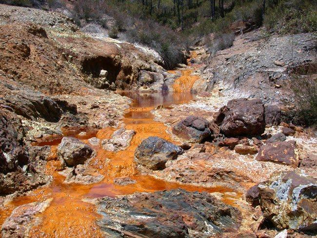
Secondary iron and sulfate coatings along a mining discharge channel, mapped as a lumped ferric class.
O QUE O SENSOR VÊ
O que esta camada procura.
A referência de laboratório de cada material, e o que o espaçamento de bandas do sensor captura dela. A faixa sombreada marca o intervalo que o método lê.
O QUE ELA ENCONTRA
O que ela detecta.
| Material | Contexto típico | O que pode confundi-la |
|---|---|---|
| Ferric hydroxyl class (schwertmannite and copiapite are two candidates) | Acid rock drainage and coal mine seep channels | Copper carbonates, opal, dolomite and brucite all clear the same gate; turbid standing water adds its own sediment signal |
MÉTODO
Como funciona.
Entra reflectância calibrada, e cada pixel é ajustado contra uma biblioteca pública de referência.
Drainage corridor masking
Active and ephemeral channels are delineated from elevation data and everything off-channel is dropped.
Ferric floor and hydroxyl depth
A pixel must clear a ferric floor before its hydroxyl depth is read at all, which removes white minerals that carry the same OH feature without any iron.
Class reported without a mineral name
The output is a lumped ferric class. No pH is inferred and no individual sulfate is named, because roughly thirty minerals pass this gate and several of them are common at a copper mine.
Reach attribution
Channel segments carry the class, the evaluable pixel fraction and the scene they came from.
ESPECIFICAÇÕES
O que você recebe, e sobre o que ela roda.
Condições de que precisa
Method and checks are documented in Axine Applied Spectroscopy Paper #3 · Section 5.1.
Escopo
Reports a ferric class rather than a named mineral or a pH. Dissolved metals in clear water leave nothing to see.
EXECUTE SOBRE O SEU TERRENO
Execute esta camada sobre a sua própria área.
Solicite processamento sobre a sua área de interesse, ou uma captura programada onde o acervo não tiver nada utilizável. O acesso às imagens de satélite nunca é cobrado: um plano compra os modelos.
ANALÍTICAS COMPLEMENTARES
Camadas relacionadas.
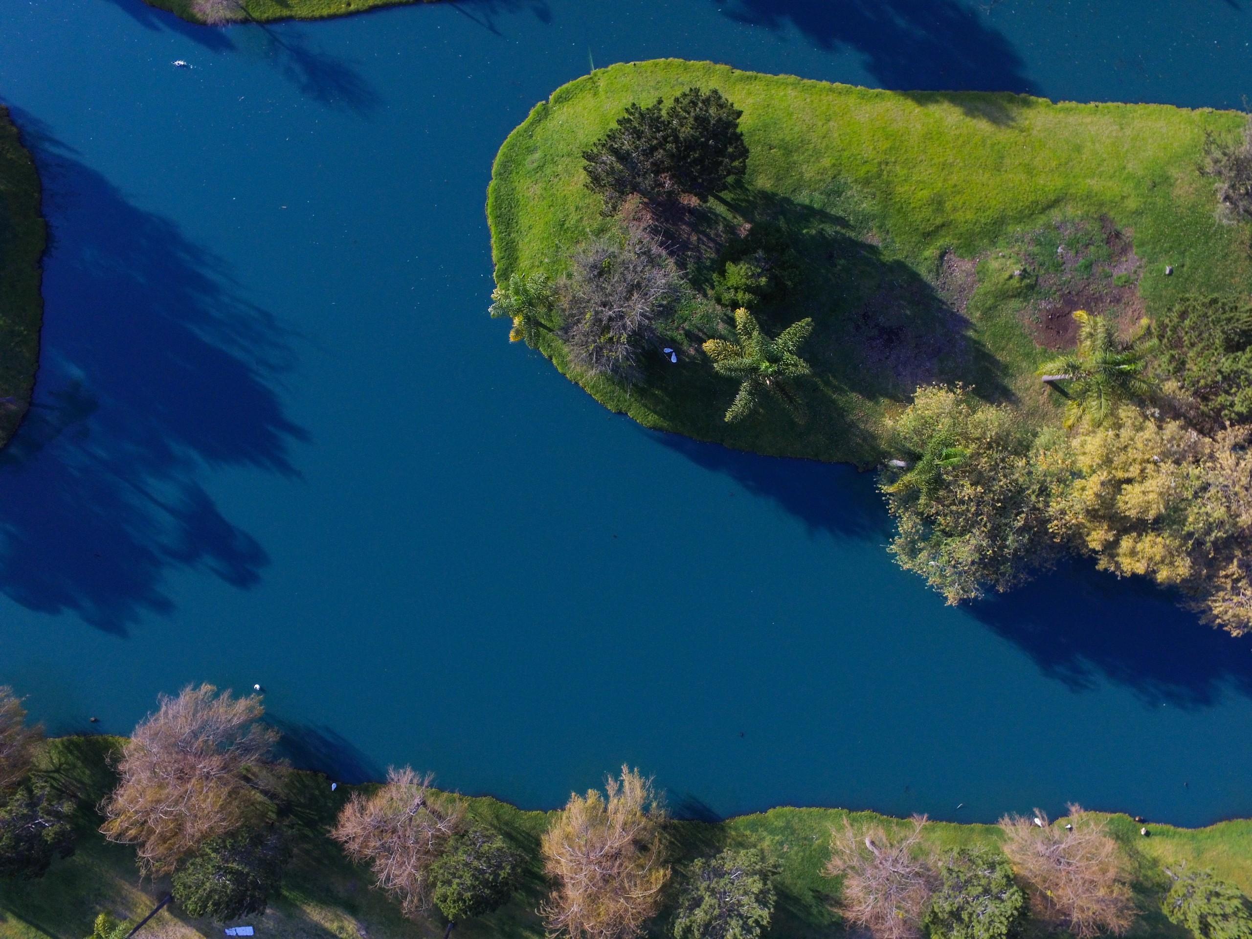
Qualidade de Águas Superficiais
Triagem de pigmento e turbidez sobre águas interiores, usando ajustes publicados aplicados sem alterações.
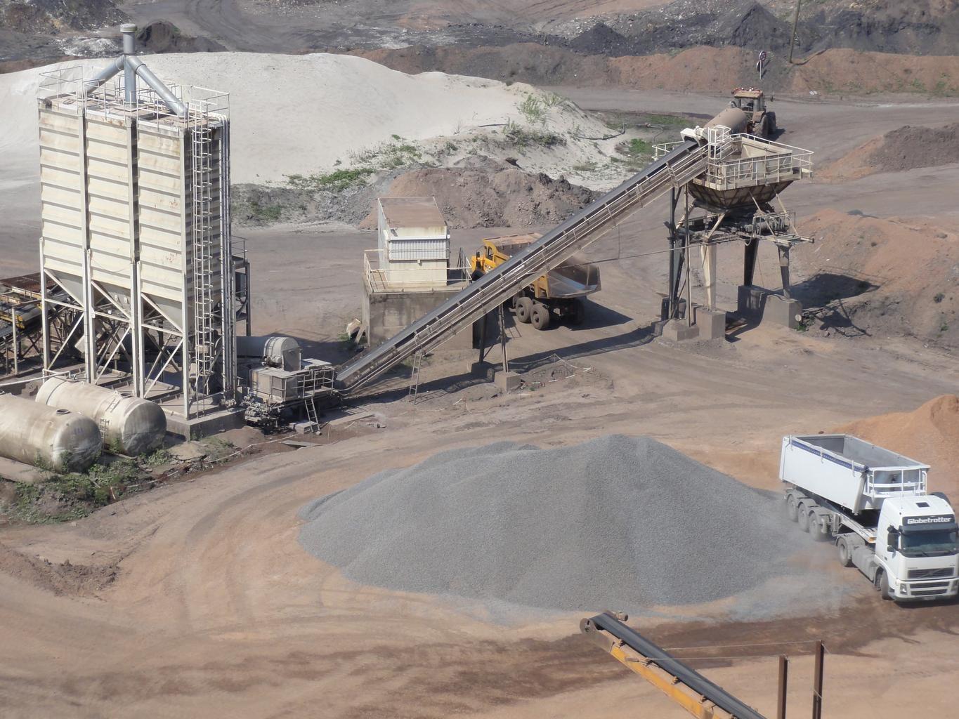
Estabilidade e Infiltração de Barragens de Rejeitos
Monitora umidade e intemperismo de sulfato em faces expostas de talude, diferenciados entre datas.
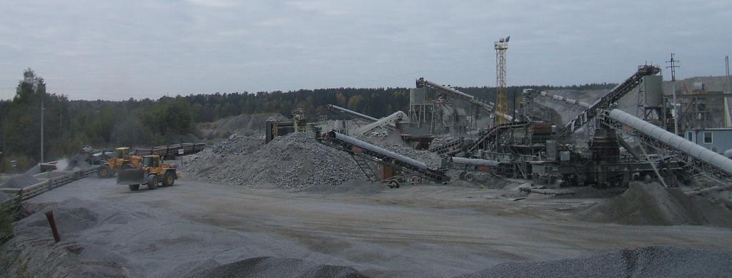
Gossan e Especiação de Óxidos de Ferro
Separa hematita de goethita e reporta a leitura associada de ferro-hidroxila como classe férrica.