
Estabilidad y Filtraciones de Presas de Relaves
Monitoreo de terraplenes para humedad superficial y eflorescencia de sulfato, diferenciado contra una línea base de fecha seca.
Monitorea humedad y meteorización de sulfato en caras expuestas del terraplén, diferenciadas entre fechas.
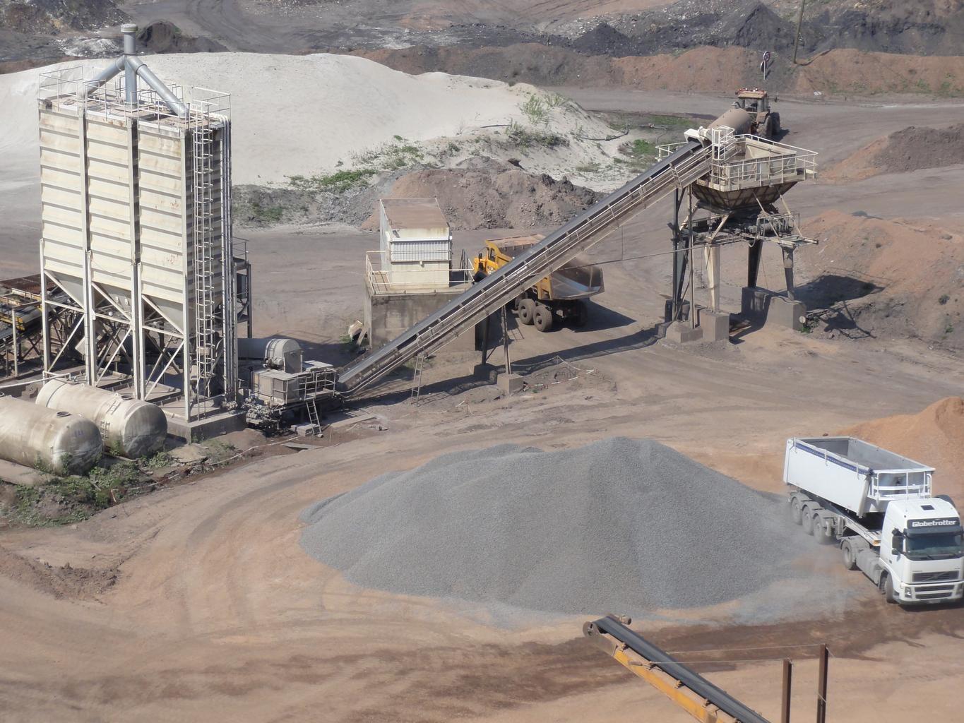
Mine spoil tips. The layer watches embankment faces for moisture change.
LO QUE VE EL SENSOR
Qué busca esta capa.
La referencia de laboratorio de cada material, y qué captura de ella el espaciado de bandas del sensor. La banda sombreada marca el rango que lee el método.
QUÉ ENCUENTRA
Qué detecta.
| Material | Entorno típico | Qué puede confundirlo |
|---|---|---|
| Moisture Seepage & Phreatic Line Emergence | Tailings storage facilities (TSF), dam downstream slopes, and buttress toes | Recent rainfall events (requires baseline temporal subtraction) |
MÉTODO
Cómo funciona.
Entra reflectancia calibrada, y cada píxel se ajusta contra una biblioteca pública de referencia.
Grid handling over steep ground
Imagery is reprojected onto a common grid rather than resampled, which matters on an embankment face where a small horizontal error moves a pixel a long way down the slope.
Surface moisture band depth
Water absorption depth, normalised by brightness. Which feature carries the measurement depends on what the sensor in front of it actually covers.
Difference against a dry baseline
A dry date is subtracted so uniform rainfall wetting cancels and only persistent wet ground remains. The scene-wide median offset is surfaced and can be removed.
Zones reported, not scored
Persistent wet zones are outlined and handed over with their coordinates. No stability score is computed, because a spectral reading of a surface cannot support one.
ESPECIFICACIONES
Qué obtiene, y sobre qué corre.
Condiciones que necesita
Method and checks are documented in Axine Applied Spectroscopy Paper #3 · Section 7.1.
Alcance
Reads the exposed face only. Pore pressure and the phreatic surface stay with your piezometers.
EJECÚTELO SOBRE SU TERRENO
Ejecute esta capa sobre su propia área.
Ordene procesamiento sobre su área de interés, o una captura programada donde el archivo no tenga nada utilizable. El acceso a las imágenes nunca se cobra: un plan compra los modelos.
ANALÍTICA COMPLEMENTARIA
Capas relacionadas.
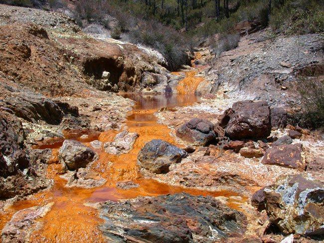
Detección de Drenaje Ácido
Cribado de recubrimientos de precipitados a lo largo de canales de descarga, con un piso férrico condicionando la lectura.
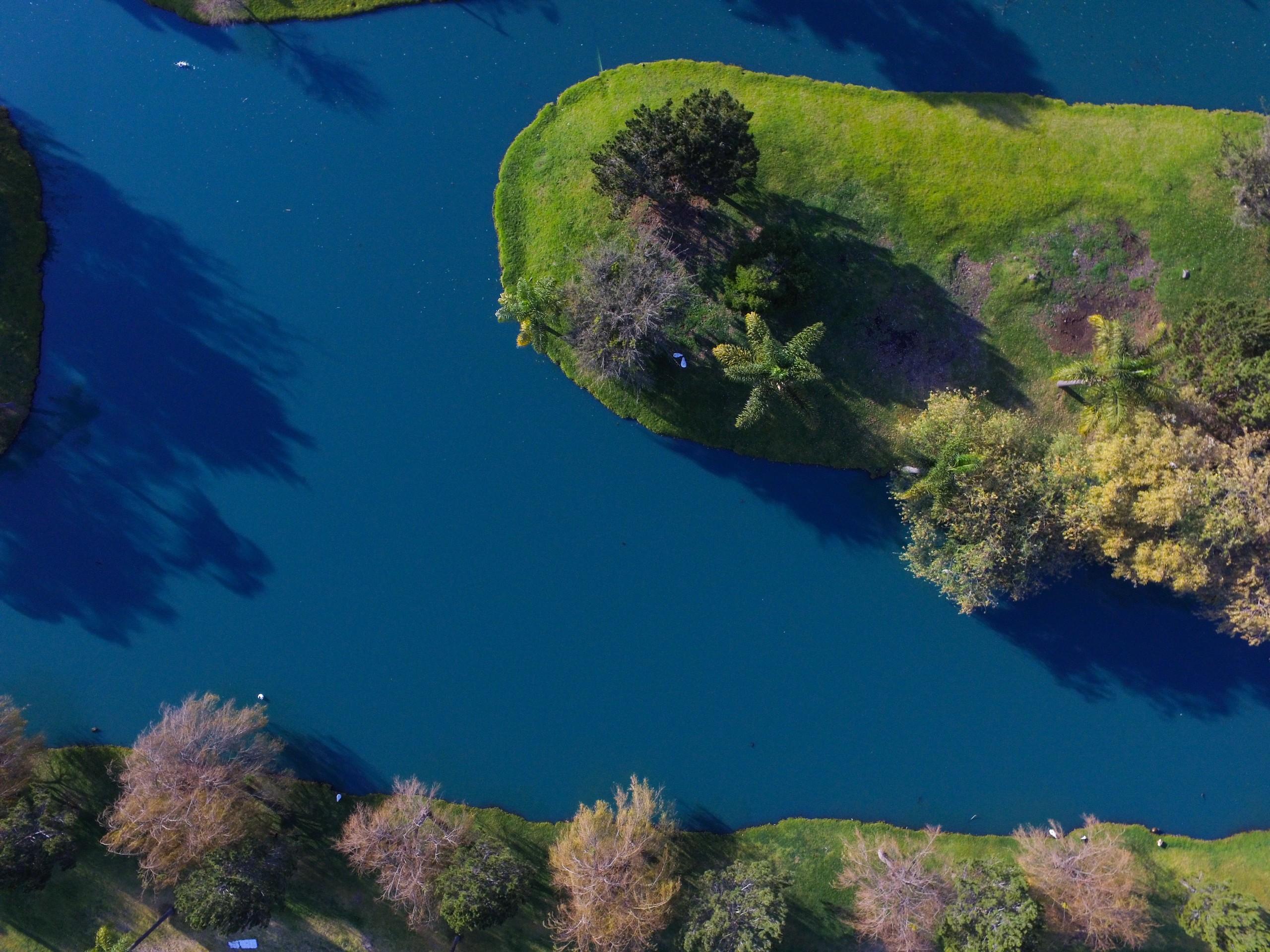
Calidad de Aguas Superficiales
Cribado de pigmento y turbidez en aguas interiores, con ajustes publicados aplicados sin cambios.
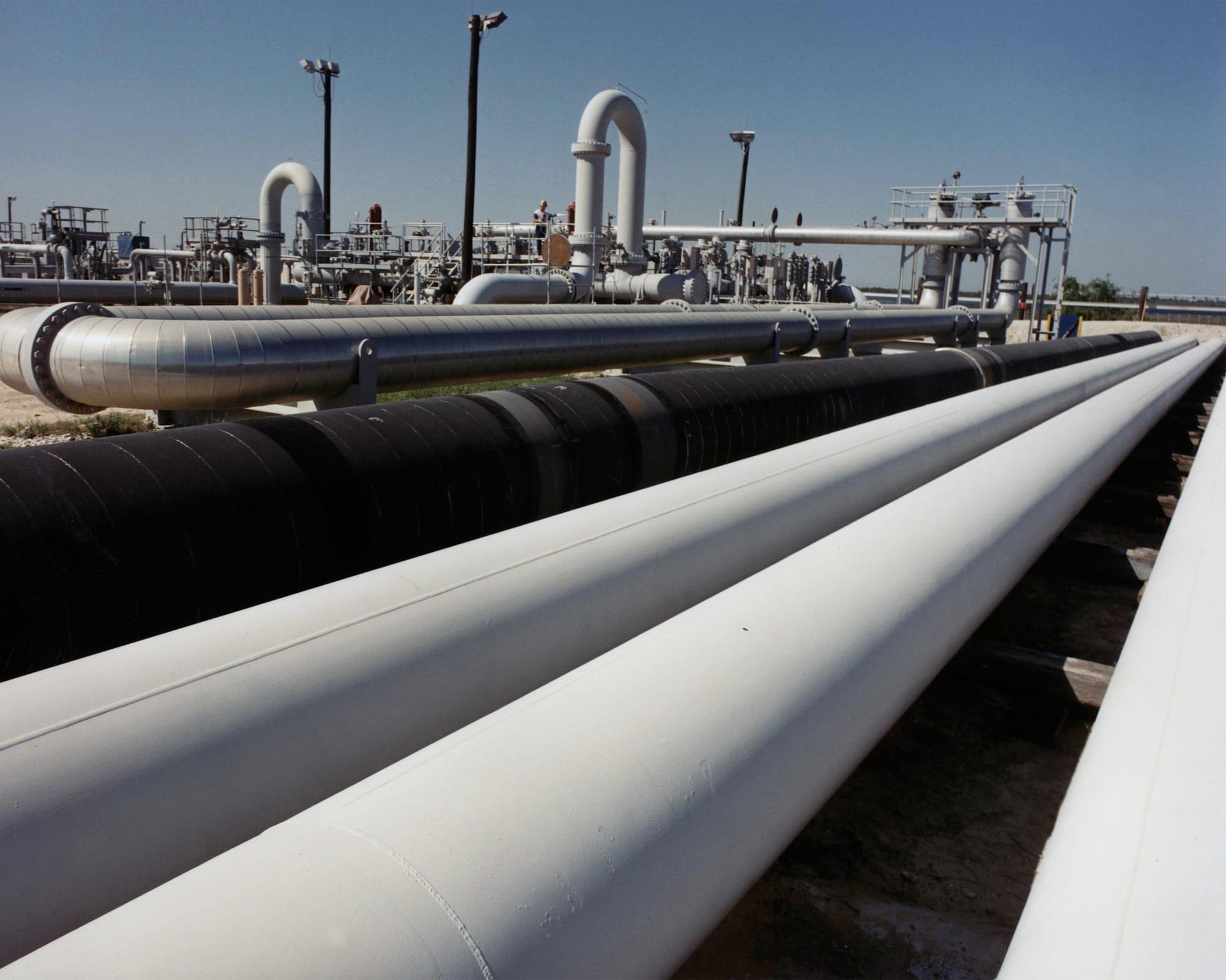
Estabilidad del Terreno en Corredores de Ductos
Sigue arcillas expansivas y humedad a lo largo de un corredor, para que las cuadrillas vayan adonde el terreno realmente se movió.