
Detección de Drenaje Ácido
Recubrimientos secundarios de hierro y sulfato a lo largo de canales de descarga minera, mapeados como clase férrica y no como un mineral con nombre.
Cribado de recubrimientos de precipitados a lo largo de canales de descarga, con un piso férrico condicionando la lectura.
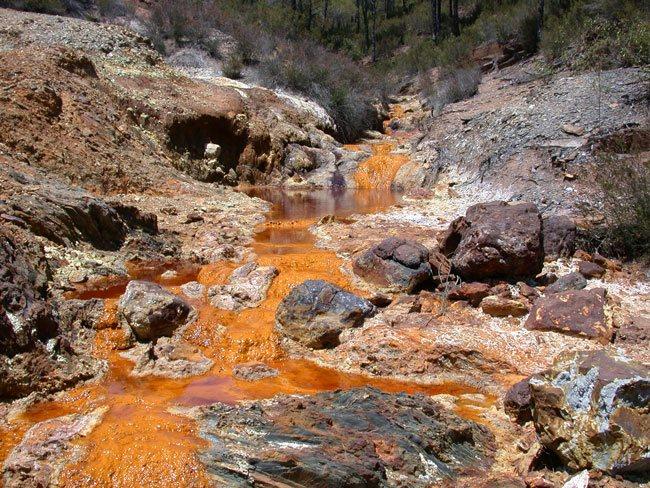
Secondary iron and sulfate coatings along a mining discharge channel, mapped as a lumped ferric class.
LO QUE VE EL SENSOR
Qué busca esta capa.
La referencia de laboratorio de cada material, y qué captura de ella el espaciado de bandas del sensor. La banda sombreada marca el rango que lee el método.
QUÉ ENCUENTRA
Qué detecta.
| Material | Entorno típico | Qué puede confundirlo |
|---|---|---|
| Ferric hydroxyl class (schwertmannite and copiapite are two candidates) | Acid rock drainage and coal mine seep channels | Copper carbonates, opal, dolomite and brucite all clear the same gate; turbid standing water adds its own sediment signal |
MÉTODO
Cómo funciona.
Entra reflectancia calibrada, y cada píxel se ajusta contra una biblioteca pública de referencia.
Drainage corridor masking
Active and ephemeral channels are delineated from elevation data and everything off-channel is dropped.
Ferric floor and hydroxyl depth
A pixel must clear a ferric floor before its hydroxyl depth is read at all, which removes white minerals that carry the same OH feature without any iron.
Class reported without a mineral name
The output is a lumped ferric class. No pH is inferred and no individual sulfate is named, because roughly thirty minerals pass this gate and several of them are common at a copper mine.
Reach attribution
Channel segments carry the class, the evaluable pixel fraction and the scene they came from.
ESPECIFICACIONES
Qué obtiene, y sobre qué corre.
Condiciones que necesita
Method and checks are documented in Axine Applied Spectroscopy Paper #3 · Section 5.1.
Alcance
Reports a ferric class rather than a named mineral or a pH. Dissolved metals in clear water leave nothing to see.
EJECÚTELO SOBRE SU TERRENO
Ejecute esta capa sobre su propia área.
Ordene procesamiento sobre su área de interés, o una captura programada donde el archivo no tenga nada utilizable. El acceso a las imágenes nunca se cobra: un plan compra los modelos.
ANALÍTICA COMPLEMENTARIA
Capas relacionadas.
Calidad de Aguas Superficiales
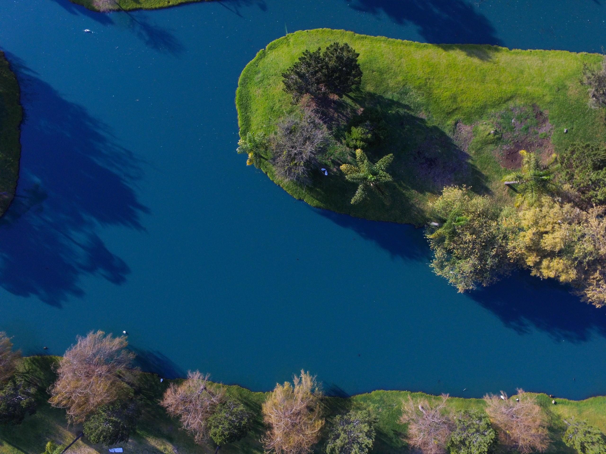
Cribado de pigmento y turbidez en aguas interiores, con ajustes publicados aplicados sin cambios.
Estabilidad y Filtraciones de Presas de Relaves
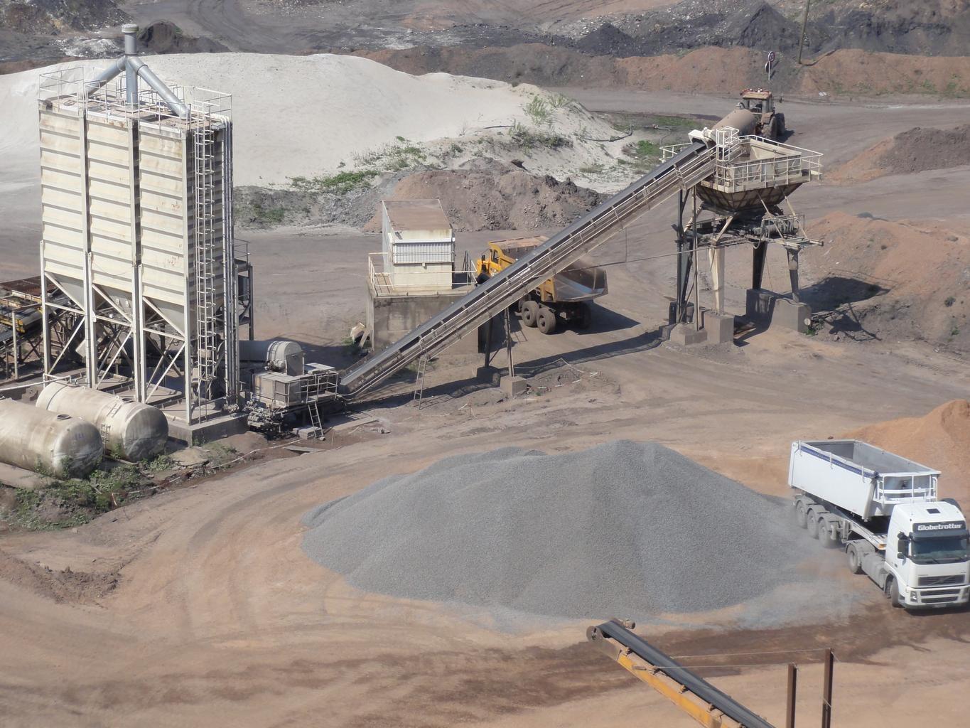
Monitorea humedad y meteorización de sulfato en caras expuestas del terraplén, diferenciadas entre fechas.
Gossan y Especiación de Óxidos de Hierro
Separa la hematita de la goethita y reporta la lectura asociada de hierro-hidroxilo como clase férrica.