
Índice de Pegmatitas de Litio
Mica con litio leída según dónde se ubica su absorción, que es lo que separa un dique de lepidolita de la mica blanca común.
Mapea la mica con litio por cómo su firma difiere de la mica blanca común.
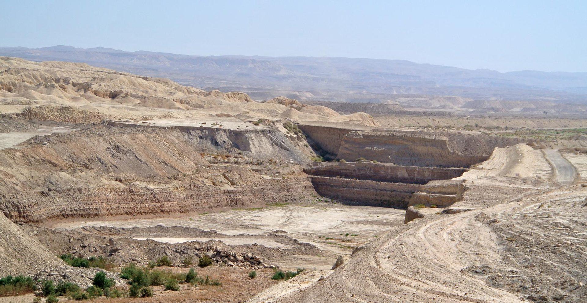
Open-pit mining in arid terrain, the kind of ground the index is built to screen.
LO QUE VE EL SENSOR
Qué busca esta capa.
La referencia de laboratorio de cada material, y qué captura de ella el espaciado de bandas del sensor. La banda sombreada marca el rango que lee el método.
QUÉ ENCUENTRA
Qué detecta.
| Material | Entorno típico | Qué puede confundirlo |
|---|---|---|
| Lepidolite & Li-Muscovite | LCT pegmatite dykes and lithium granites | Ordinary white mica in barren granite |
MÉTODO
Cómo funciona.
Entra reflectancia calibrada, y cada píxel se ajusta contra una biblioteca pública de referencia.
Continuum removal over the white-mica window
Continuum removal restricted to the narrow range where the mica signature sits.
Absorption position extraction
Locates the wavelength of the absorption minimum by fitting across neighbouring channels. Interpolation between band centres is not the same as resolving them, and the precision claimed here is bounded by the sensor sampling.
Dyke swarm delineation
Connects pixels whose absorption sits short of the ordinary white mica position along a common strike.
Evaluability masking
Alluvial sand, dry grass and shadow are removed. Dry grass matters more than it sounds: its cellulose absorption sits close enough to confuse a mica reading.
ESPECIFICACIONES
Qué obtiene, y sobre qué corre.
Condiciones que necesita
Method and checks are documented in Axine Applied Spectroscopy Paper #1 · Section 7.1.
Alcance
An indicator for lithium-bearing mica, not a grade estimate. Spodumene itself is not reliably separable.
EJECÚTELO SOBRE SU TERRENO
Ejecute esta capa sobre su propia área.
Ordene procesamiento sobre su área de interés, o una captura programada donde el archivo no tenga nada utilizable. El acceso a las imágenes nunca se cobra: un plan compra los modelos.
ANALÍTICA COMPLEMENTARIA
Capas relacionadas.
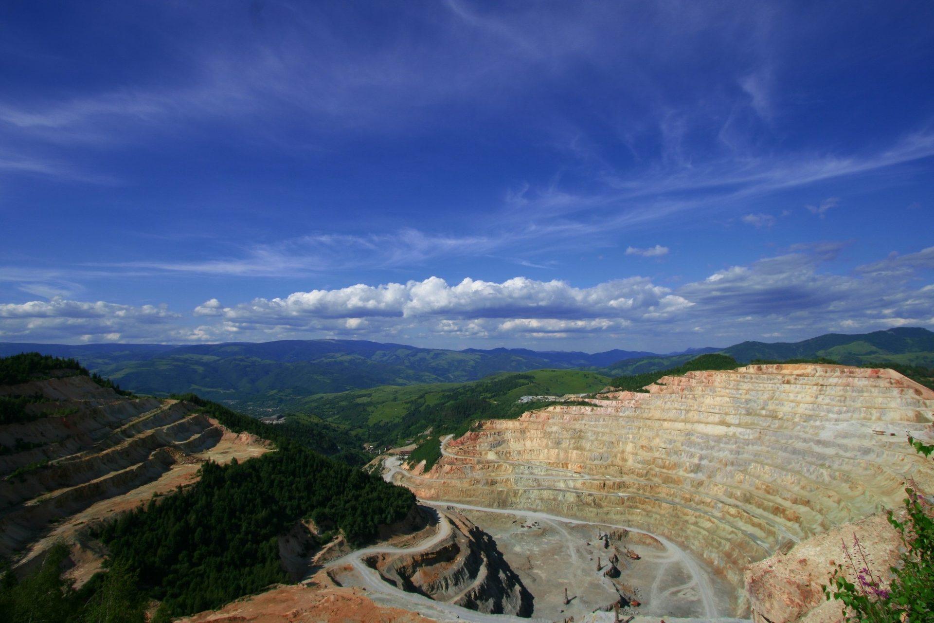
Mapeo de Minerales de Alteración
Mineralogía de alteración por píxel que separa asociaciones argílica avanzada, fílica y propilítica.
Gossan y Especiación de Óxidos de Hierro
Separa la hematita de la goethita y reporta la lectura asociada de hierro-hidroxilo como clase férrica.
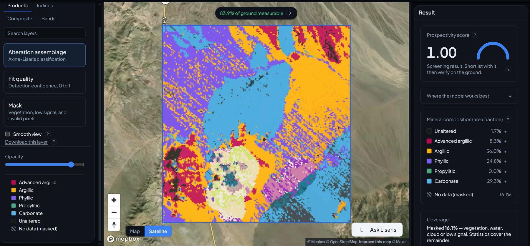
Detección de Clústeres de Alteración
Agrupamiento vectorizado que extrae los núcleos hidrotermales centrales y los nodos desde los que vale la pena trabajar hacia afuera.