
Detección de Clústeres de Alteración
Alteración devuelta como clústeres en lugar de píxeles sueltos, para que obtenga polígonos con los que un equipo de campo pueda trabajar.
Agrupamiento vectorizado que extrae los núcleos hidrotermales centrales y los nodos desde los que vale la pena trabajar hacia afuera.
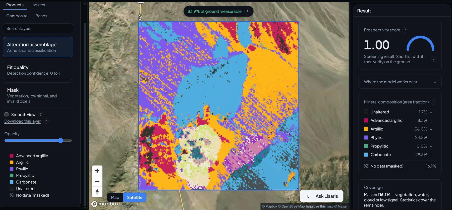
Vectorised alteration clusters: advanced argillic hubs and the structural offsets that break them.
LO QUE VE EL SENSOR
Qué busca esta capa.
La referencia de laboratorio de cada material, y qué captura de ella el espaciado de bandas del sensor. La banda sombreada marca el rango que lee el método.
QUÉ ENCUENTRA
Qué detecta.
| Material | Entorno típico | Qué puede confundirlo |
|---|---|---|
| Hydrothermal Alteration Hubs | Breccia pipes, structural intersections, and intrusive contacts | Anthropogenic ground disturbance |
MÉTODO
Cómo funciona.
Entra reflectancia calibrada, y cada píxel se ajusta contra una biblioteca pública de referencia.
Reflectance ingest and grid handling
Bands are reprojected onto a common grid rather than resampled, a rule a static test enforces on every build.
Density-based clustering (DBSCAN)
Finds dense spatial aggregates of pixels whose diagnostic band depths clear the gate, and leaves isolated pixels unclustered.
Polygon boundary generation
Turns classified clusters into vector boundaries carrying interior zonation statistics.
Per-cluster attribution
Each polygon carries its area, its centroid, the dominant absorption behind it, and the fraction of its pixels that were evaluable at all.
ESPECIFICACIONES
Qué obtiene, y sobre qué corre.
Condiciones que necesita
Method and checks are documented in Axine Applied Spectroscopy Paper #1 · Section 6.3.
Alcance
Needs exposed rock or residual soil. Under canopy the polygons come back with a low evaluable fraction, which is reported on the layer.
EJECÚTELO SOBRE SU TERRENO
Ejecute esta capa sobre su propia área.
Ordene procesamiento sobre su área de interés, o una captura programada donde el archivo no tenga nada utilizable. El acceso a las imágenes nunca se cobra: un plan compra los modelos.
ANALÍTICA COMPLEMENTARIA
Capas relacionadas.
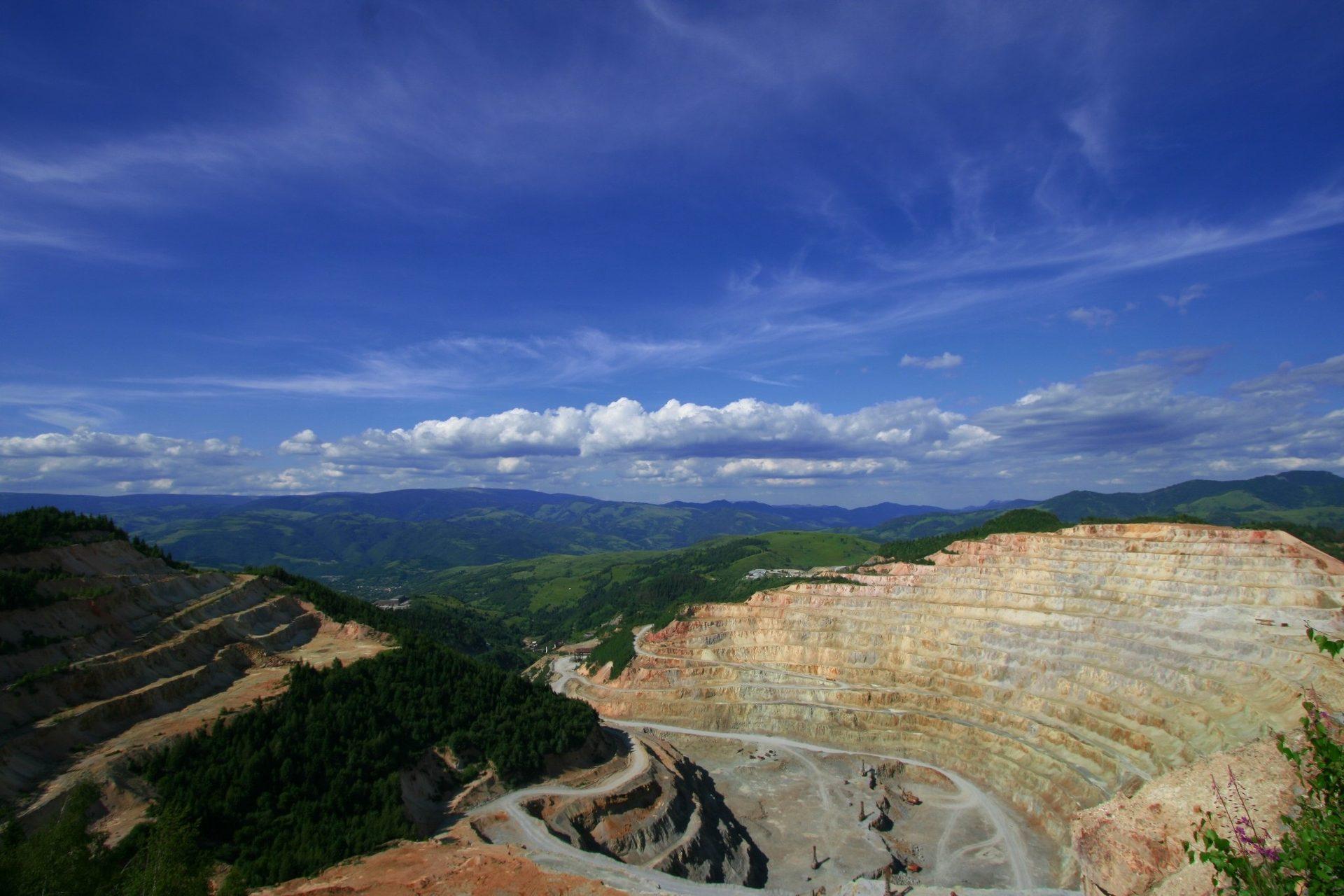
Mapeo de Minerales de Alteración
Mineralogía de alteración por píxel que separa asociaciones argílica avanzada, fílica y propilítica.
Vectorización de Pórfidos Cu-Au
Vectoriza hacia el centro hidrotermal siguiendo cómo cambia la composición de la mica blanca a través del distrito.
Clasificación de Prospectividad Distrital
Puntuación regional de probabilidad para sistemas hidrotermales, respaldada por validación cruzada dejando una región fuera.