
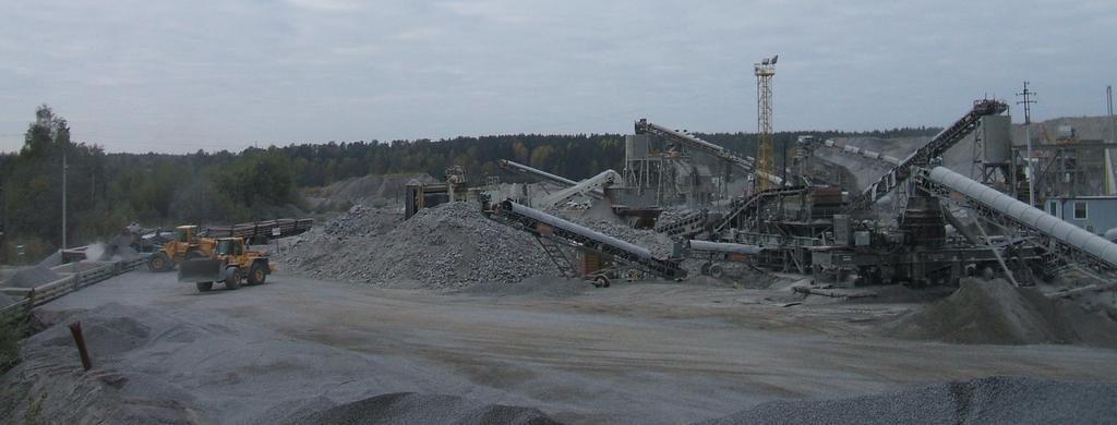
Methane Screening Near Operations
Available on requestOutline point-source methane plumes over designated facilities from spaceborne hyperspectral scenes. Where a reviewed public plume product covers a scene, it is passed through with its original provenance. Our own filter runs over the same scenes alongside it, adding candidates outside public coverage. Each plume outline gives an inspection crew a defined starting point.
Built for environment and ESG teams accountable for methane at their sites, operators prioritising inspections, and investors reviewing facilities across a portfolio.
Core Capabilities
Reviewed Plumes First
Where a reviewed public plume product covers a scene, it passes through with its own provenance.
Parallel Filtering
Our own filter runs over the same scenes to add candidates outside public coverage.
Documented Sensitivity
A sensitivity layer shows where a plume could be observed, so a blank is never read as clean.
Inputs and Deliverables
Inputs Required
- Facility locations or site boundary (GeoJSON, zipped shapefile, or KML).
- The period to be screened.
Deliverables
- Plume outlines as GeoJSON polygons.
- Cloud-Optimized GeoTIFF methane column enhancement and detection score layers.
- Sensitivity layer showing where a plume could be observed in each scene.
- Provenance record specifying the granule, methodology version, and the reason for any missing value.
Methodology and Sources
Public Sources: Open spaceborne hyperspectral archive, Reviewed public plume products.
Limits of Detection
Analysis is limited to point-source plumes over land, with water and snow surfaces excluded. Emission totals for inventory reporting are not measured.
Sunlit, bright, dry ground provides the strongest signal. Detection depends on wind and surface brightness, so the response is reported per plume rather than as a single floor.
Reviewed public plume products retain their reviewers’ provenance, and results from our own filter are labelled separately beside them.
Workflow
Submit Boundaries
Provide the facility locations or site geometry.
Scene Selection
Specify the period. We identify the scenes and any reviewed public plumes over your facilities.
Plume Detection
Our filter runs over each scene, and the plume outlines and score layers are drawn.
Delivery
You receive the plume outlines, score and sensitivity layers, and provenance documentation.
Use Cases
Mine Operators
Decide which facility the inspection crew visits first.
ESG and Closure Teams
Maintain a dated methane record over your sites, with every granule named.
Investors and Lenders
Review the facilities in a portfolio for plumes on public scenes that can be traced.
Related Solutions
Mine Footprint and Disturbance
Map and quantify ground disturbance across open pits, waste rock dumps and tailings boundaries between any two dates.
Tailings and Acid Drainage Screening
Map moisture and sulfate shifts on embankments and track iron precipitate in downstream channels.
Alteration Mineral Mapping
Classify advanced argillic, argillic, phyllic, propylitic, and carbonate alteration across your licence area.
Submit a Licence Area
Provide the boundary of one licence or one belt. Our team runs the alteration map and the district score over it and reviews the results with your geologists.