
Mapeamento Mineral de Alteração
Desenhe sua área de concessão e receba um mapa de alteração classificado: argílico avançado, filítico e propilítico, resolvidos por pixel.
Mineralogia de alteração por pixel separando assembleias argílicas avançadas, filíticas e propilíticas.
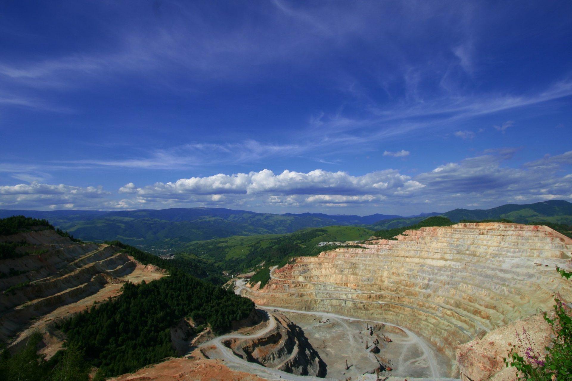
A historic mining district in Nevada. Continuum-removed alteration assemblage: advanced argillic (alunite, pyrophyllite) against phyllic (illite, muscovite).
O QUE O SENSOR VÊ
O que esta camada procura.
A referência de laboratório de cada material, e o que o espaçamento de bandas do sensor captura dela. A faixa sombreada marca o intervalo que o método lê.
O QUE ELA ENCONTRA
O que ela detecta.
| Material | Contexto típico | O que pode confundi-la |
|---|---|---|
| Alunite & Pyrophyllite | High-sulfidation epithermal lithocaps and porphyry cores | Strong atmospheric water vapour at the edge of the window |
| Kaolinite & Dickite | Intermediate argillic alteration and weathering horizons | Poorly crystalline smectite clay mixtures |
| Illite & Muscovite (White Mica) | Phyllic alteration shells in porphyry Cu-Mo-Au systems | Dry canopy cellulose, which overlaps the same range |
| Chlorite & Epidote | Distal propylitic alteration haloes | Calcite and dolomite carbonate absorptions |
MÉTODO
Como funciona.
Entra reflectância calibrada, e cada pixel é ajustado contra uma biblioteca pública de referência.
Surface reflectance ingest
Scenes are read at the archive's own surface reflectance level. Wherever the instrument measured nothing, that gap is declared and carried through, never interpolated across.
Continuum removal
A convex upper hull is fitted across the working range so the shape of each absorption stands apart from overall brightness.
Least-squares fitting against reference spectra
Continuum-removed features are fitted to laboratory reference spectra using non-negative least squares with wavelength shift.
Evaluability masking
Green canopy, cloud, shadow and low-illumination pixels go into a separate "not evaluated" class, hatched in the legend, transparent on the map, null in exports. Not measured is drawn differently from measured zero.
ESPECIFICAÇÕES
O que você recebe, e sobre o que ela roda.
Condições de que precisa
Method and checks are documented in Axine Applied Spectroscopy Paper #1 · Section 4.2.
Escopo
Reads exposed rock and soil. Vegetated and covered ground is masked out, and nothing here speaks to what lies at depth.
EXECUTE SOBRE O SEU TERRENO
Execute esta camada sobre a sua própria área.
Solicite processamento sobre a sua área de interesse, ou uma captura programada onde o acervo não tiver nada utilizável. O acesso às imagens de satélite nunca é cobrado: um plano compra os modelos.
ANALÍTICAS COMPLEMENTARES
Camadas relacionadas.
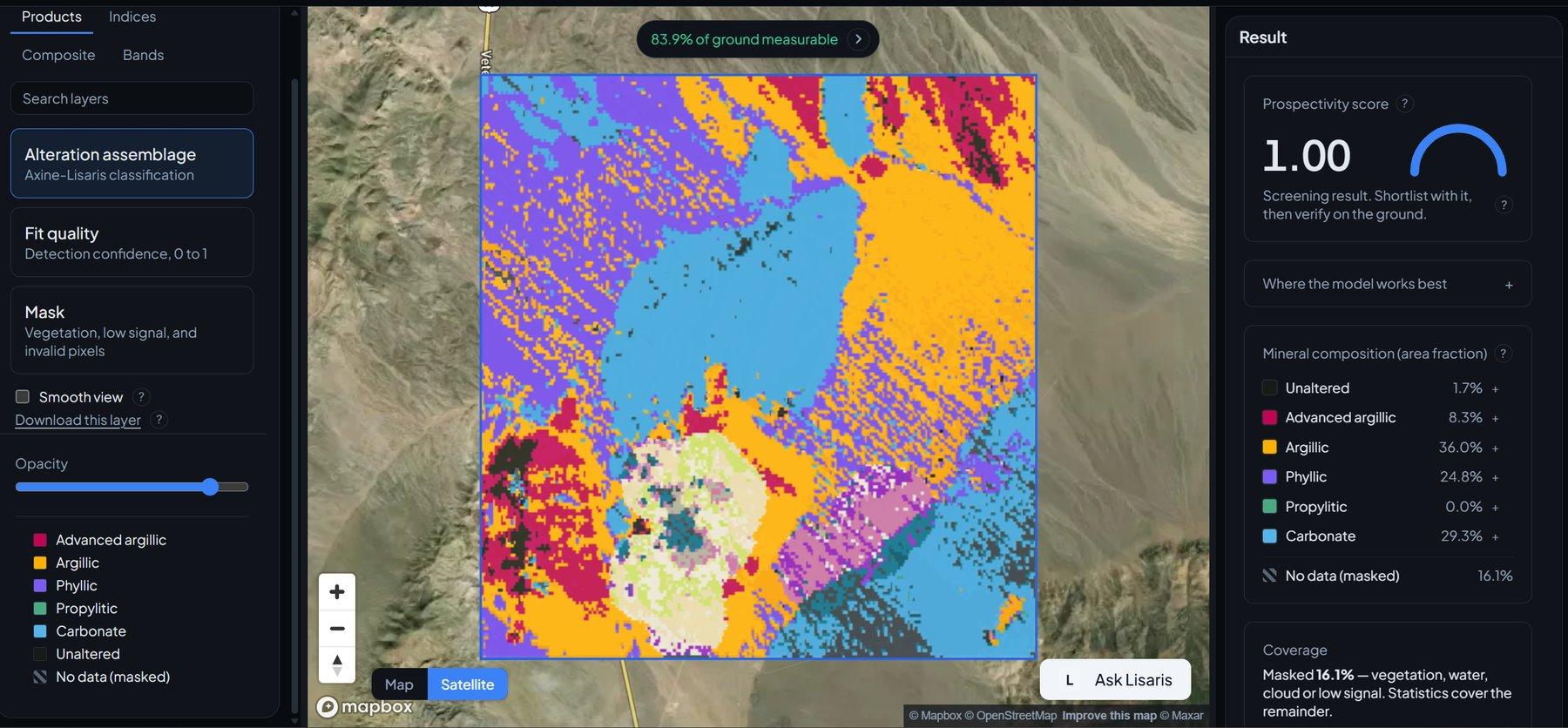
Detecção de Agrupamentos de Alteração
Agrupamento vetorizado que extrai os núcleos hidrotermais centrais e os nós a partir dos quais vale trabalhar para fora.
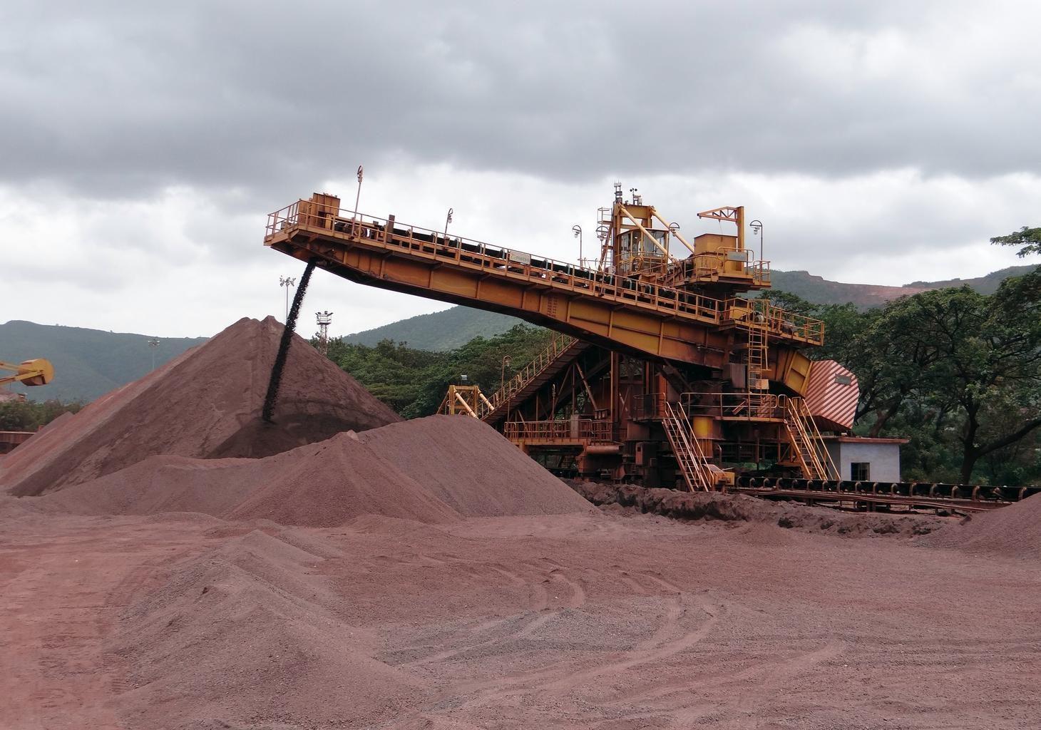
Classificação de Prospectividade Distrital
Pontuação regional de probabilidade para sistemas hidrotermais, respaldada por validação cruzada leave-one-region-out.
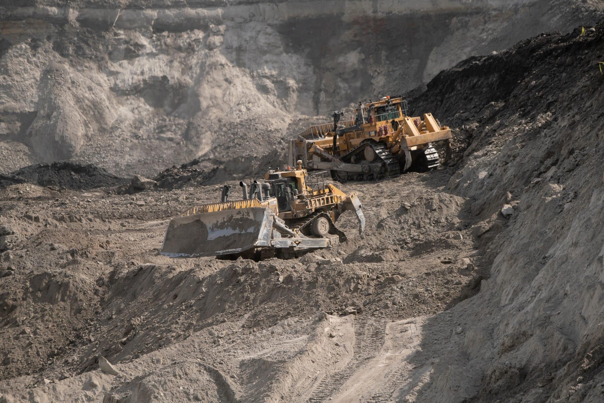
Vetorização de Pórfiro Cu-Au
Vetoriza rumo ao centro hidrotermal acompanhando como a composição da mica branca muda ao longo do distrito.