
Blog
Field notes and release notes from building Lisaris.
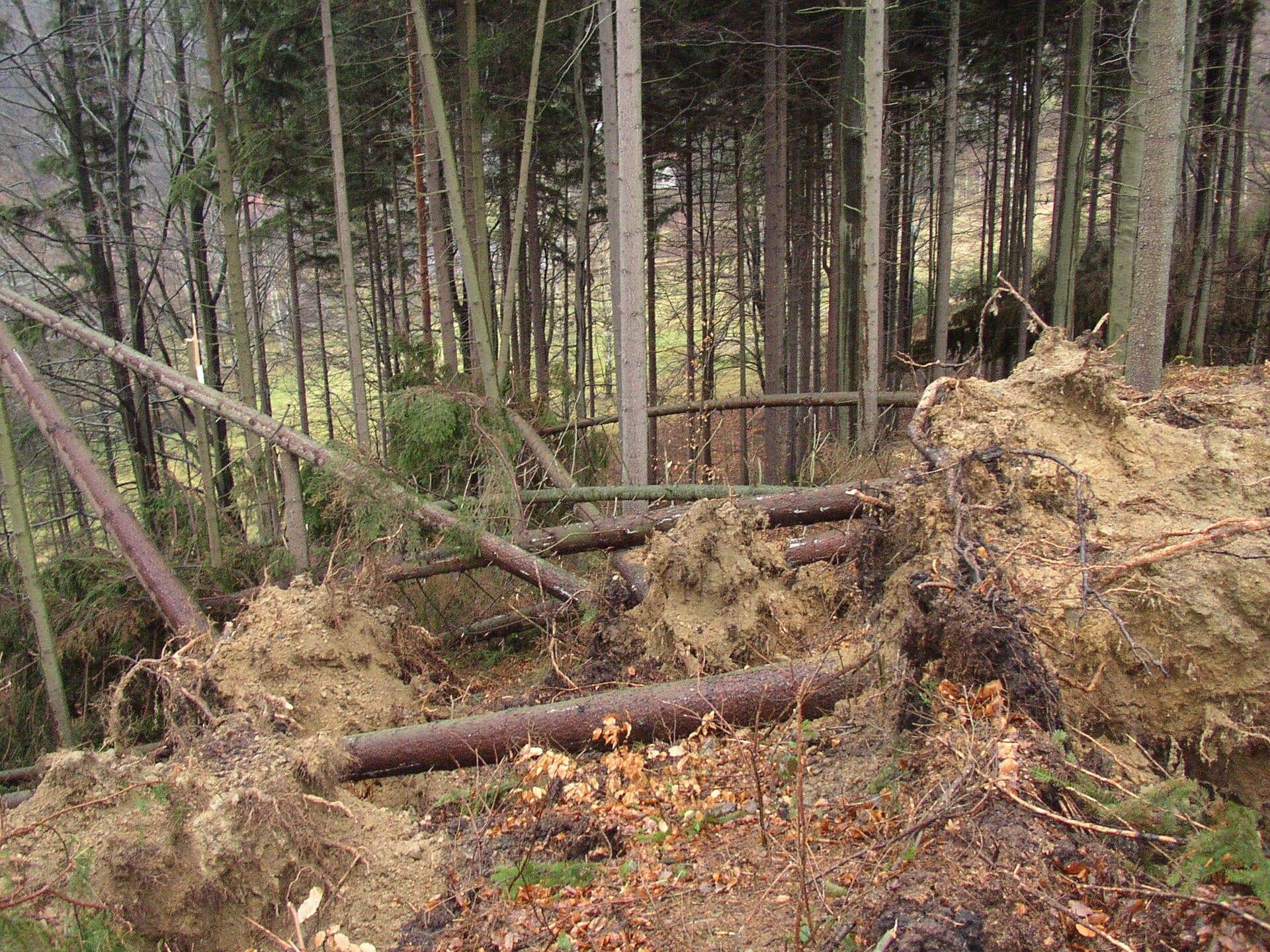
Mapping Vaia windthrow when salvage was a race against the timber's own value
The Vaia storm flattened 42,525 hectares of Alpine forest and collapsed the roundwood market. Salvage depended on reaching the right stands first, and the emergency mapping activation covered under a tenth of the damage.
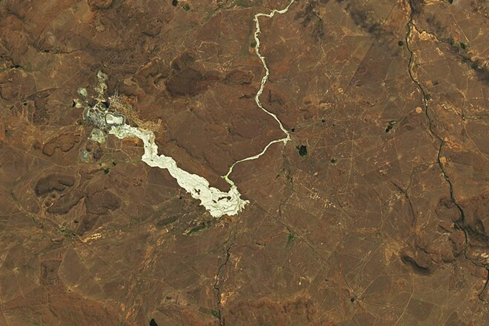
Mapping the Jagersfontein tailings flow five days after the dam broke
A diamond mine tailings dam failed in the Free State and buried working farmland. Three years on, no footprint of it had been published, and the two area figures in the literature disagree by a factor of 1.6. We mapped it from five archive passes.
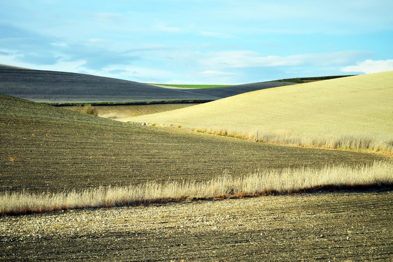
Measuring the 2022 Po drought against Italy's own rice loss survey
In July 2022 the Po fell to an eighth of its normal flow. We measured the collapse across the Lomellina rice district at the threshold Italy's rice authority uses, and put the result beside the hectares they published.
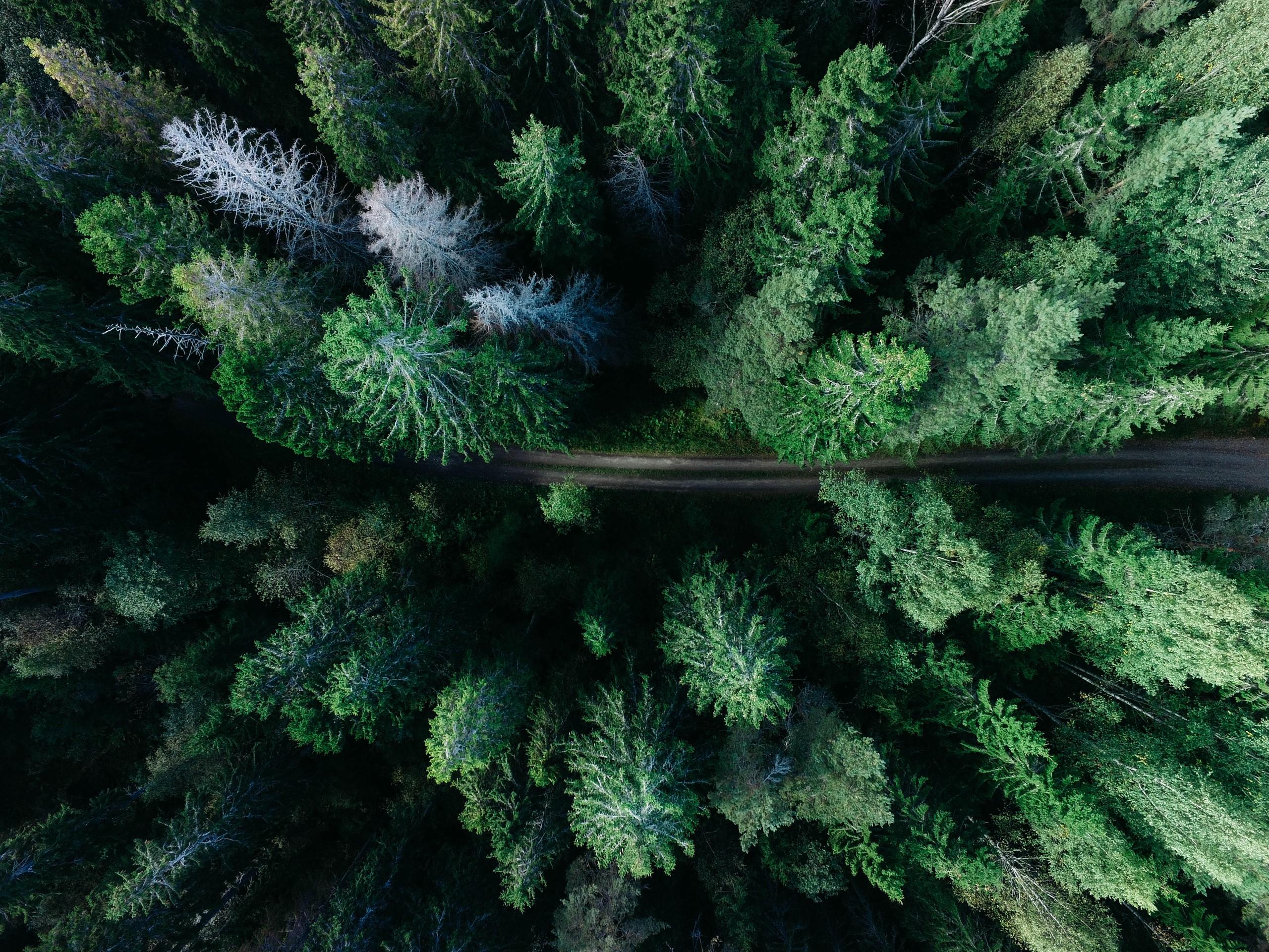
Plantation Evidence Under EUDR
A mature plantation reads as forest in every global layer, and its ordinary life sets off the alerts a deforestation regulation depends on. This paper sets out what plot level satellite evidence can settle, and what it cannot.
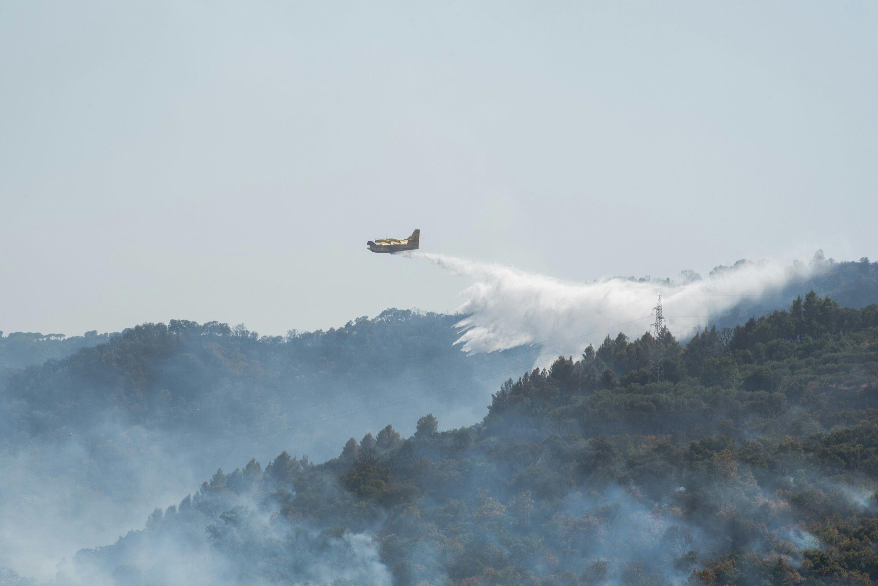
Two Kabylie fires, two years apart, sharing only 334 hectares
Kabylie burned catastrophically in 2021 and again in 2023. Both fires were mapped and neither was followed. Eight archive scenes put the two burns at 19,106 and 18,853 hectares, their overlap at 334, and the first scar back to indistinguishable from unburned forest in four summers.
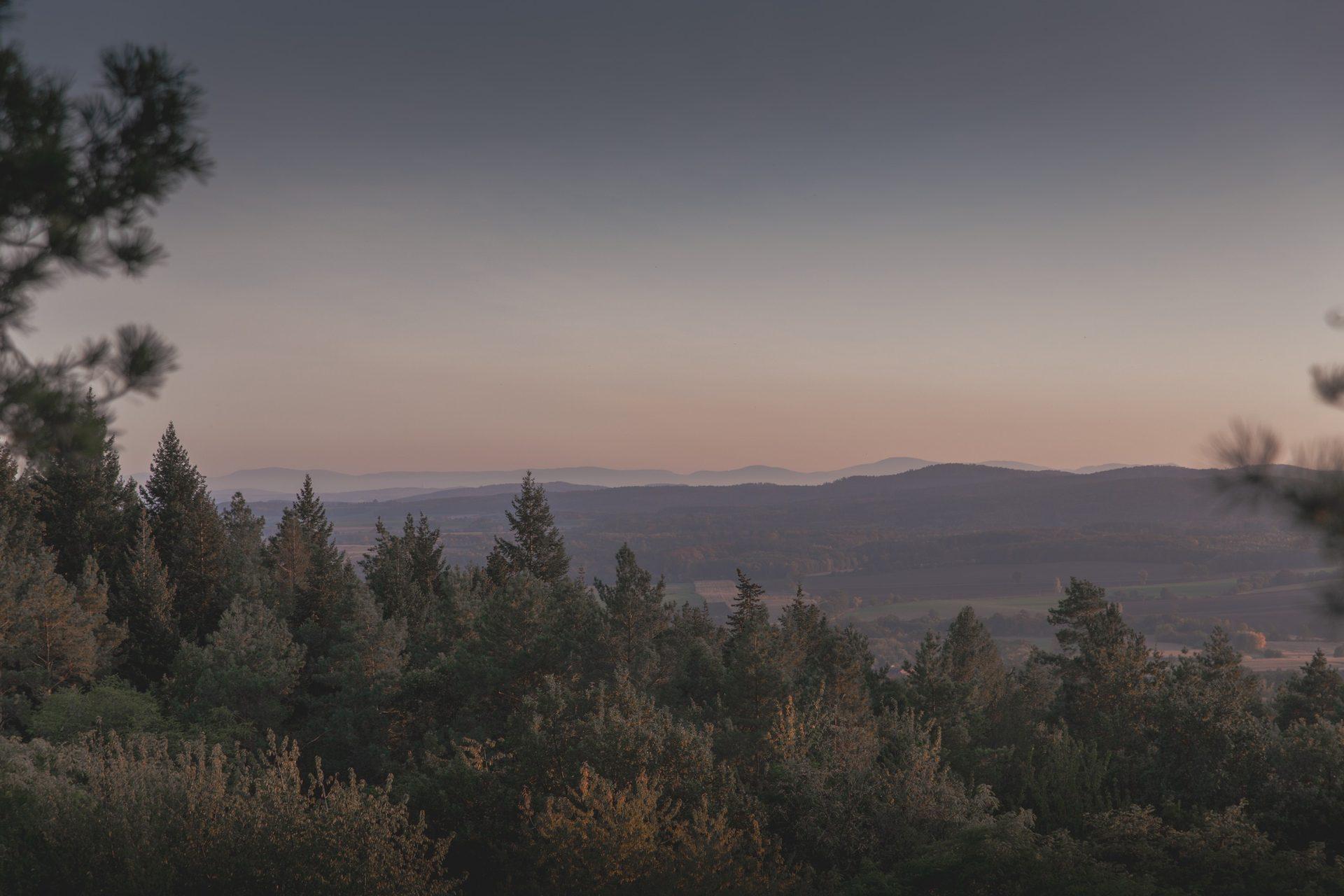
Mapping the Jasper burn scar to within 6.5% of the national reference
The Jasper wildfire destroyed 358 buildings and cost $1.3 billion. No rapid mapping service was activated, satellite fire detection failed through smoke on the night the town burned, and the definitive burn map arrived fifteen months later.
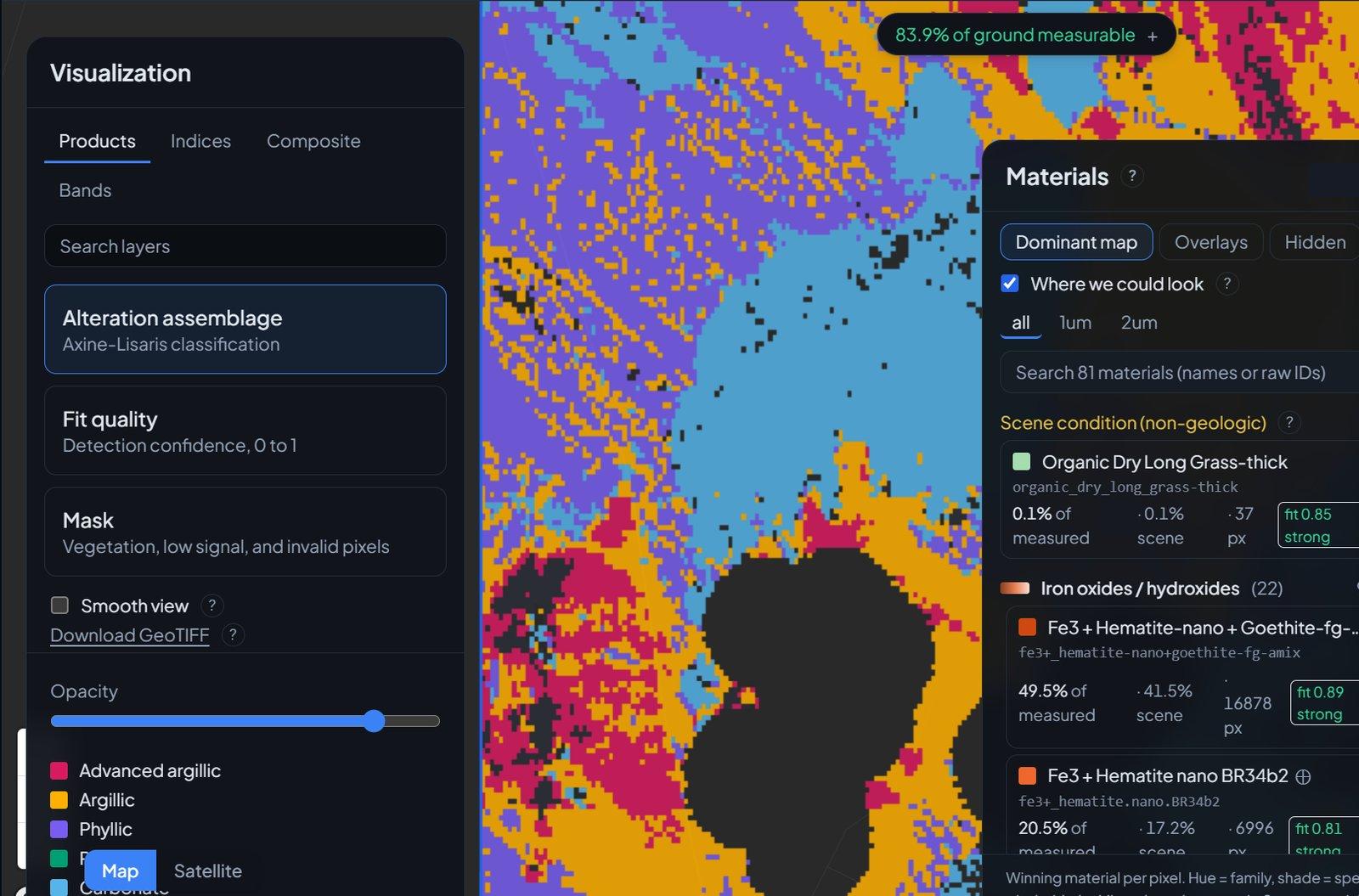
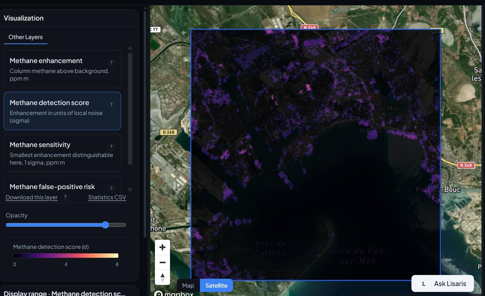
Explore Lisaris: satellite analytics across every industry
The full tour of Lisaris EO Studio: how a square on the map becomes finished mineral, methane, water and vegetation layers, what the workspace actually does, and what that changes for the people who use it.
Refusal over approximation
Why Lisaris declines to run an analysis the sensor cannot support, and why that discipline is the product.
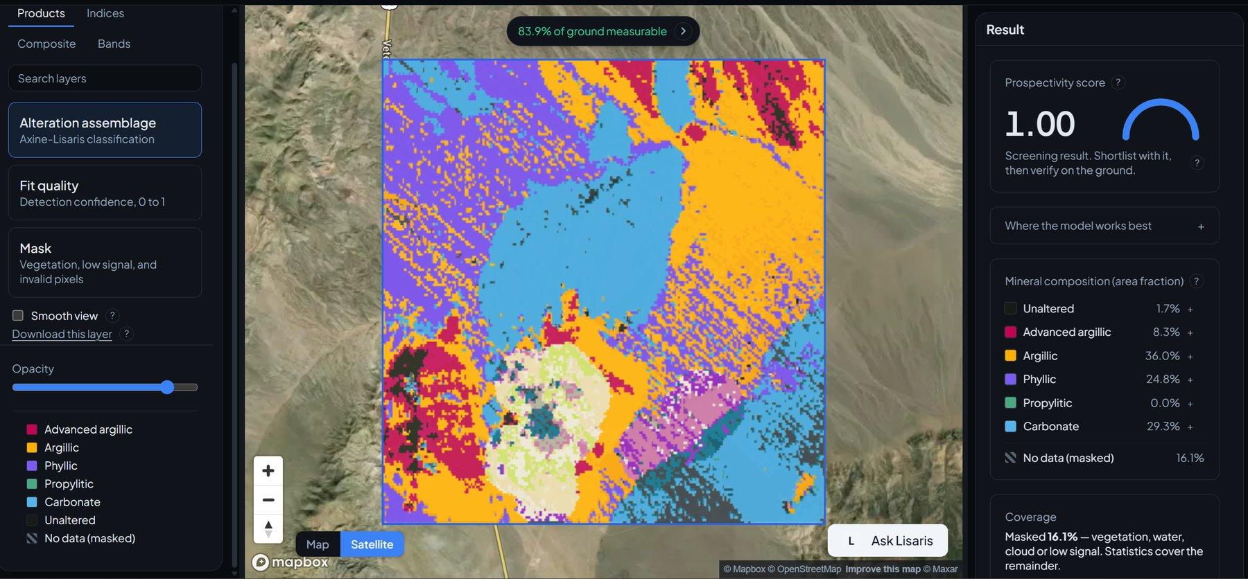
Case study: mapping alteration over a historic Nevada district
A full hyperspectral scene over the reference district for imaging spectroscopy, classified per pixel and checked against an independent expert system.
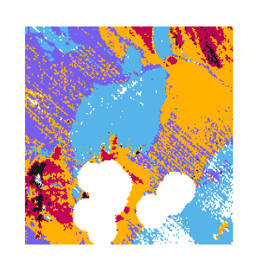
Lisaris EO Studio is live
Search open satellite archives, run analytics in place, and get results with provenance attached. Searching is free for everyone.
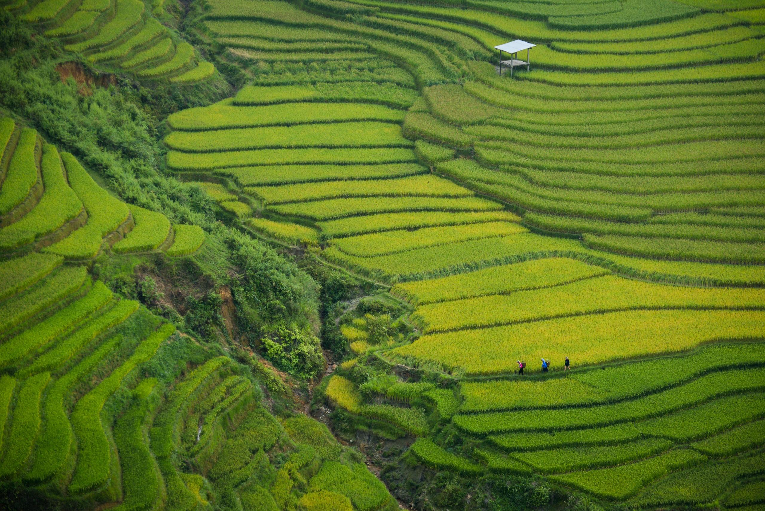
The Spectral Advantage in Agriculture
Orbital shortwave infrared characterisation of agricultural soils, extracting the Cellulose Absorption Index (CAI) for crop residue cover, clay mineral composition, and soil organic carbon (SOC) baseline proxies across bare soil windows..
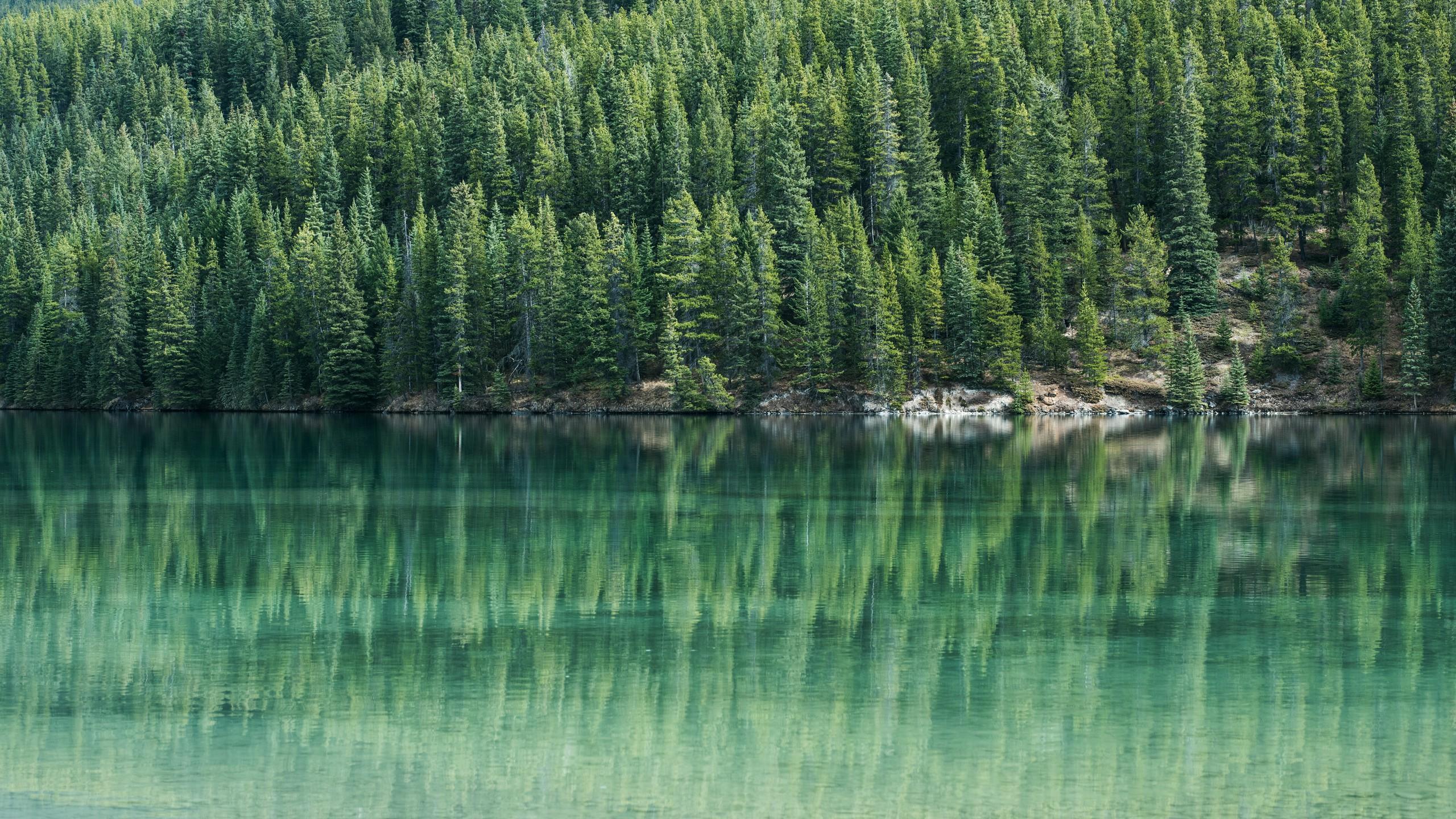
The Spectral Advantage in Forestry
Sub-pixel spectral unmixing and radiative transfer modeling of forest canopy biophysical variables, quantifying Equivalent Water Thickness (EWT), chlorophyll red-edge inflection shifts, and selective timber harvesting disturbance..
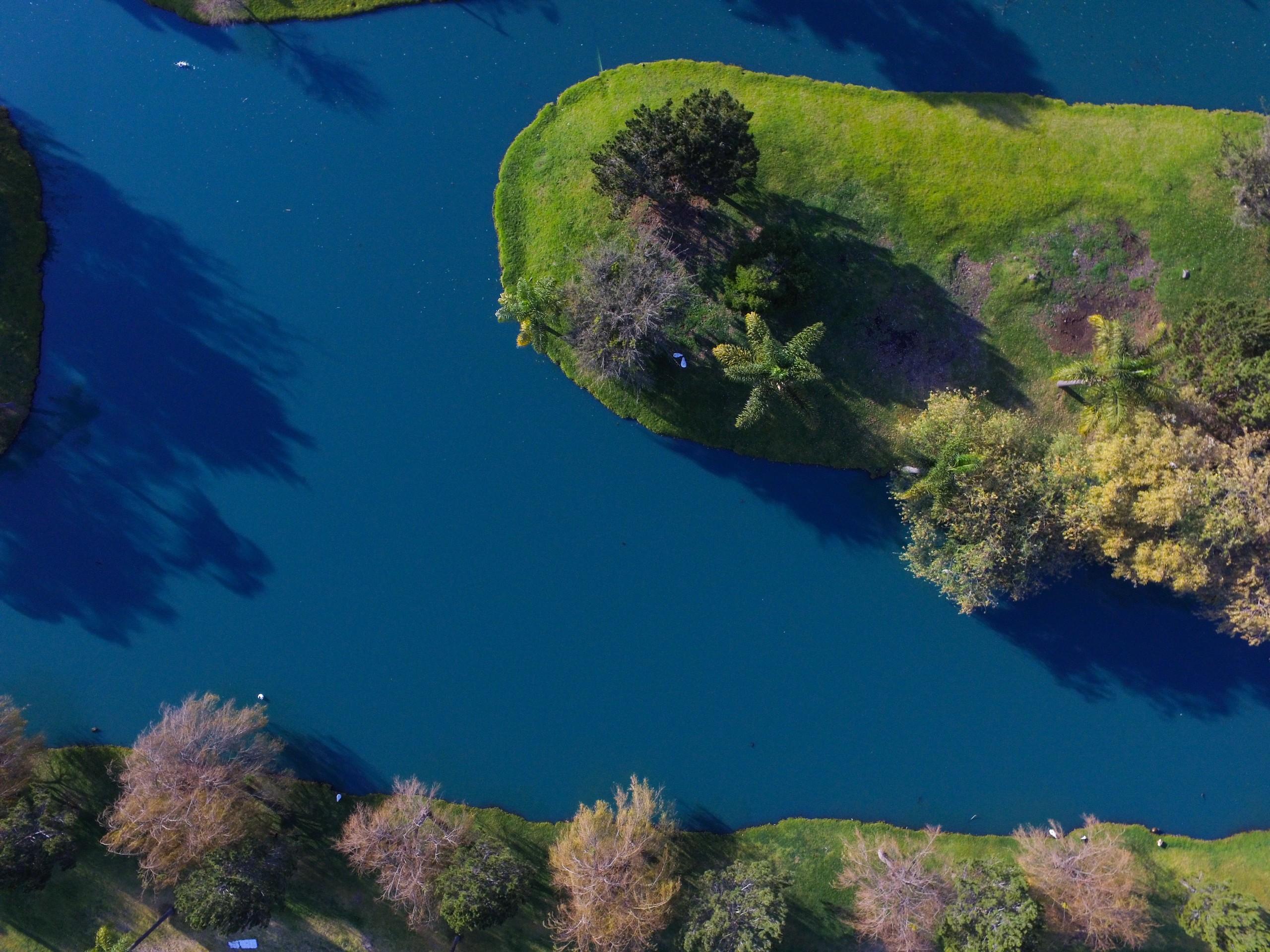
The Spectral Advantage in Water Quality
Quantitative bio-optical inversion for inland water monitoring, resolving phycocyanin absorption features (620 nm), chlorophyll-a absorption (665 nm), and total suspended matter scattering across complex Case-2 inland water bodies..
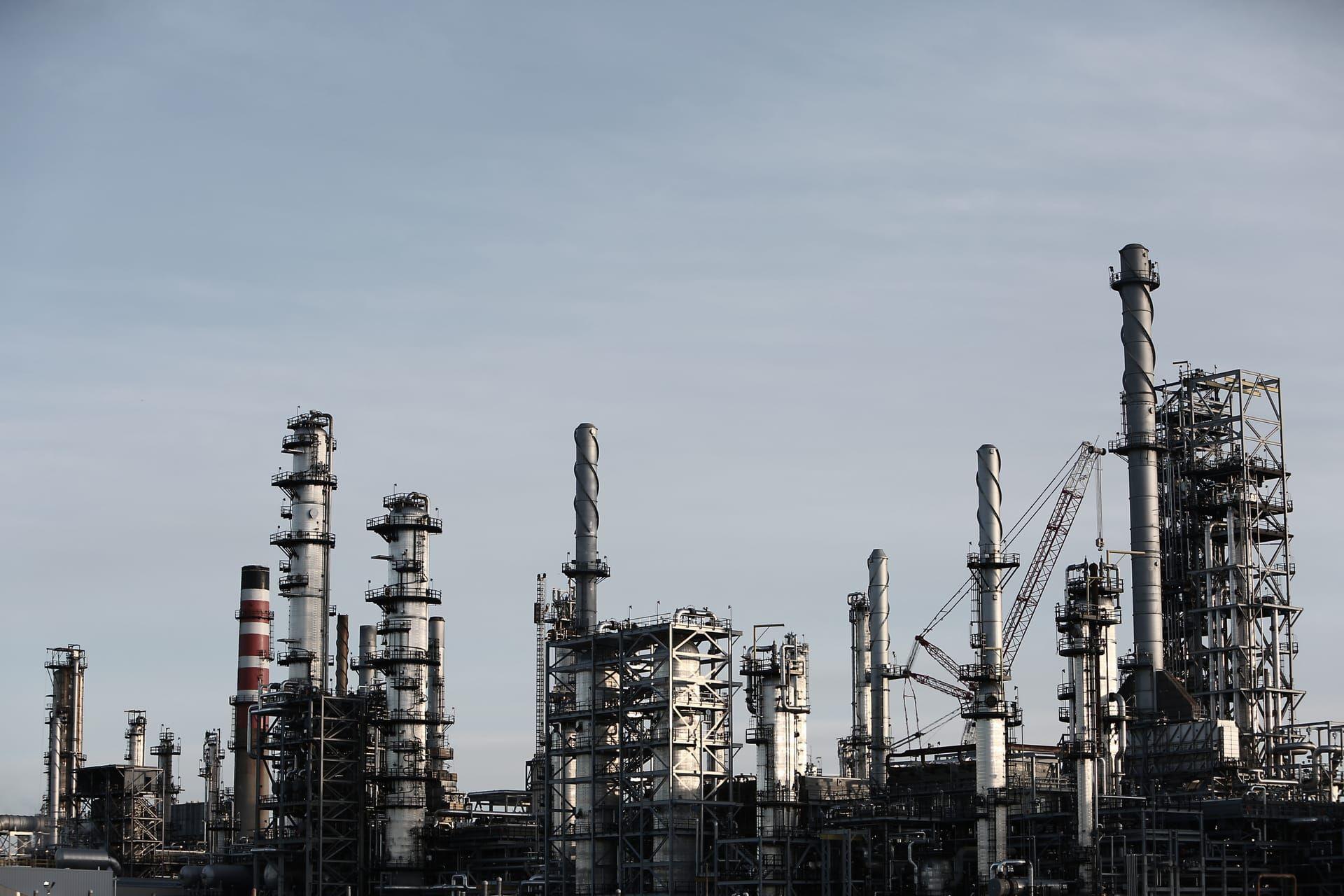
The Spectral Advantage in Energy
Applied orbital spectroscopy for geothermal alteration cap mapping, microseepage identification, and pipeline corridor terrain stability.
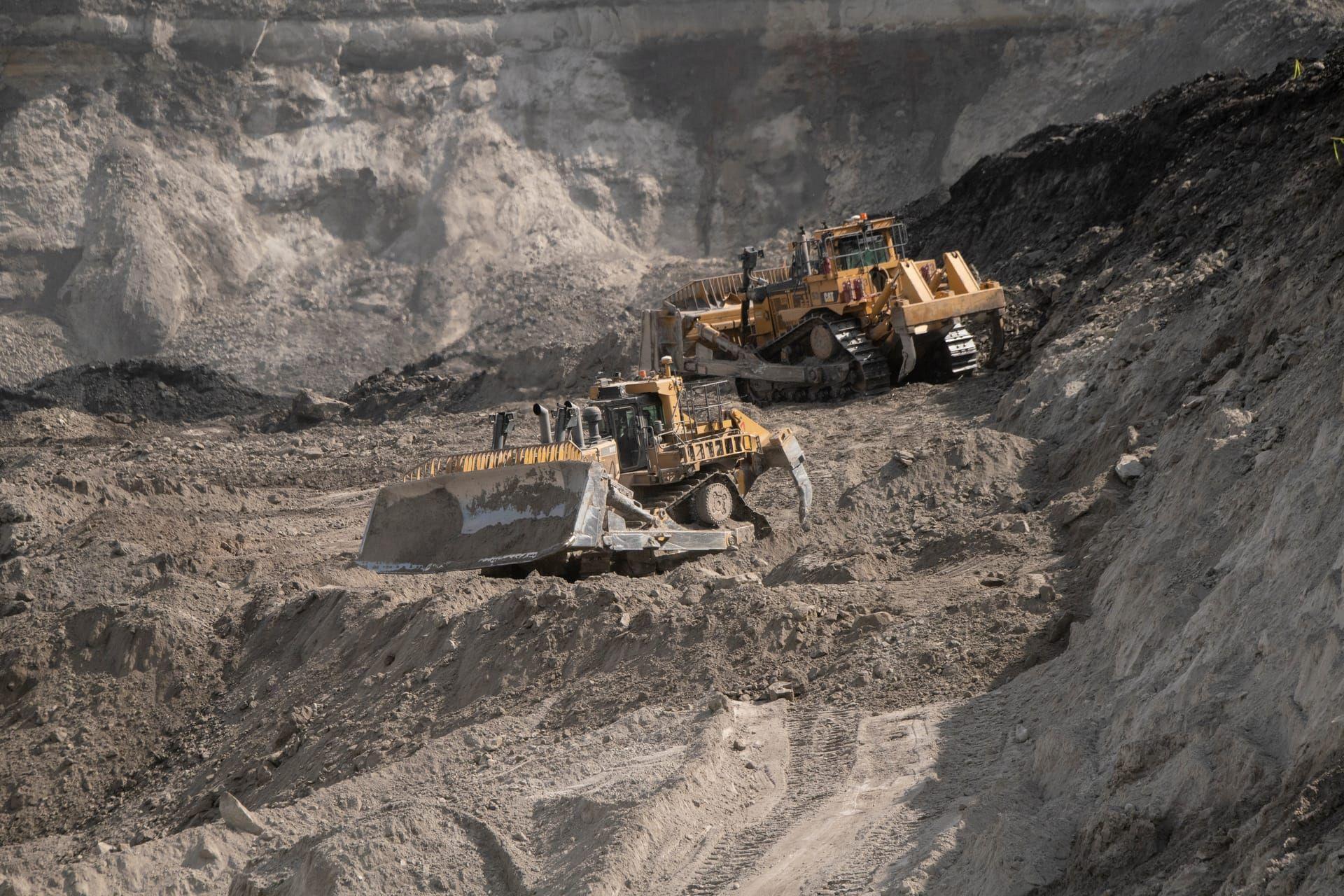
The Spectral Advantage in Mineral Exploration
This paper establishes the rigorous mathematical foundation for orbital continuum removal and non-negative least squares library unmixing against a public laboratory spectral library.