
Severidade de Queima e Recuperação Pós-Incêndio
Severidade de queima entre datas pareadas, com carvão, cinza, solo e cobertura verde separados por baixo, mais a recuperação em datas posteriores.
Severidade de queima entre datas pareadas, com carvão e cinza desmisturados para que um pixel parcialmente queimado seja lido como parcialmente queimado.
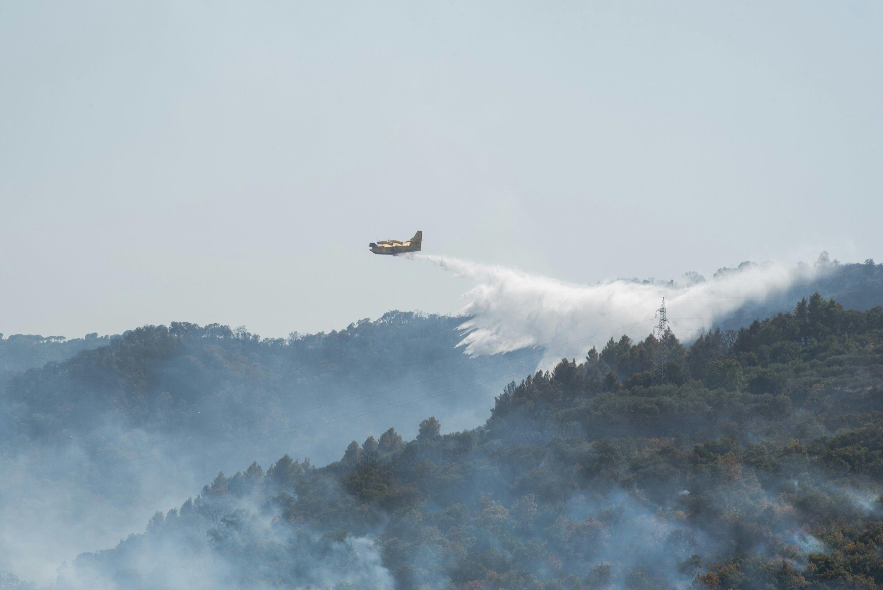
Differenced normalised burn ratio between a pre-fire and a post-fire scene, with the recovery series alongside.
O QUE ELA ENCONTRA
O que ela detecta.
| Material | Contexto típico | O que pode confundi-la |
|---|---|---|
| Wildfire Burn Severity | Post-fire forest landscapes, chaparral, and savannahs | Pre-existing drought stress and agricultural harvesting |
MÉTODO
Como funciona.
Entra reflectância calibrada, e cada pixel é ajustado contra uma biblioteca pública de referência.
Pairing the two dates
The pre-fire and post-fire scenes are placed on a common grid. Pairing across different sensors is refused, and so is pairing results that came from different engines, because the difference would be measuring the method rather than the ground.
Burn ratio, absolute and relative
Computes the standard differenced burn ratio and the relativised version, which matters where pre-fire cover was already sparse.
Char, ash, soil and green fractions
Burned pixels are decomposed into fractions rather than assigned a single label, so a partially burned pixel reads as partially burned.
Severity classes
The landscape is binned into unburned, low, moderate and high severity using published thresholds. A difference that comes out entirely empty raises an error instead of reporting that nothing changed.
ESPECIFICAÇÕES
O que você recebe, e sobre o que ela roda.
Condições de que precisa
Method and checks are documented in Axine Applied Spectroscopy Paper #4 · Section 5.3.
Escopo
Timing decides the answer, so the interval between the fire and the scene is reported with the layer.
EXECUTE SOBRE O SEU TERRENO
Execute esta camada sobre a sua própria área.
Solicite processamento sobre a sua área de interesse, ou uma captura programada onde o acervo não tiver nada utilizável. O acesso às imagens de satélite nunca é cobrado: um plano compra os modelos.
ANALÍTICAS COMPLEMENTARES
Camadas relacionadas.
Triagem de Estresse do Dossel
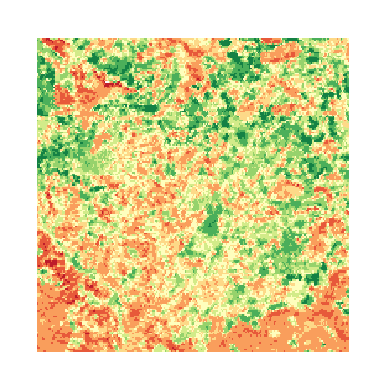
Conteúdo de água foliar, medido contra uma linha de base de matéria seca e comparado entre aquisições.
Clorofila do Dossel e Borda Vermelha
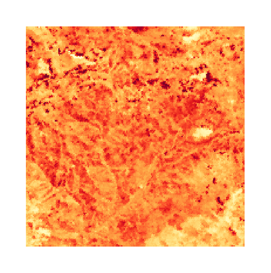
Posição da borda vermelha, que acompanha o pigmento do dossel. Recusada em sensores que não conseguem resolvê-la.
Auditoria de Corte Seletivo
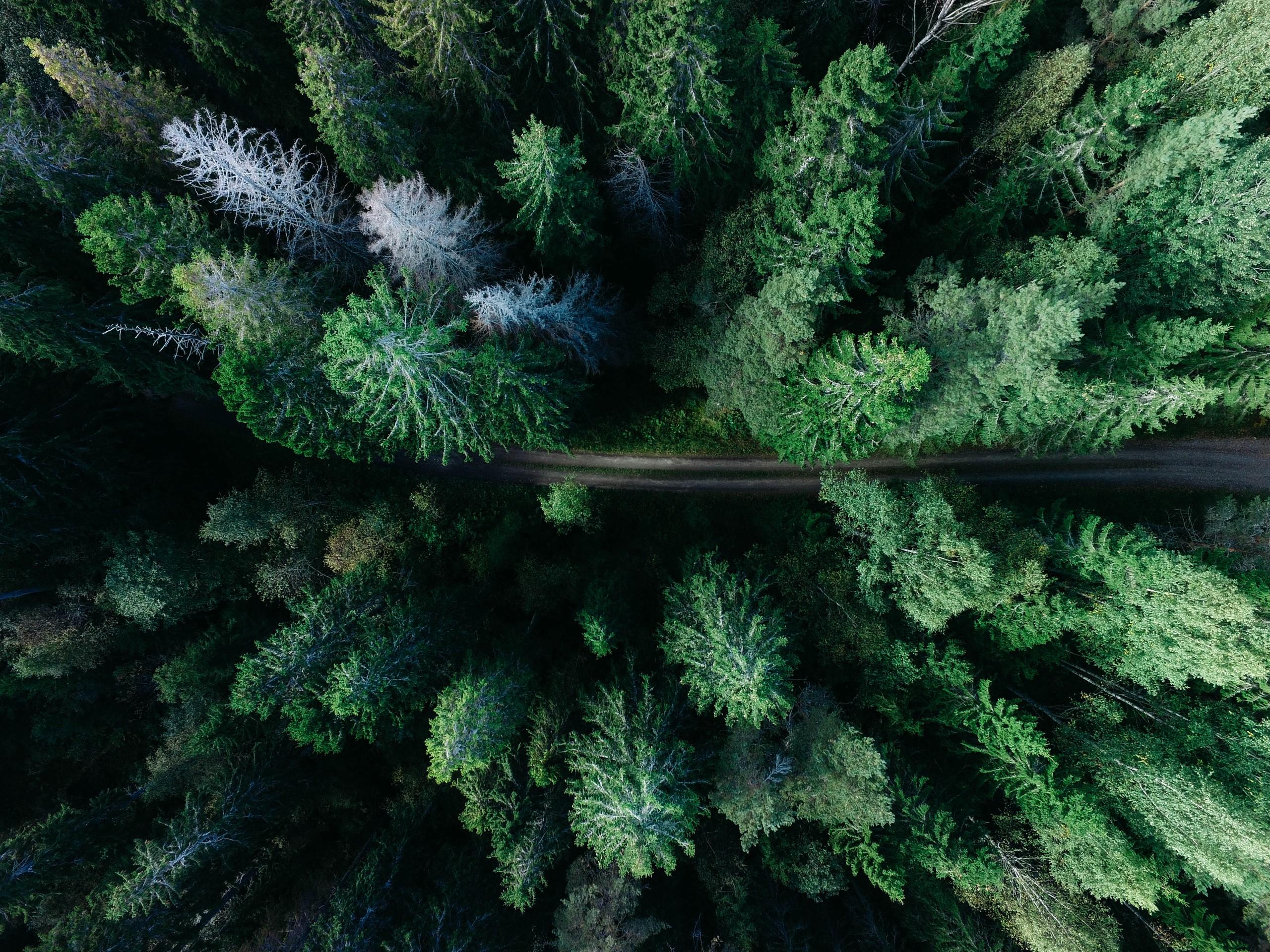
Desmistura subpixel para trilhas de arraste, perturbação de clareiras no dossel e conformidade de colheita sobre uma concessão.