
Proxy de Carbono Orgânico do Solo
Um índice relativo de matéria orgânica sobre composições de solo exposto, feito para dizer onde amostrar.
Cada pixel é composto para o momento em que esteve mais exposto e então classificado por matéria orgânica. Nenhum teor de carbono é reportado.
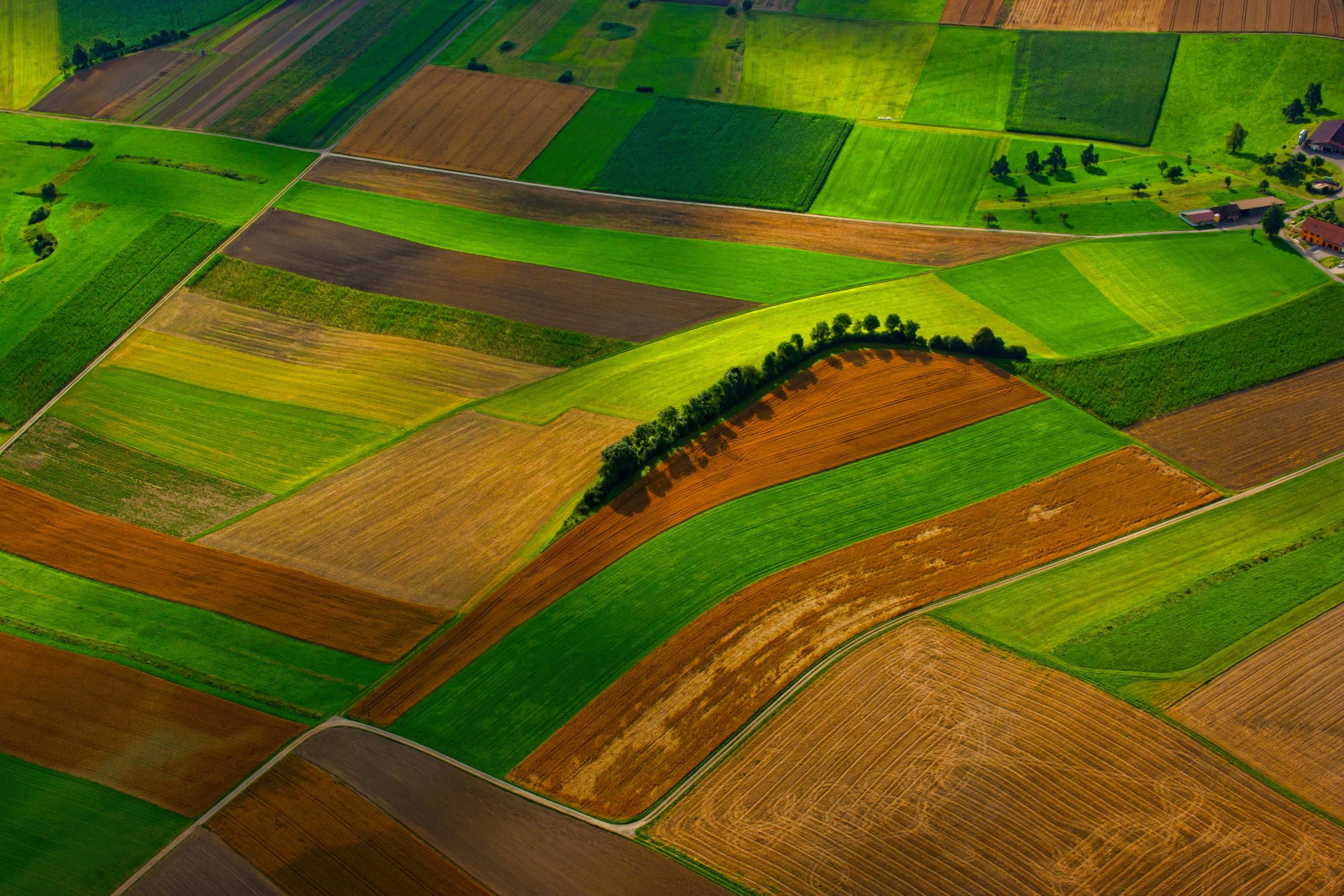
Cropland at scale. The proxy tracks the darkening that follows organic matter.
O QUE ELA ENCONTRA
O que ela detecta.
| Material | Contexto típico | O que pode confundi-la |
|---|---|---|
| Topsoil organic matter, relative index | Cropland, grassland and rangeland topsoil, the top few centimetres only | Surface moisture darkens soil the same way organic matter does; roughness and shadow do too |
MÉTODO
Como funciona.
Entra reflectância calibrada, e cada pixel é ajustado contra uma biblioteca pública de referência.
Bare-soil compositing
A multi-year series is filtered down to the moments when each pixel was most exposed, and those moments are composited. Cloud-free compositing over a date range is a shipping capability.
Moisture and roughness caution
Wet soil is darker than dry soil of the same composition, and rough soil is darker than smooth. Both effects sit on top of the one being measured, and neither is fully removed by the soil line correction applied here.
Regression onto laboratory libraries (not built)
Turning reflectance into a carbon figure means fitting against a laboratory soil library and validating that fit region by region. That work is on the roadmap, and until it lands the output stays a relative index.
Relative index output
What ships is a ranking within a field or a run of fields on the same composite, useful for deciding where to sample.
ESPECIFICAÇÕES
O que você recebe, e sobre o que ela roda.
Condições de que precisa
Method and checks are documented in Axine Applied Spectroscopy Paper #5 · Section 4.2.
Escopo
A relative ranking that tells you where to sample. No carbon content is reported.
EXECUTE SOBRE O SEU TERRENO
Execute esta camada sobre a sua própria área.
Solicite processamento sobre a sua área de interesse, ou uma captura programada onde o acervo não tiver nada utilizável. O acesso às imagens de satélite nunca é cobrado: um plano compra os modelos.
ANALÍTICAS COMPLEMENTARES
Camadas relacionadas.
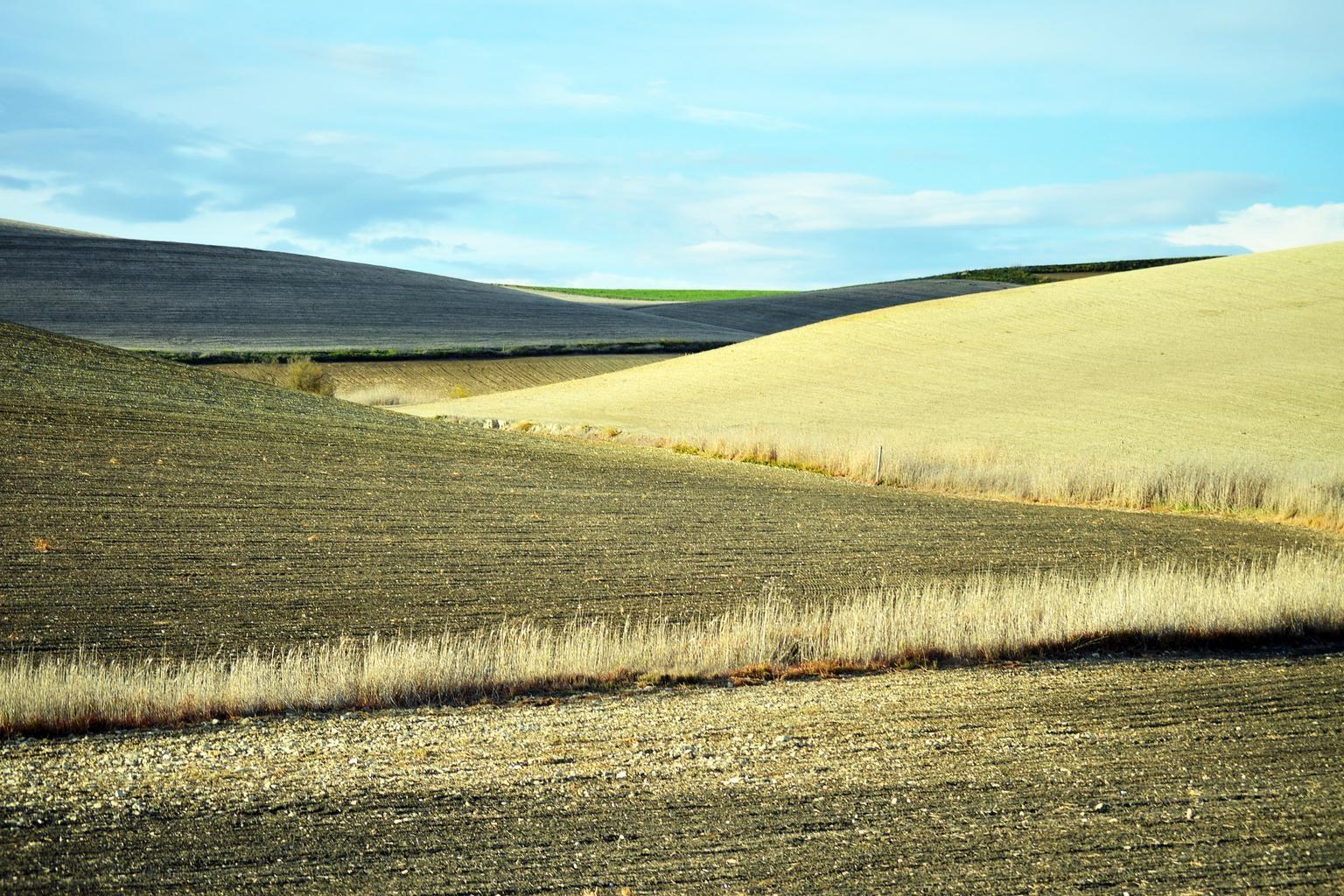
Exposição do Solo e Resíduos de Cultura
Cobertura de resíduos de cultura e argila superficial, para classes de resíduo e de preparo do solo.
Índice de Argila Superficial e Salinidade
Leituras de gipsita e argila em solo exposto. O sal em si é invisível ao sensor, então a salinidade só é inferida a partir do que a acompanha.
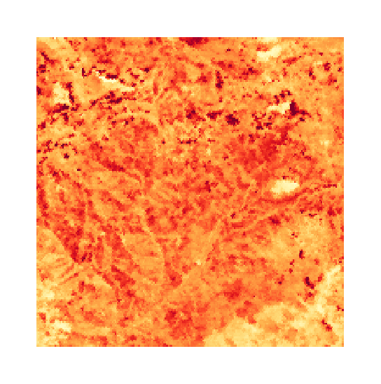
Clorofila do Dossel e Borda Vermelha
Posição da borda vermelha, que acompanha o pigmento do dossel. Recusada em sensores que não conseguem resolvê-la.