
Infrastructure Thermal Inertia
Apparent thermal inertia from a day and night pair: dense material against loose fill.
Day and night thermal differencing, normalised by albedo. Dense material gives up heat more slowly than loose fill.
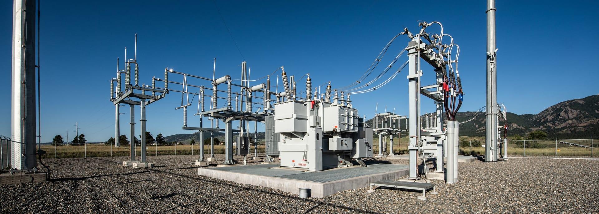
Apparent thermal inertia from a day and night pair: dense material cools slowly, loose fill cools fast.
WHAT IT FINDS
What it detects.
| Material | Typical setting | What can confuse it |
|---|---|---|
| Apparent Thermal Inertia (ATI) Anomalies | Civil infrastructure corridors, foundation pads, runway subgrades, and shallow buried utilities | Surface wind gusts altering convective heat transfer |
METHOD
How it works.
Calibrated reflectance goes in, and every pixel is fitted against a public reference library.
Pairing a day and a night pass
The midday and pre-dawn acquisitions are placed on a common grid. Both must cover the same ground inside one diurnal cycle, which is the constraint that makes this hard to procure rather than hard to compute.
Broadband albedo
Optical bands are integrated into a broadband albedo, which sets how much solar energy the surface took in during the day.
Apparent thermal inertia
ATI = (1 - α) / (T_day - T_night). The word apparent is load-bearing: this is a proxy for heat capacity and conductivity, not a measurement of either.
Segmentation into high and low inertia
Dense material separates from loose fill. What causes the contrast is an interpretation the map cannot make for you.
SPECIFICATIONS
What you get, and what it runs on.
Conditions it needs
Method and checks are documented in Axine Applied Spectroscopy Technical Whitepaper · Series 5.
Scope
Both passes have to be cloud-free and calm. Wind at night masks the signal this depends on.
RUN IT OVER YOUR GROUND
Run this layer over your own area.
Order processing over your area of interest, or a tasked capture where the archive has nothing usable. Imagery access is never charged for: a plan buys the models.
COMPLEMENTARY ANALYTICS
Related layers.
Sub-Pixel Target Anomaly Detection
Anomaly detection against a locally estimated background, for man-made materials smaller than a pixel.
Pipeline Corridor Terrain Stability
Tracks swelling clays and moisture along a corridor, so crews go where the ground actually moved.
Mine Footprint & Disturbance
Multi-temporal surface disturbance, tailings boundaries and waste rock footprints, measured between dates.