
Huella Minera y Perturbación
Tajos abiertos, botaderos de roca estéril y límites de relaves, seguidos entre fechas sobre una malla común.
Perturbación superficial multitemporal, límites de relaves y huellas de botaderos, medidos entre fechas.
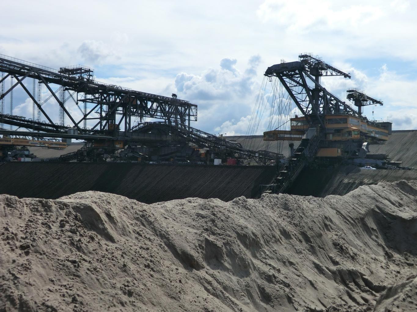
Open-cast workings. Footprint boundaries are differenced between dates.
QUÉ ENCUENTRA
Qué detecta.
| Material | Entorno típico | Qué puede confundirlo |
|---|---|---|
| Mining Surface Disturbance Footprint | Open-pit and underground mine sites globally | Natural seasonal vegetation dieback in surrounding wildlands |
MÉTODO
Cómo funciona.
Entra reflectancia calibrada, y cada píxel se ajusta contra una biblioteca pública de referencia.
Pairing the two dates
Both scenes are placed on a common grid. Differencing across sensors is refused, and so is differencing a result from one engine against a result from another.
Differencing with the offset exposed
Raw differencing on layers that carry an absolute scale on both dates. The scene-wide median offset is shown and can be removed, so a seasonal brightness shift is visible as such rather than mistaken for new ground.
Segmentation into facility classes
Disturbance is split into pit, waste rock, ponds and infrastructure by shape and spectrum together.
Overlay against the permitted boundary
Polygons are intersected with the boundary you supply and reported inside and outside, in km² to one decimal. An all-empty difference raises rather than reporting that nothing changed.
ESPECIFICACIONES
Qué obtiene, y sobre qué corre.
Condiciones que necesita
Method and checks are documented in Axine Applied Spectroscopy Paper #1 · Section 10.2.
Alcance
Surface disturbance only. Underground workings and wall stability sit outside what it reaches.
EJECÚTELO SOBRE SU TERRENO
Ejecute esta capa sobre su propia área.
Ordene procesamiento sobre su área de interés, o una captura programada donde el archivo no tenga nada utilizable. El acceso a las imágenes nunca se cobra: un plan compra los modelos.
ANALÍTICA COMPLEMENTARIA
Capas relacionadas.
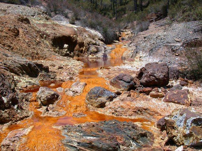
Detección de Drenaje Ácido
Cribado de recubrimientos de precipitados a lo largo de canales de descarga, con un piso férrico condicionando la lectura.
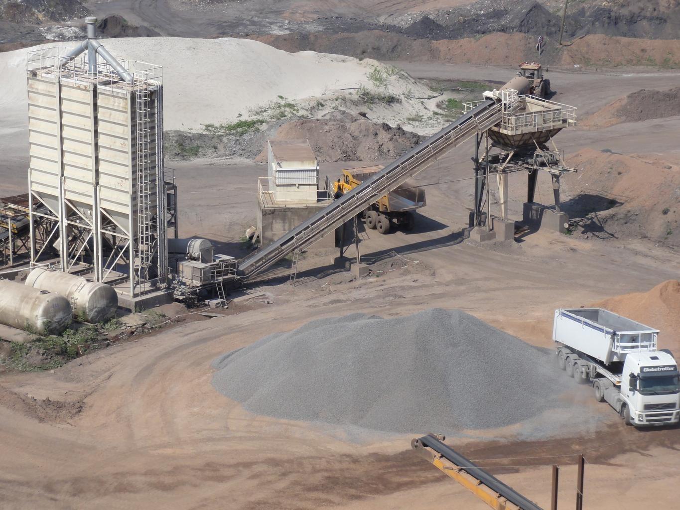
Estabilidad y Filtraciones de Presas de Relaves
Monitorea humedad y meteorización de sulfato en caras expuestas del terraplén, diferenciadas entre fechas.
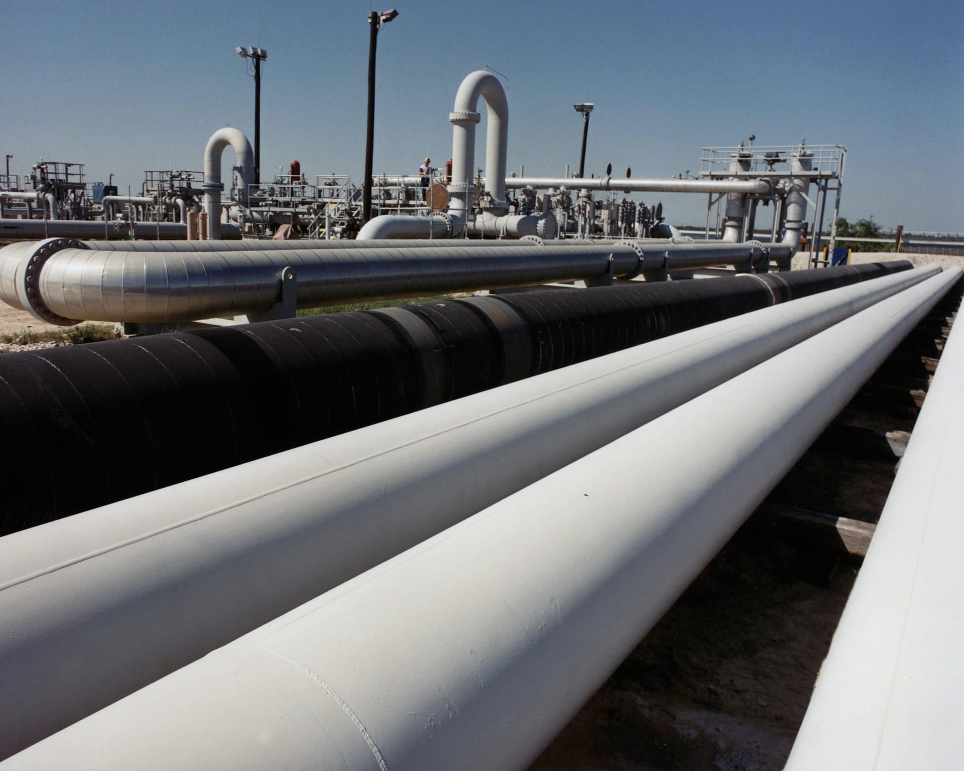
Estabilidad del Terreno en Corredores de Ductos
Sigue arcillas expansivas y humedad a lo largo de un corredor, para que las cuadrillas vayan adonde el terreno realmente se movió.