
Estabilidad del Terreno en Corredores de Ductos
Monitoreo del derecho de vía para esmectita expansiva y humedad superficial, diferenciado entre dos fechas sobre una malla común.
Sigue arcillas expansivas y humedad a lo largo de un corredor, para que las cuadrillas vayan adonde el terreno realmente se movió.
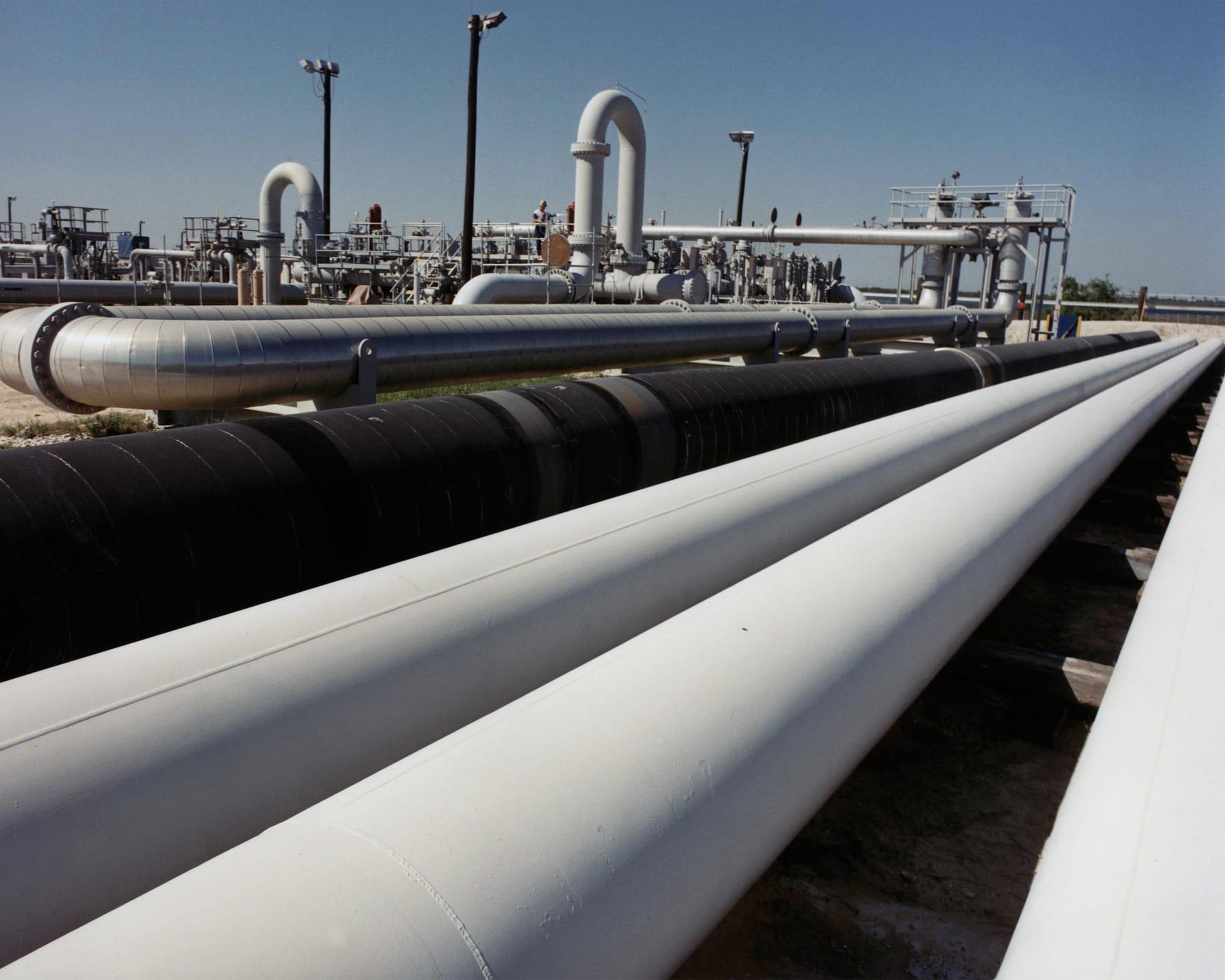
Right-of-way corridor: swelling smectite clay and surface moisture, differenced between two dates.
LO QUE VE EL SENSOR
Qué busca esta capa.
La referencia de laboratorio de cada material, y qué captura de ella el espaciado de bandas del sensor. La banda sombreada marca el rango que lee el método.
QUÉ ENCUENTRA
Qué detecta.
| Material | Entorno típico | Qué puede confundirlo |
|---|---|---|
| Expansive Smectite Clays (Montmorillonite) | Pipeline rights-of-way crossing unstable slopes and shale formations | Dense standing grass cover in corridor ditches |
MÉTODO
Cómo funciona.
Entra reflectancia calibrada, y cada píxel se ajusta contra una biblioteca pública de referencia.
Corridor masking
The pipeline centreline is buffered to the width you specify and everything outside it is dropped before any layer is computed.
Clay and moisture band depths
Continuum-removed depths for the expansive 2:1 clays and for surface water. These are exact arithmetic on reflectance, so the same scene returns the same numbers every time.
Slope and aspect context
Steepness and aspect are carried alongside the spectral layers so a wet clay reading on a steep face reads differently from the same reading on a flat one. They are shown together, not fused into a safety factor.
Change between dates
Two dates are differenced on the same grid, with the scene-wide median offset surfaced so a change in illumination is not read as a change in ground. Comparing across sensors or across engines is refused.
ESPECIFICACIONES
Qué obtiene, y sobre qué corre.
Condiciones que necesita
Method and checks are documented in Axine Applied Spectroscopy Paper #2 · Section 6.1.
Alcance
Reads the ground along the corridor, not the pipe. Wall condition is invisible to an optical sensor.
EJECÚTELO SOBRE SU TERRENO
Ejecute esta capa sobre su propia área.
Ordene procesamiento sobre su área de interés, o una captura programada donde el archivo no tenga nada utilizable. El acceso a las imágenes nunca se cobra: un plan compra los modelos.
ANALÍTICA COMPLEMENTARIA
Capas relacionadas.
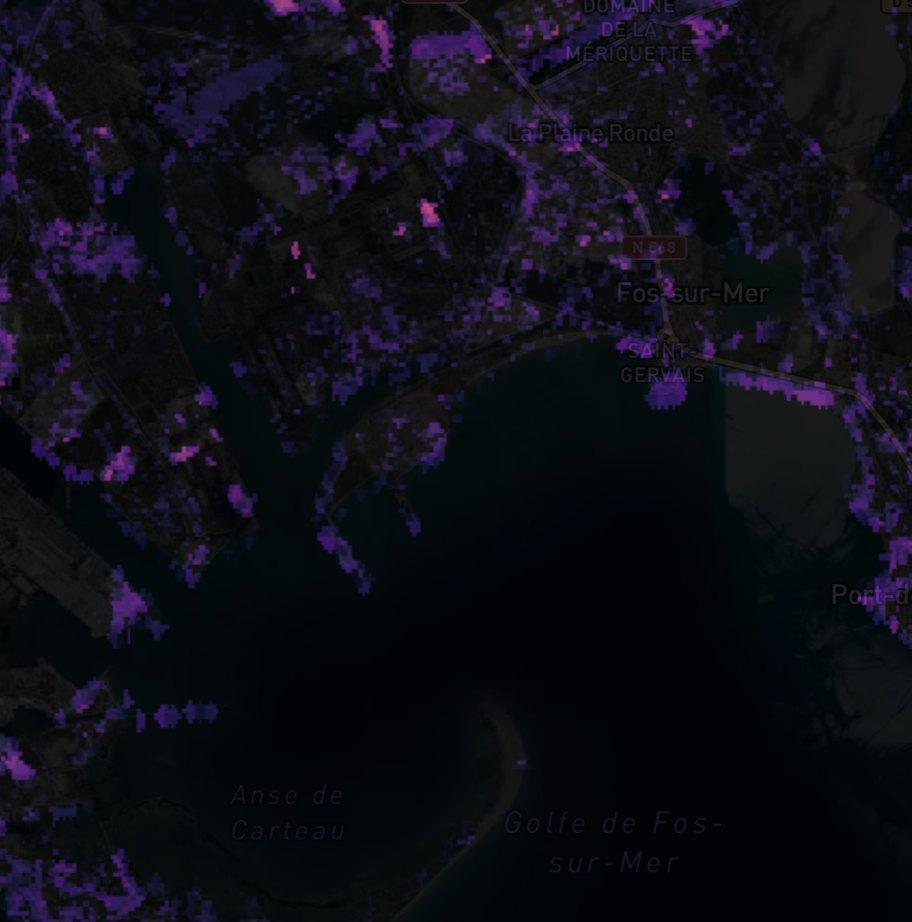
Detección de Plumas de Metano
Realce de columna sobre instalaciones de petróleo y gas. Los productos públicos de plumas revisados pasan con su procedencia, y nuestro propio filtro corre en paralelo como cribado.
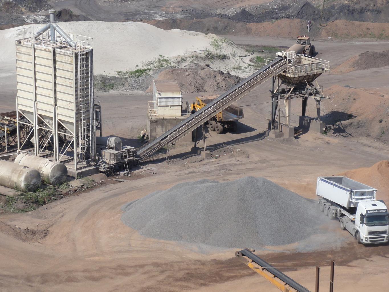
Estabilidad y Filtraciones de Presas de Relaves
Monitorea humedad y meteorización de sulfato en caras expuestas del terraplén, diferenciadas entre fechas.
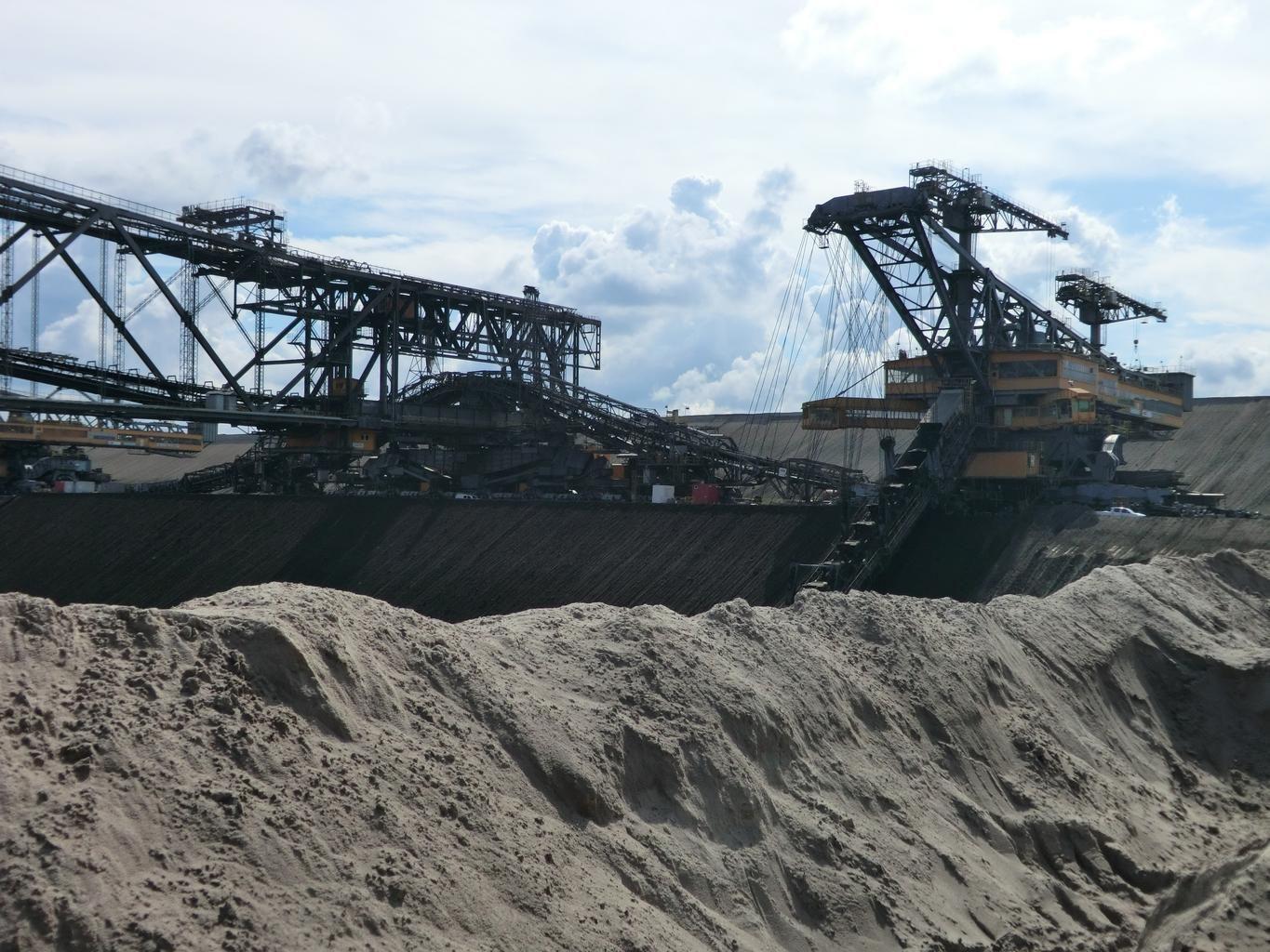
Huella Minera y Perturbación
Perturbación superficial multitemporal, límites de relaves y huellas de botaderos, medidos entre fechas.