
Tailings Dam Stability & Seepage
Embankment monitoring for surface moisture and sulfate efflorescence, differenced against a dry-date baseline.
Monitors moisture and sulfate weathering on exposed embankment faces, differenced across dates.
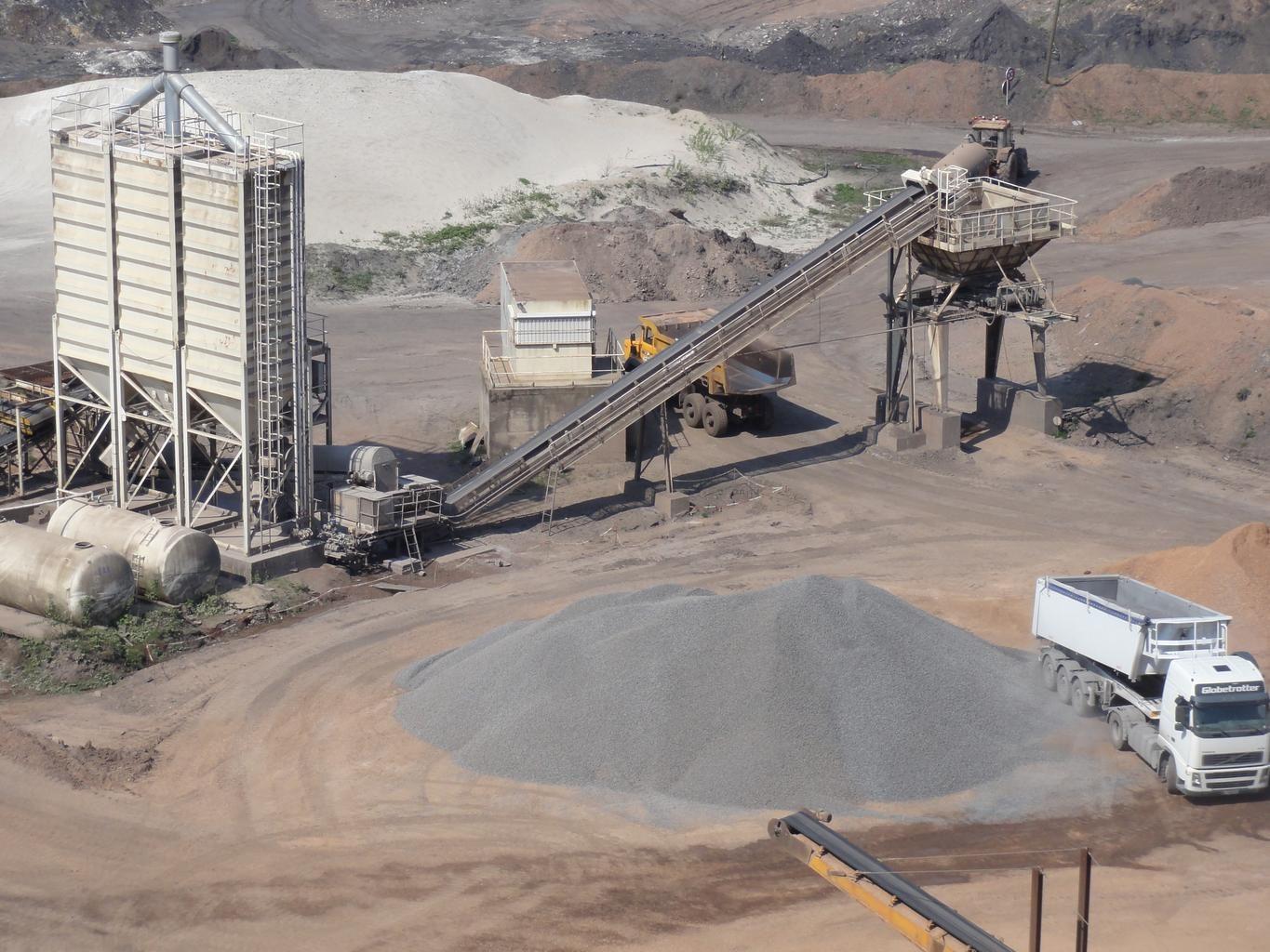
Mine spoil tips. The layer watches embankment faces for moisture change.
WHAT THE SENSOR SEES
What this layer looks for.
The laboratory reference for each material, and what the sensor's band spacing captures of it. The shaded band marks the range the method reads.
WHAT IT FINDS
What it detects.
| Material | Typical setting | What can confuse it |
|---|---|---|
| Moisture Seepage & Phreatic Line Emergence | Tailings storage facilities (TSF), dam downstream slopes, and buttress toes | Recent rainfall events (requires baseline temporal subtraction) |
METHOD
How it works.
Calibrated reflectance goes in, and every pixel is fitted against a public reference library.
Grid handling over steep ground
Imagery is reprojected onto a common grid rather than resampled, which matters on an embankment face where a small horizontal error moves a pixel a long way down the slope.
Surface moisture band depth
Water absorption depth, normalised by brightness. Which feature carries the measurement depends on what the sensor in front of it actually covers.
Difference against a dry baseline
A dry date is subtracted so uniform rainfall wetting cancels and only persistent wet ground remains. The scene-wide median offset is surfaced and can be removed.
Zones reported, not scored
Persistent wet zones are outlined and handed over with their coordinates. No stability score is computed, because a spectral reading of a surface cannot support one.
SPECIFICATIONS
What you get, and what it runs on.
Conditions it needs
Method and checks are documented in Axine Applied Spectroscopy Paper #3 · Section 7.1.
Scope
Reads the exposed face only. Pore pressure and the phreatic surface stay with your piezometers.
RUN IT OVER YOUR GROUND
Run this layer over your own area.
Order processing over your area of interest, or a tasked capture where the archive has nothing usable. Imagery access is never charged for: a plan buys the models.
COMPLEMENTARY ANALYTICS
Related layers.
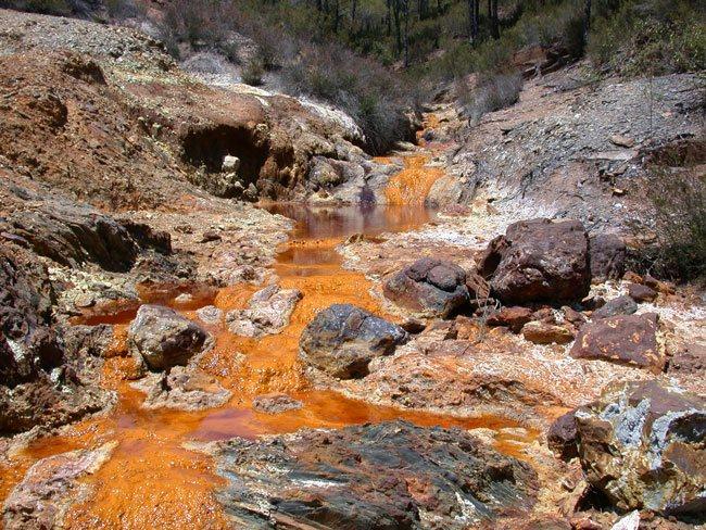
Acid Drainage Screening
Screening for precipitate coatings along discharge channels, with a ferric floor gating the read.
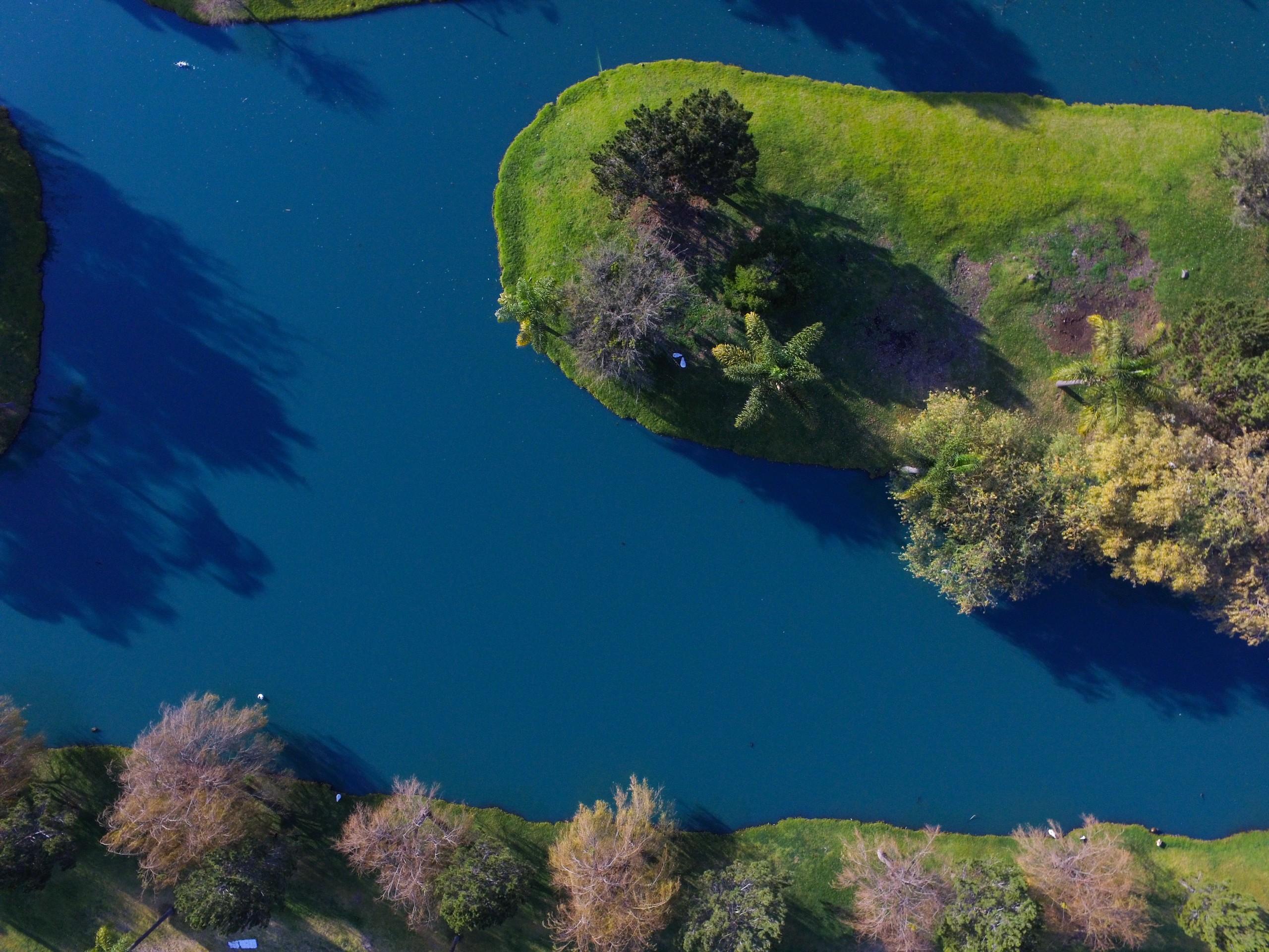
Surface Water Quality
Screening for pigment and turbidity over inland water, using published fits applied unchanged.
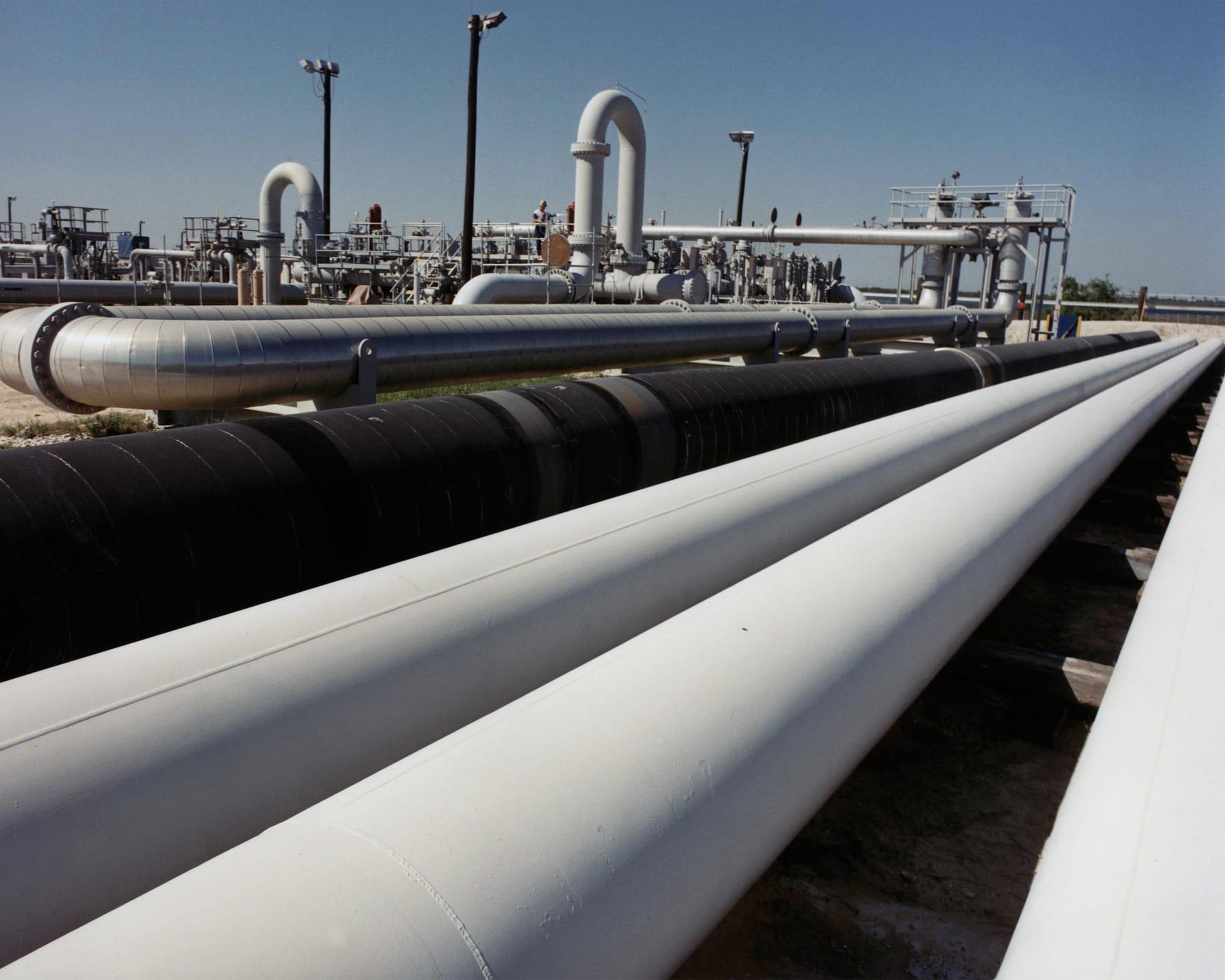
Pipeline Corridor Terrain Stability
Tracks swelling clays and moisture along a corridor, so crews go where the ground actually moved.