
Estabilidade do Terreno em Corredores de Dutos
Monitoramento de faixa de servidão para esmectita expansiva e umidade de superfície, diferenciadas entre duas datas em uma grade comum.
Acompanha argilas expansivas e umidade ao longo de um corredor, para que as equipes vão aonde o terreno realmente se moveu.
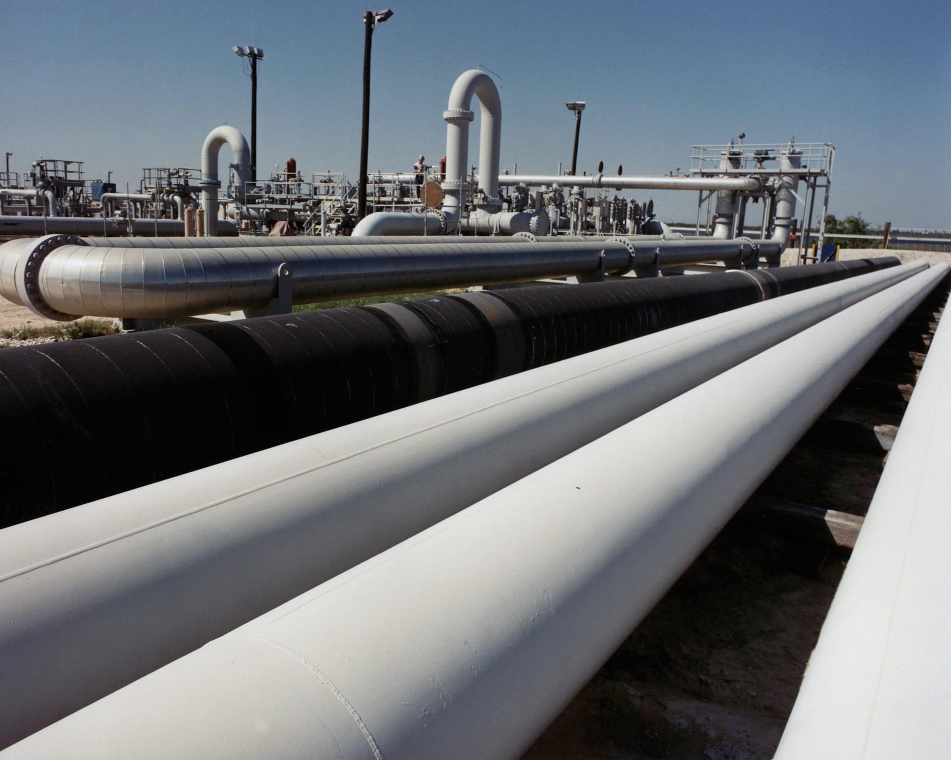
Right-of-way corridor: swelling smectite clay and surface moisture, differenced between two dates.
O QUE O SENSOR VÊ
O que esta camada procura.
A referência de laboratório de cada material, e o que o espaçamento de bandas do sensor captura dela. A faixa sombreada marca o intervalo que o método lê.
O QUE ELA ENCONTRA
O que ela detecta.
| Material | Contexto típico | O que pode confundi-la |
|---|---|---|
| Expansive Smectite Clays (Montmorillonite) | Pipeline rights-of-way crossing unstable slopes and shale formations | Dense standing grass cover in corridor ditches |
MÉTODO
Como funciona.
Entra reflectância calibrada, e cada pixel é ajustado contra uma biblioteca pública de referência.
Corridor masking
The pipeline centreline is buffered to the width you specify and everything outside it is dropped before any layer is computed.
Clay and moisture band depths
Continuum-removed depths for the expansive 2:1 clays and for surface water. These are exact arithmetic on reflectance, so the same scene returns the same numbers every time.
Slope and aspect context
Steepness and aspect are carried alongside the spectral layers so a wet clay reading on a steep face reads differently from the same reading on a flat one. They are shown together, not fused into a safety factor.
Change between dates
Two dates are differenced on the same grid, with the scene-wide median offset surfaced so a change in illumination is not read as a change in ground. Comparing across sensors or across engines is refused.
ESPECIFICAÇÕES
O que você recebe, e sobre o que ela roda.
Condições de que precisa
Method and checks are documented in Axine Applied Spectroscopy Paper #2 · Section 6.1.
Escopo
Reads the ground along the corridor, not the pipe. Wall condition is invisible to an optical sensor.
EXECUTE SOBRE O SEU TERRENO
Execute esta camada sobre a sua própria área.
Solicite processamento sobre a sua área de interesse, ou uma captura programada onde o acervo não tiver nada utilizável. O acesso às imagens de satélite nunca é cobrado: um plano compra os modelos.
ANALÍTICAS COMPLEMENTARES
Camadas relacionadas.
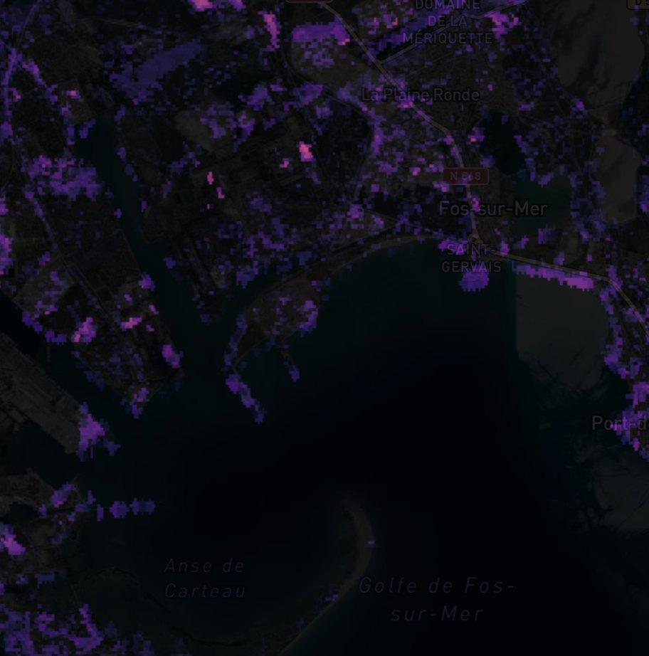
Detecção de Plumas de Metano
Realce de coluna sobre instalações de óleo e gás. Produtos públicos de plumas revisados passam adiante com sua proveniência, e nosso próprio filtro roda em paralelo como triagem.
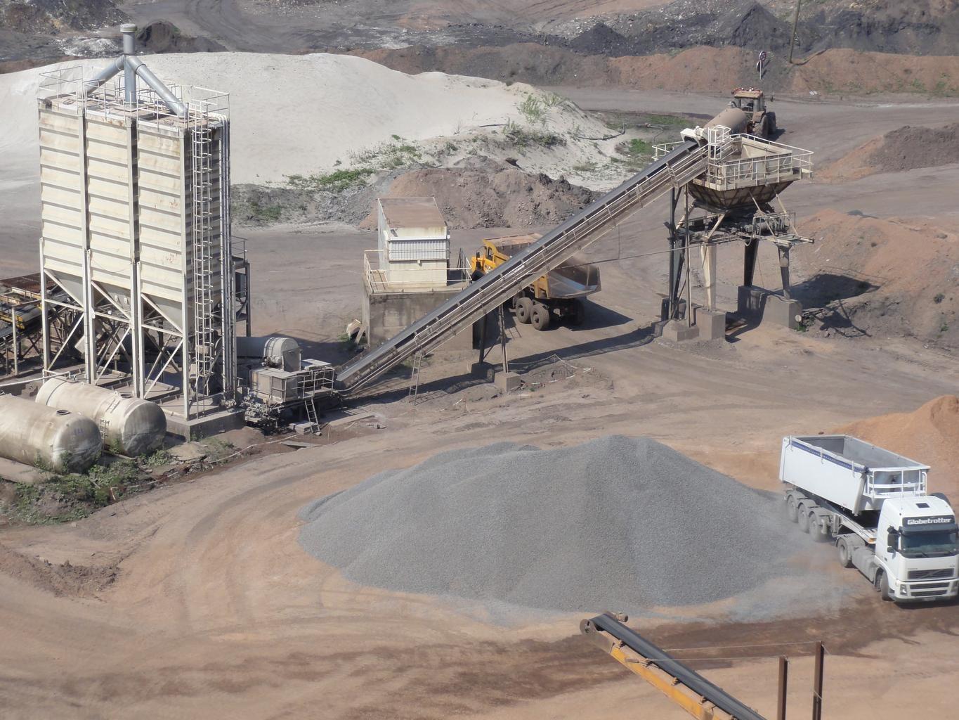
Estabilidade e Infiltração de Barragens de Rejeitos
Monitora umidade e intemperismo de sulfato em faces expostas de talude, diferenciados entre datas.
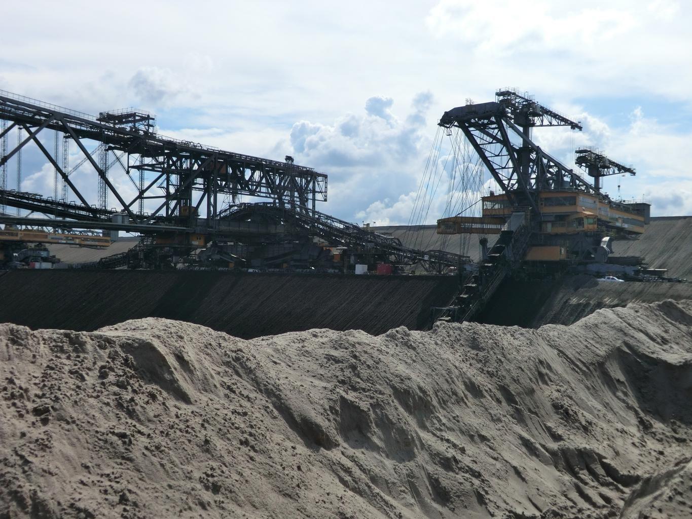
Pegada da Mina e Perturbação
Perturbação de superfície multitemporal, limites de rejeitos e pegadas de pilhas de estéril, medidos entre datas.