
Clasificación de Prospectividad Distrital
Una superficie de probabilidad a escala de distrito contra la que puede clasificar objetivos, con el esquema de validación cruzada declarado en la capa.
Puntuación regional de probabilidad para sistemas hidrotermales, respaldada por validación cruzada dejando una región fuera.
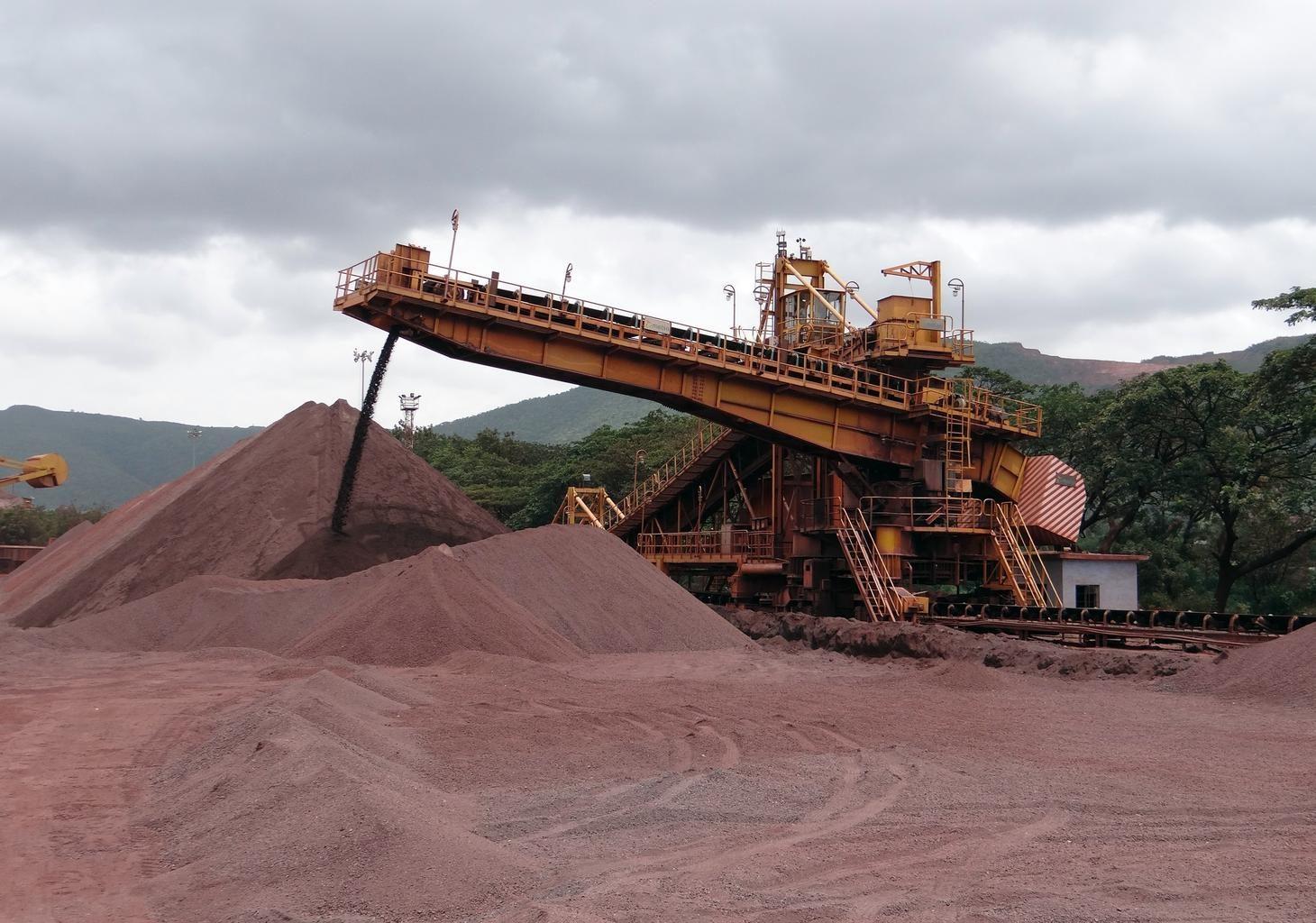
Open-pit iron ore operations. District scores rank ground like this before anyone commits to it.
LO QUE VE EL SENSOR
Qué busca esta capa.
La referencia de laboratorio de cada material, y qué captura de ella el espaciado de bandas del sensor. La banda sombreada marca el rango que lee el método.
QUÉ ENCUENTRA
Qué detecta.
| Material | Entorno típico | Qué puede confundirlo |
|---|---|---|
| Hydrothermal Core Complexes | Intrusive centers, volcanic calderas, and porphyry lithocaps | Extensive post-mineral volcanic cover |
| Structural Alteration Corridors | Regional faults, shear zones, and detachment systems | Quaternary colluvium in fault trenches |
MÉTODO
Cómo funciona.
Entra reflectancia calibrada, y cada píxel se ajusta contra una biblioteca pública de referencia.
District alteration clustering
Pulls spatial clusters of advanced argillic, phyllic and gossanous pixels out of contiguous scenes.
Leave-one-region-out calibration
Whole geological provinces are withheld during fitting, so a score cannot borrow its evidence from a neighbouring pixel in the same district.
Label permutation as a negative control
Discrimination is retested against randomised occurrence coordinates. A model that scores well on shuffled labels is measuring the sampling, not the ground.
Score generation with provenance
The output is a continuous district score carrying its model version, its input set and its interval. Expert-system features are deliberately kept out of it, so the two engines stay independent.
ESPECIFICACIONES
Qué obtiene, y sobre qué corre.
Condiciones que necesita
Method and checks are documented in Axine Applied Spectroscopy Paper #1 · Section 5.1.
Alcance
Ranks where to look first from surface evidence, not what a target holds.
EJECÚTELO SOBRE SU TERRENO
Ejecute esta capa sobre su propia área.
Ordene procesamiento sobre su área de interés, o una captura programada donde el archivo no tenga nada utilizable. El acceso a las imágenes nunca se cobra: un plan compra los modelos.
ANALÍTICA COMPLEMENTARIA
Capas relacionadas.
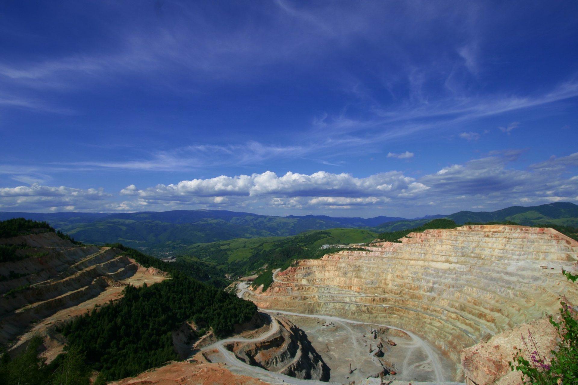
Mapeo de Minerales de Alteración
Mineralogía de alteración por píxel que separa asociaciones argílica avanzada, fílica y propilítica.
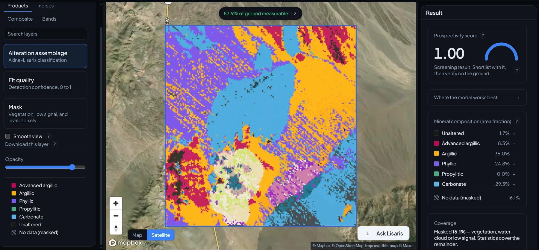
Detección de Clústeres de Alteración
Agrupamiento vectorizado que extrae los núcleos hidrotermales centrales y los nodos desde los que vale la pena trabajar hacia afuera.
Vectorización de Pórfidos Cu-Au
Vectoriza hacia el centro hidrotermal siguiendo cómo cambia la composición de la mica blanca a través del distrito.