
Vectorización de Pórfidos Cu-Au
Composición de la mica blanca mapeada como gradiente, del centro del sistema hasta su periferia.
Vectoriza hacia el centro hidrotermal siguiendo cómo cambia la composición de la mica blanca a través del distrito.
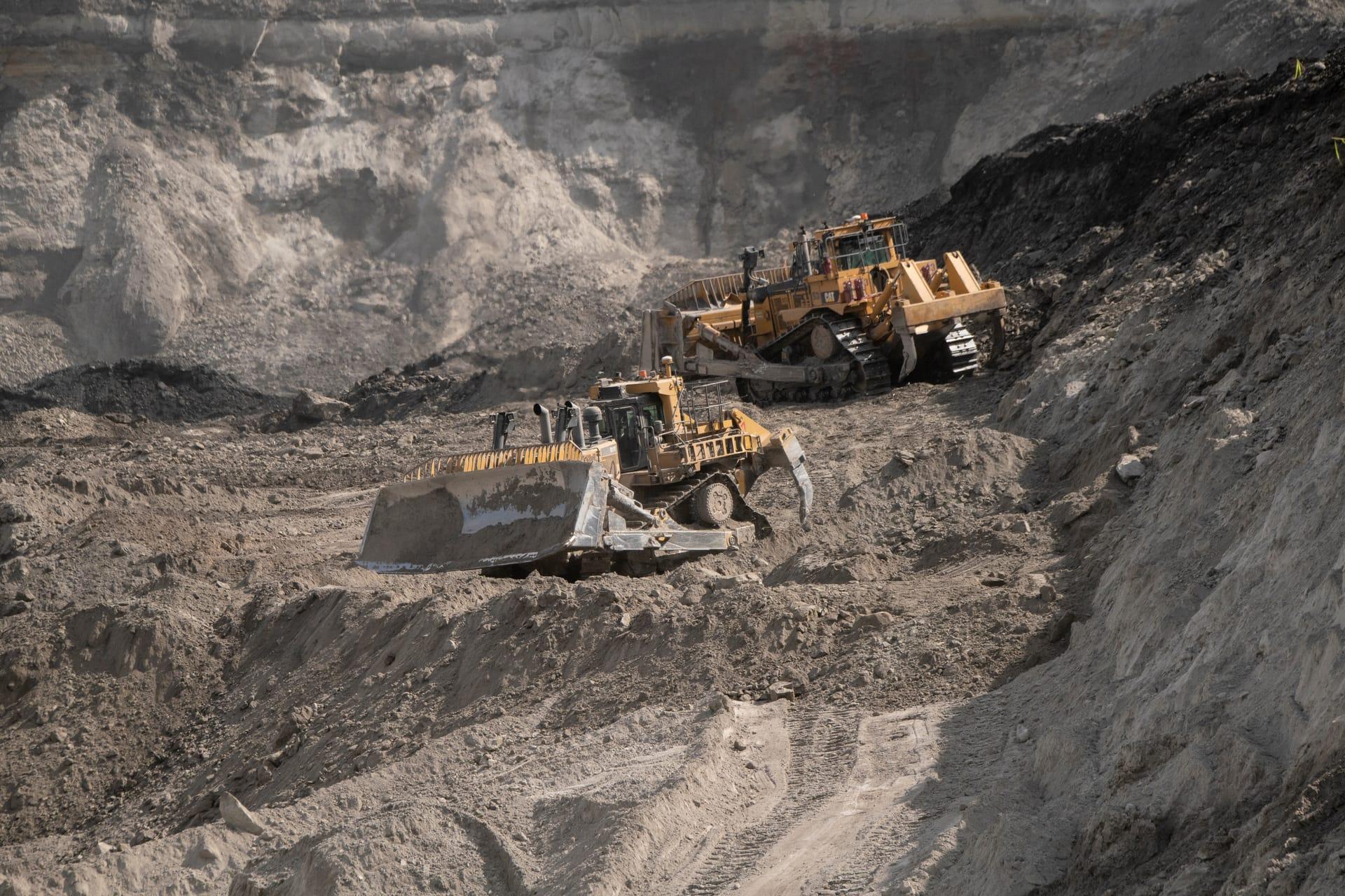
Vectoring gradient across the district, from muscovite at the centre grading to phengite on the fringe.
LO QUE VE EL SENSOR
Qué busca esta capa.
La referencia de laboratorio de cada material, y qué captura de ella el espaciado de bandas del sensor. La banda sombreada marca el rango que lee el método.
QUÉ ENCUENTRA
Qué detecta.
| Material | Entorno típico | Qué puede confundirlo |
|---|---|---|
| White Mica Compositional Continuum | Porphyry Cu-Au and Cu-Mo phyllic alteration envelopes | Kaolinite doublet masking sericite shoulder |
MÉTODO
Cómo funciona.
Entra reflectancia calibrada, y cada píxel se ajusta contra una biblioteca pública de referencia.
Polynomial fitting of the absorption minimum
The absorption minimum is fitted across neighbouring channels. Precision follows from how deep the feature is, so it is reported per pixel rather than quoted as a single figure.
Depth gate before position is trusted
The shift being measured is small, so it can only be told from noise where the absorption is deep enough. Shallower pixels are dropped rather than vectored.
Gradient mapping
Computes spatial gradients pointing toward the shorter-wavelength, higher-temperature end of the mica series.
Evaluability masking
Unaltered host rock and pixels with too little white mica are excluded and marked, not filled in.
ESPECIFICACIONES
Qué obtiene, y sobre qué corre.
Condiciones que necesita
Method and checks are documented in Axine Applied Spectroscopy Paper #1 · Section 9.1.
Alcance
Needs continuous white mica alteration and a strong signal. Weak ground is refused rather than vectored.
EJECÚTELO SOBRE SU TERRENO
Ejecute esta capa sobre su propia área.
Ordene procesamiento sobre su área de interés, o una captura programada donde el archivo no tenga nada utilizable. El acceso a las imágenes nunca se cobra: un plan compra los modelos.
ANALÍTICA COMPLEMENTARIA
Capas relacionadas.
Mapeo de Minerales de Alteración
Mineralogía de alteración por píxel que separa asociaciones argílica avanzada, fílica y propilítica.
Clasificación de Prospectividad Distrital
Puntuación regional de probabilidad para sistemas hidrotermales, respaldada por validación cruzada dejando una región fuera.
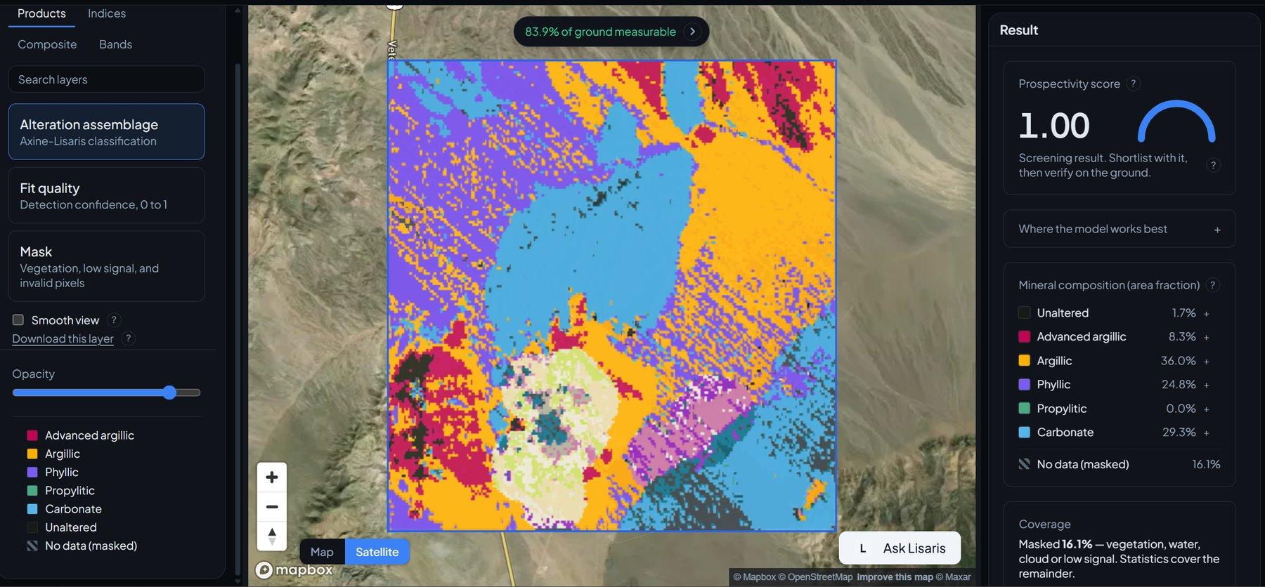
Detección de Clústeres de Alteración
Agrupamiento vectorizado que extrae los núcleos hidrotermales centrales y los nodos desde los que vale la pena trabajar hacia afuera.