
Mapeo de Cubiertas Geotérmicas
Sínter silíceo, illita amoniacal y alunita calentada por vapor, las tres cosas que marcan una cubierta geotérmica desde la órbita.
Encuentra cubiertas de reservorios activos y fósiles mediante minerales de amonio, alunita y sínter silíceo.
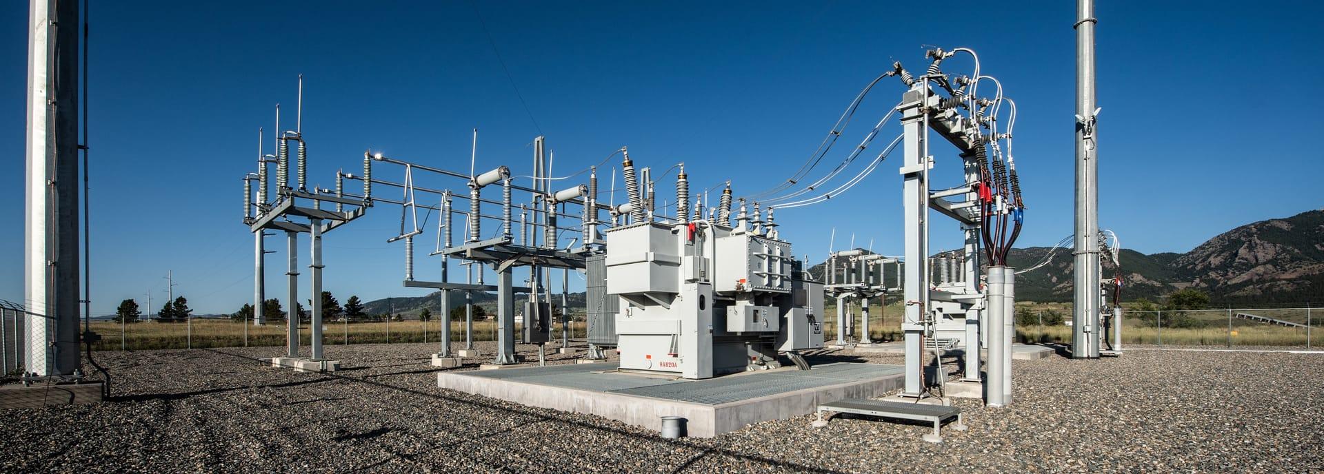
Geothermal cap assemblage: ammonium illite alongside steam-heated alunite.
LO QUE VE EL SENSOR
Qué busca esta capa.
La referencia de laboratorio de cada material, y qué captura de ella el espaciado de bandas del sensor. La banda sombreada marca el rango que lee el método.
QUÉ ENCUENTRA
Qué detecta.
| Material | Entorno típico | Qué puede confundirlo |
|---|---|---|
| Ammonium-Bearing Minerals (Buddingtonite / NH4-Illite) | Active and fossil high-enthalpy geothermal reservoir caps | Ordinary illite, whose absorption overlaps it |
| Opaline Silica Sinter | Surface hot spring vents and geyser discharge channels | Calcite travertine encrustations; the thermal-infrared silica feature is not available on any sensor this platform reads |
MÉTODO
Cómo funciona.
Entra reflectancia calibrada, y cada píxel se ajusta contra una biblioteca pública de referencia.
Narrowband ammonium extraction
Separates the weak ammonium signature from the much stronger clay absorption next door to it.
Sulfate and silica fitting
Steam-heated alunite and the opaline silica hydration shoulder are fitted against library spectra. The thermal-infrared silica feature would corroborate this and is out of reach: no sensor in the registry publishes it.
Cap delineation
Groups steam-heated assemblages into contiguous caps and reports the evaluable fraction of each.
Quality masking
Vegetation moisture anomalies and standing water are excluded.
ESPECIFICACIONES
Qué obtiene, y sobre qué corre.
Condiciones que necesita
Method and checks are documented in Axine Applied Spectroscopy Paper #2 · Section 4.1.
Alcance
Maps the surface assemblage left by geothermal fluid. Reservoir temperature at depth is not part of it.
EJECÚTELO SOBRE SU TERRENO
Ejecute esta capa sobre su propia área.
Ordene procesamiento sobre su área de interés, o una captura programada donde el archivo no tenga nada utilizable. El acceso a las imágenes nunca se cobra: un plan compra los modelos.
ANALÍTICA COMPLEMENTARIA
Capas relacionadas.
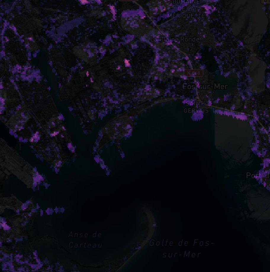
Detección de Plumas de Metano
Realce de columna sobre instalaciones de petróleo y gas. Los productos públicos de plumas revisados pasan con su procedencia, y nuestro propio filtro corre en paralelo como cribado.
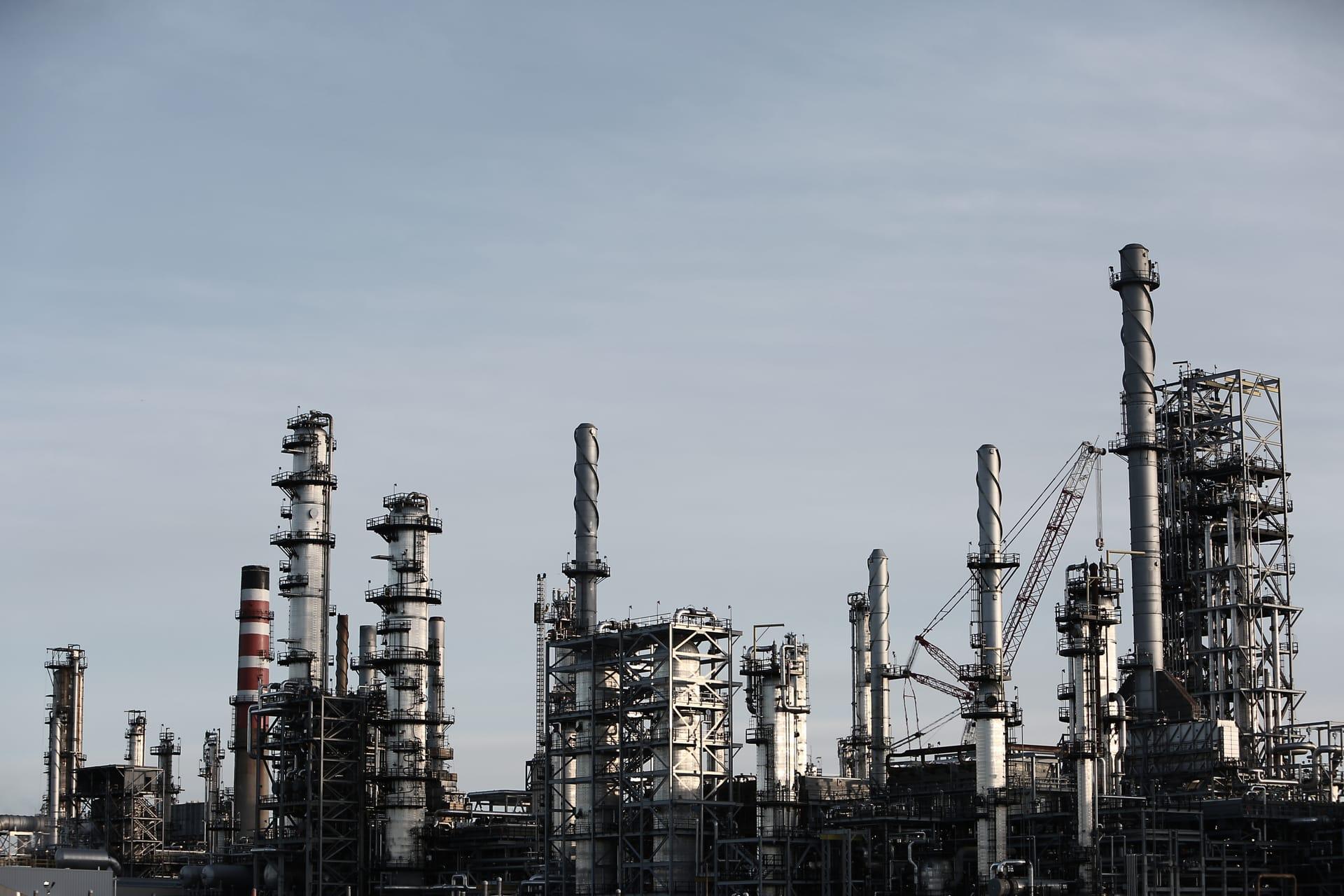
Microfiltración de Hidrocarburos
Patrones de alteración superficial sobre cuencas petroleras, reportados como indicadores y no como un hallazgo.
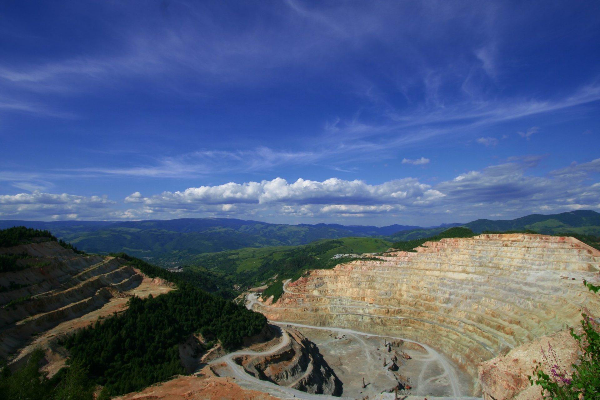
Mapeo de Minerales de Alteración
Mineralogía de alteración por píxel que separa asociaciones argílica avanzada, fílica y propilítica.