
Microfiltración de Hidrocarburos
Capas rojas blanqueadas y carbonato secundario sobre cuencas petroleras, reportados como indicadores y no como una detección.
Patrones de alteración superficial sobre cuencas petroleras, reportados como indicadores y no como un hallazgo.
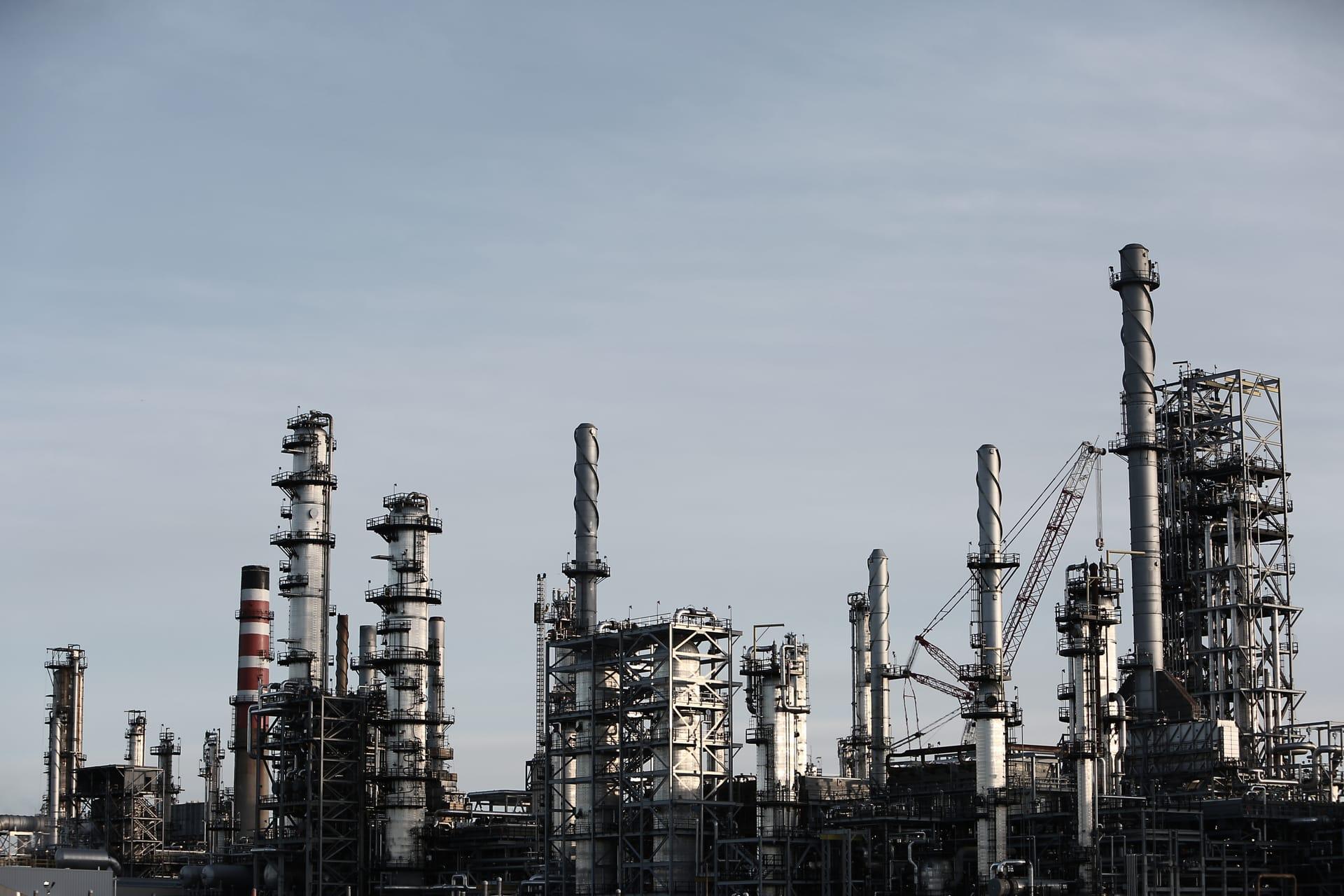
Bleached redbed and epigenetic carbonate patterns of the kind associated with hydrocarbon microseepage.
LO QUE VE EL SENSOR
Qué busca esta capa.
La referencia de laboratorio de cada material, y qué captura de ella el espaciado de bandas del sensor. La banda sombreada marca el rango que lee el método.
QUÉ ENCUENTRA
Qué detecta.
| Material | Entorno típico | Qué puede confundirlo |
|---|---|---|
| Epigenetic Bleaching & Carbonate Minerals | Sedimentary basins over oil and gas reservoir traps | Agricultural lime spreading and modern sedimentary evaporites |
MÉTODO
Cómo funciona.
Entra reflectancia calibrada, y cada píxel se ajusta contra una biblioteca pública de referencia.
Ferric depletion mapping
Measures iron absorption depth across a stratigraphic unit, so bleaching shows as a deficit against that unit's own background rather than against an absolute number.
Epigenetic carbonate extraction
Picks out localised secondary carbonate inside the bleached ground.
Drainage and modern-soil filtering
Alluvial channels and recent soils are removed using elevation-derived drainage, since both produce the same two signals for entirely mundane reasons.
Co-occurrence, not a score
The two layers are shown together, and where they coincide. They stay separate rather than being folded into one score, because two independent indicators are more useful read side by side.
ESPECIFICACIONES
Qué obtiene, y sobre qué corre.
Condiciones que necesita
Method and checks are documented in Axine Applied Spectroscopy Paper #2 · Section 5.2.
Alcance
An indicator layer only. The same surface patterns occur without hydrocarbons beneath them.
EJECÚTELO SOBRE SU TERRENO
Ejecute esta capa sobre su propia área.
Ordene procesamiento sobre su área de interés, o una captura programada donde el archivo no tenga nada utilizable. El acceso a las imágenes nunca se cobra: un plan compra los modelos.
ANALÍTICA COMPLEMENTARIA
Capas relacionadas.
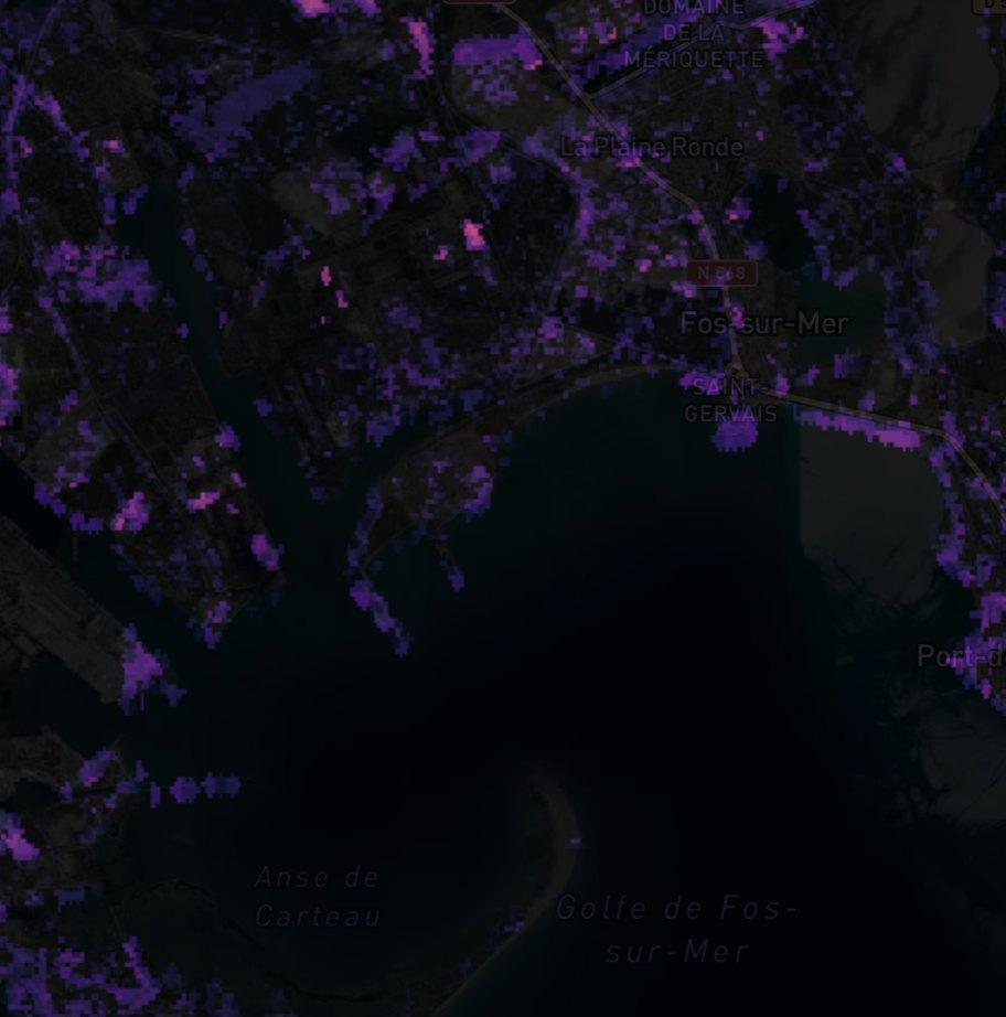
Detección de Plumas de Metano
Realce de columna sobre instalaciones de petróleo y gas. Los productos públicos de plumas revisados pasan con su procedencia, y nuestro propio filtro corre en paralelo como cribado.
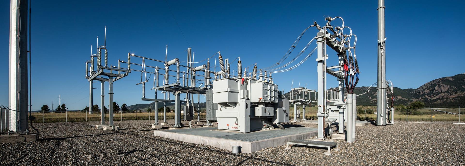
Mapeo de Cubiertas Geotérmicas
Encuentra cubiertas de reservorios activos y fósiles mediante minerales de amonio, alunita y sínter silíceo.
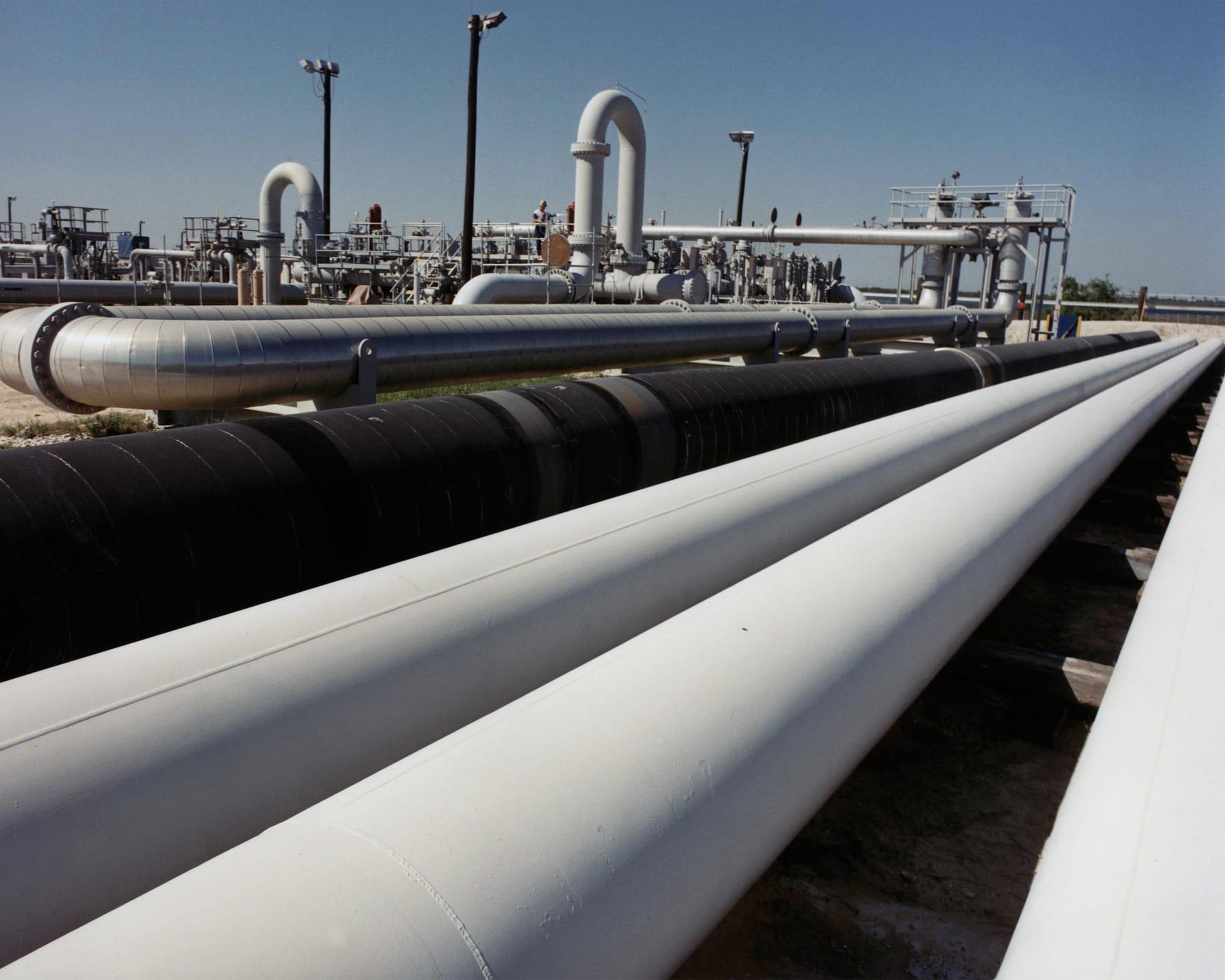
Estabilidad del Terreno en Corredores de Ductos
Sigue arcillas expansivas y humedad a lo largo de un corredor, para que las cuadrillas vayan adonde el terreno realmente se movió.