
Estabilidade e Infiltração de Barragens de Rejeitos
Monitoramento de taludes para umidade de superfície e eflorescência de sulfato, diferenciadas contra uma linha de base de data seca.
Monitora umidade e intemperismo de sulfato em faces expostas de talude, diferenciados entre datas.
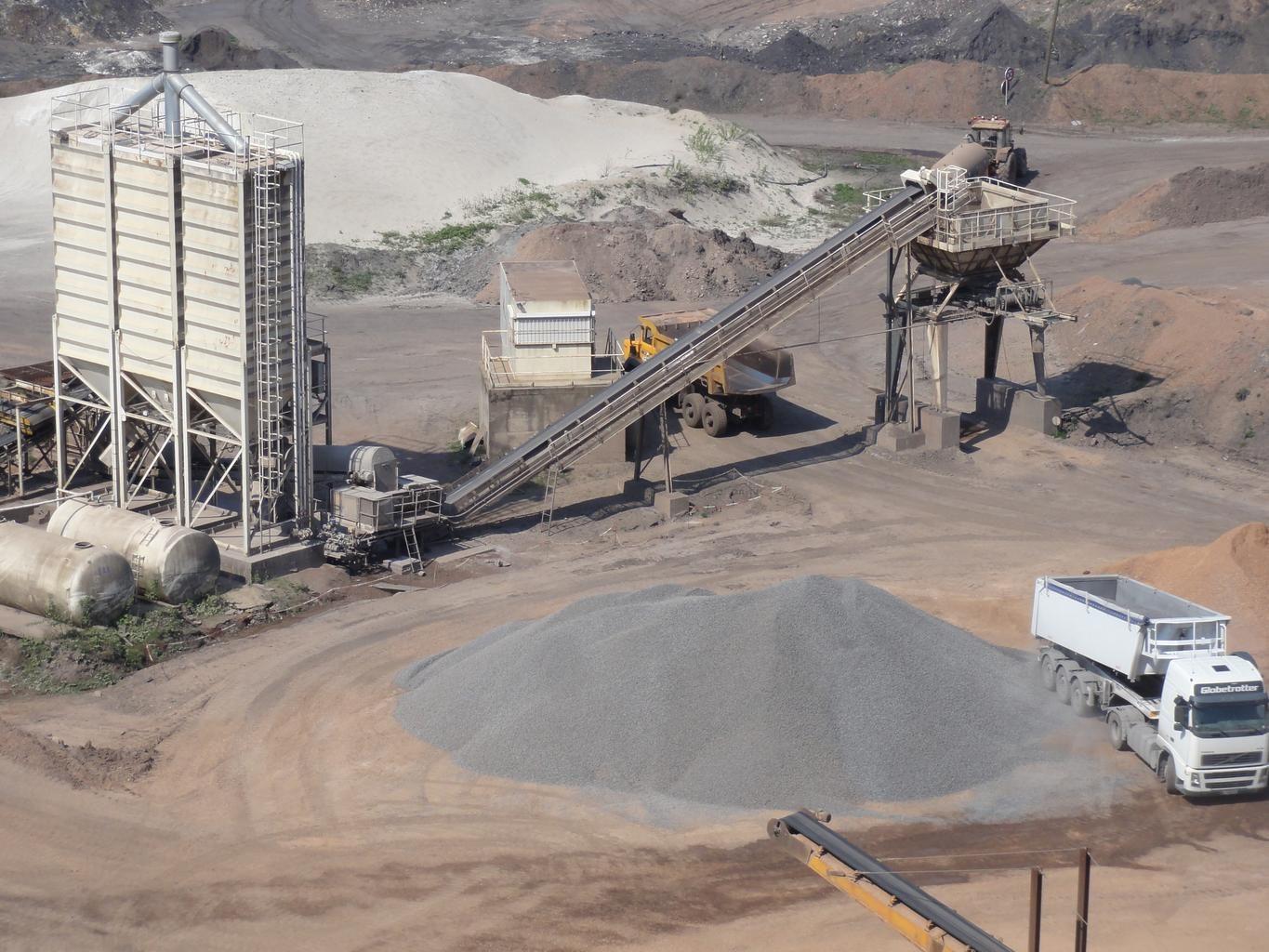
Mine spoil tips. The layer watches embankment faces for moisture change.
O QUE O SENSOR VÊ
O que esta camada procura.
A referência de laboratório de cada material, e o que o espaçamento de bandas do sensor captura dela. A faixa sombreada marca o intervalo que o método lê.
O QUE ELA ENCONTRA
O que ela detecta.
| Material | Contexto típico | O que pode confundi-la |
|---|---|---|
| Moisture Seepage & Phreatic Line Emergence | Tailings storage facilities (TSF), dam downstream slopes, and buttress toes | Recent rainfall events (requires baseline temporal subtraction) |
MÉTODO
Como funciona.
Entra reflectância calibrada, e cada pixel é ajustado contra uma biblioteca pública de referência.
Grid handling over steep ground
Imagery is reprojected onto a common grid rather than resampled, which matters on an embankment face where a small horizontal error moves a pixel a long way down the slope.
Surface moisture band depth
Water absorption depth, normalised by brightness. Which feature carries the measurement depends on what the sensor in front of it actually covers.
Difference against a dry baseline
A dry date is subtracted so uniform rainfall wetting cancels and only persistent wet ground remains. The scene-wide median offset is surfaced and can be removed.
Zones reported, not scored
Persistent wet zones are outlined and handed over with their coordinates. No stability score is computed, because a spectral reading of a surface cannot support one.
ESPECIFICAÇÕES
O que você recebe, e sobre o que ela roda.
Condições de que precisa
Method and checks are documented in Axine Applied Spectroscopy Paper #3 · Section 7.1.
Escopo
Reads the exposed face only. Pore pressure and the phreatic surface stay with your piezometers.
EXECUTE SOBRE O SEU TERRENO
Execute esta camada sobre a sua própria área.
Solicite processamento sobre a sua área de interesse, ou uma captura programada onde o acervo não tiver nada utilizável. O acesso às imagens de satélite nunca é cobrado: um plano compra os modelos.
ANALÍTICAS COMPLEMENTARES
Camadas relacionadas.
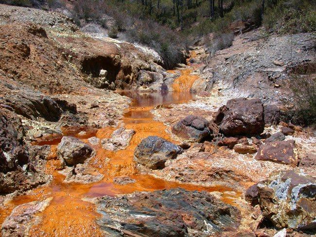
Triagem de Drenagem Ácida
Triagem de revestimentos de precipitados ao longo de canais de descarga, com um piso férrico condicionando a leitura.
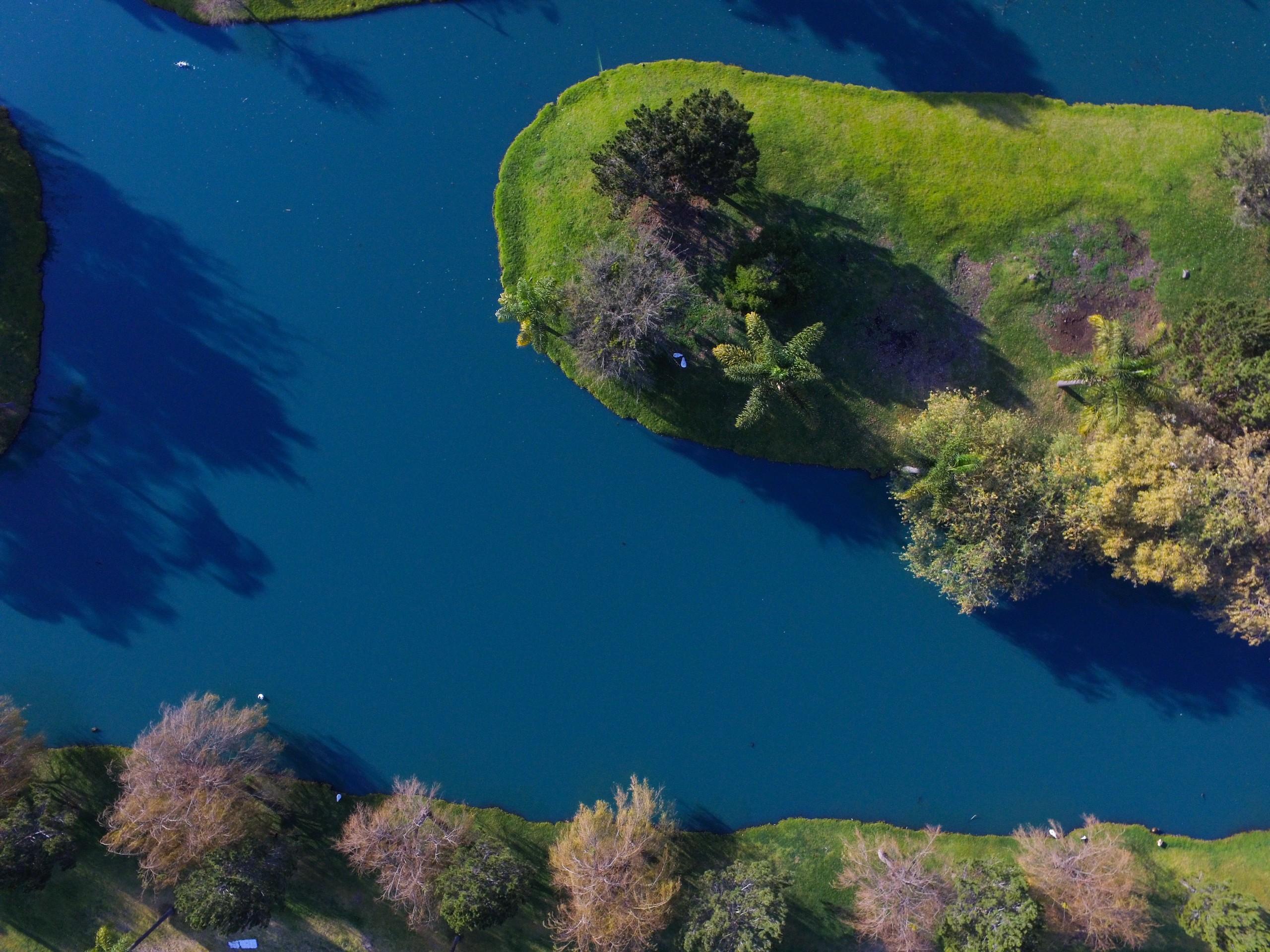
Qualidade de Águas Superficiais
Triagem de pigmento e turbidez sobre águas interiores, usando ajustes publicados aplicados sem alterações.
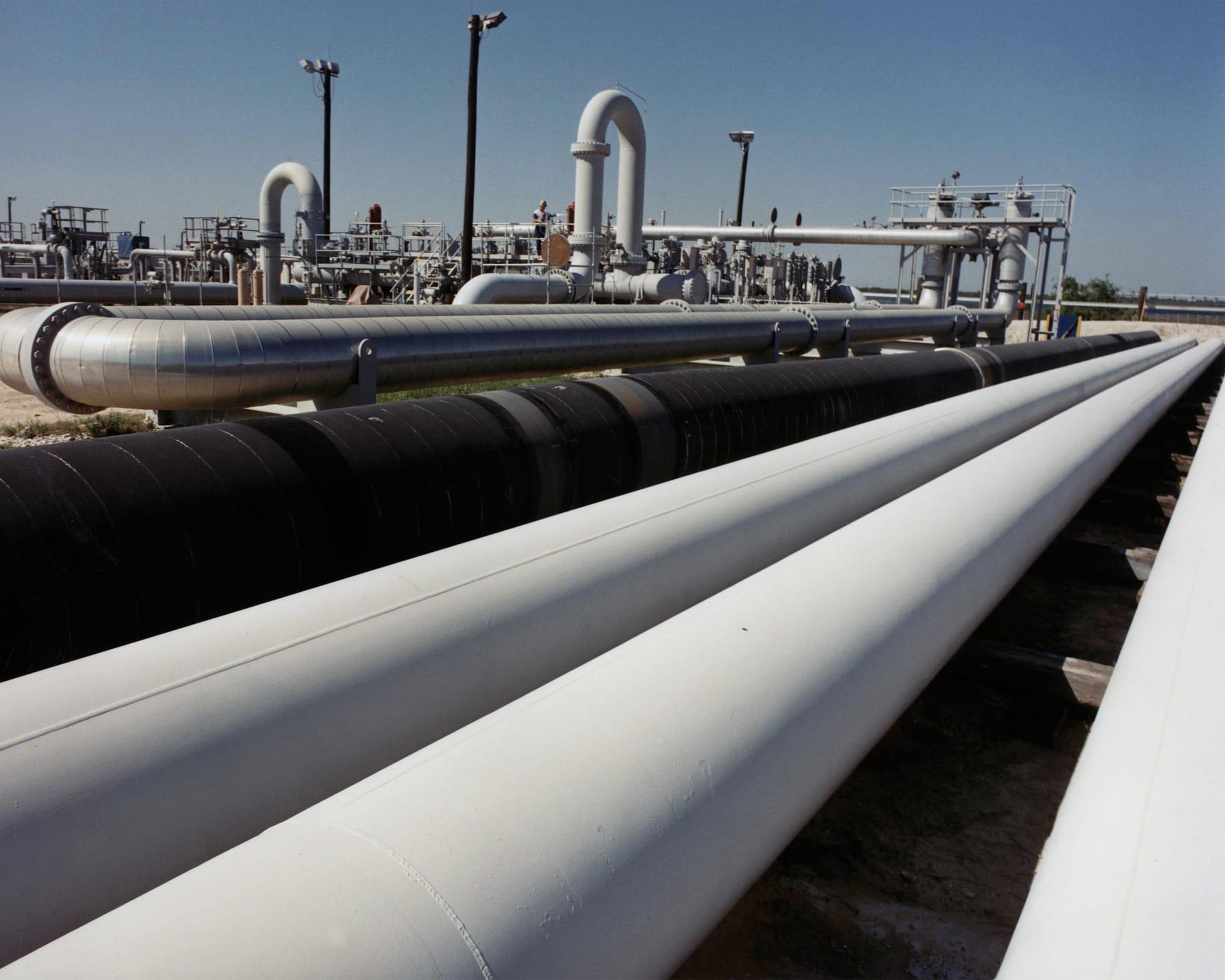
Estabilidade do Terreno em Corredores de Dutos
Acompanha argilas expansivas e umidade ao longo de um corredor, para que as equipes vão aonde o terreno realmente se moveu.