
Lisaris EO Studio is live at lisaris.axinelabs.com.
Draw an area anywhere on Earth and Lisaris searches the open archives that cover it, hyperspectral and multispectral alike. Pick a scene and the analysis runs in place: indices, composites, band views, mineral identification, methane screening, forest condition, water quality. Nothing to download, nothing to preprocess, no GIS seat required.
Searching and previewing is free, signed in or not. That is not a trial: browsing public imagery should not cost anything, and on Lisaris it never will. Deterministic band analytics are free as well. The models we built ourselves, mineral identification and prospectivity scoring among them, run under Professional and Enterprise plans.
What you get back
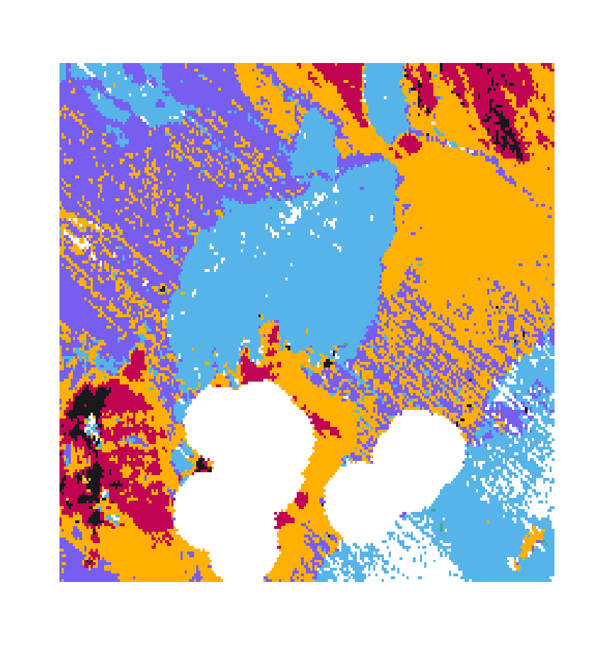
A completed analysis lands in your workspace as layers you can read and export: the classification or index raster, a fit quality layer where one applies, and the mask that says plainly which ground could not be evaluated. Every result carries its scene identifiers, processing timestamp and model version. A rerun creates a new record rather than silently restating an old one.
What is next
Commercial metre-class SWIR imagery is being integrated for archive orders and tasked capture, priced per square kilometre and opened with a quote. The analytics catalogue keeps growing, and everything new lands with the same rule the rest of the platform follows: state what the measurement supports, and attach the evidence.
Open Lisaris and draw your first area. It costs nothing to look.