
Mapeamento de Capas Geotérmicas
Sínter silicoso, ilita amoniacal e alunita aquecida por vapor, as três coisas que marcam uma capa geotérmica vista da órbita.
Encontra capas de reservatórios ativos e fósseis por meio de minerais de amônio, alunita e sínter silicoso.
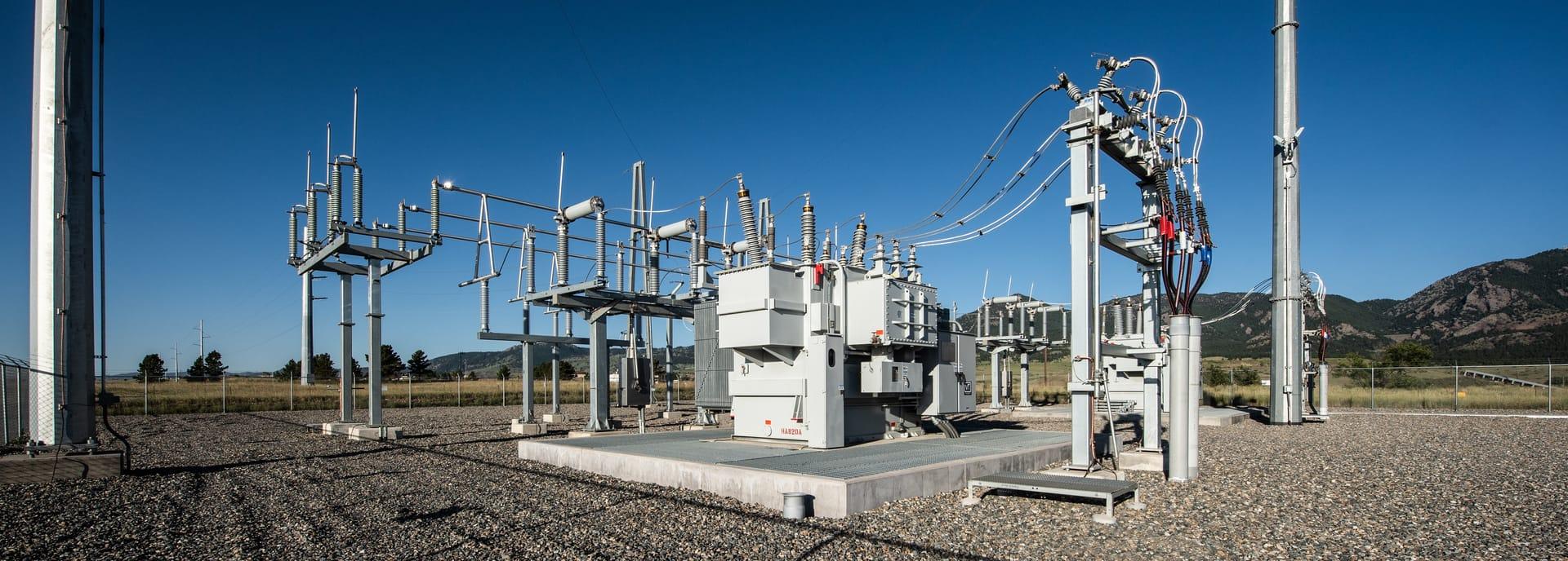
Geothermal cap assemblage: ammonium illite alongside steam-heated alunite.
O QUE O SENSOR VÊ
O que esta camada procura.
A referência de laboratório de cada material, e o que o espaçamento de bandas do sensor captura dela. A faixa sombreada marca o intervalo que o método lê.
O QUE ELA ENCONTRA
O que ela detecta.
| Material | Contexto típico | O que pode confundi-la |
|---|---|---|
| Ammonium-Bearing Minerals (Buddingtonite / NH4-Illite) | Active and fossil high-enthalpy geothermal reservoir caps | Ordinary illite, whose absorption overlaps it |
| Opaline Silica Sinter | Surface hot spring vents and geyser discharge channels | Calcite travertine encrustations; the thermal-infrared silica feature is not available on any sensor this platform reads |
MÉTODO
Como funciona.
Entra reflectância calibrada, e cada pixel é ajustado contra uma biblioteca pública de referência.
Narrowband ammonium extraction
Separates the weak ammonium signature from the much stronger clay absorption next door to it.
Sulfate and silica fitting
Steam-heated alunite and the opaline silica hydration shoulder are fitted against library spectra. The thermal-infrared silica feature would corroborate this and is out of reach: no sensor in the registry publishes it.
Cap delineation
Groups steam-heated assemblages into contiguous caps and reports the evaluable fraction of each.
Quality masking
Vegetation moisture anomalies and standing water are excluded.
ESPECIFICAÇÕES
O que você recebe, e sobre o que ela roda.
Condições de que precisa
Method and checks are documented in Axine Applied Spectroscopy Paper #2 · Section 4.1.
Escopo
Maps the surface assemblage left by geothermal fluid. Reservoir temperature at depth is not part of it.
EXECUTE SOBRE O SEU TERRENO
Execute esta camada sobre a sua própria área.
Solicite processamento sobre a sua área de interesse, ou uma captura programada onde o acervo não tiver nada utilizável. O acesso às imagens de satélite nunca é cobrado: um plano compra os modelos.
ANALÍTICAS COMPLEMENTARES
Camadas relacionadas.
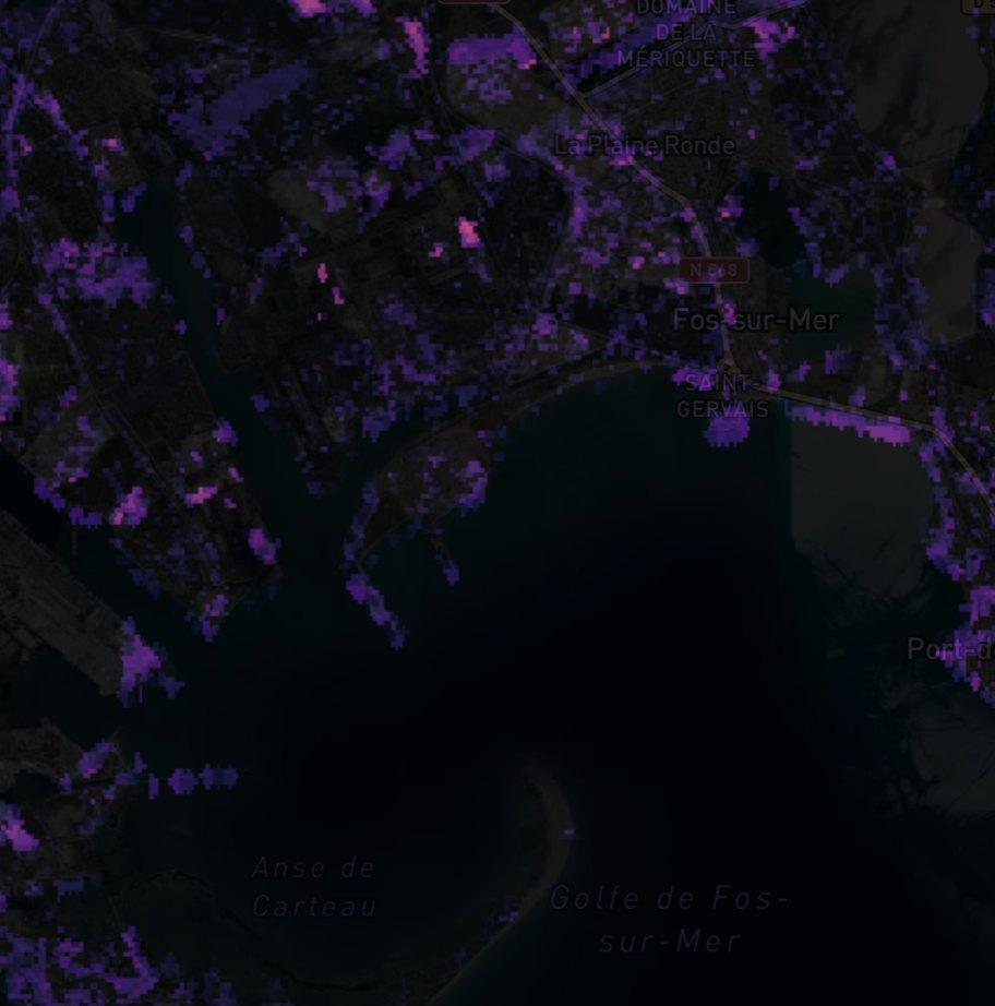
Detecção de Plumas de Metano
Realce de coluna sobre instalações de óleo e gás. Produtos públicos de plumas revisados passam adiante com sua proveniência, e nosso próprio filtro roda em paralelo como triagem.
Microexsudação de Hidrocarbonetos
Padrões de alteração de superfície acima de bacias petrolíferas, reportados como indicadores e não como uma descoberta.
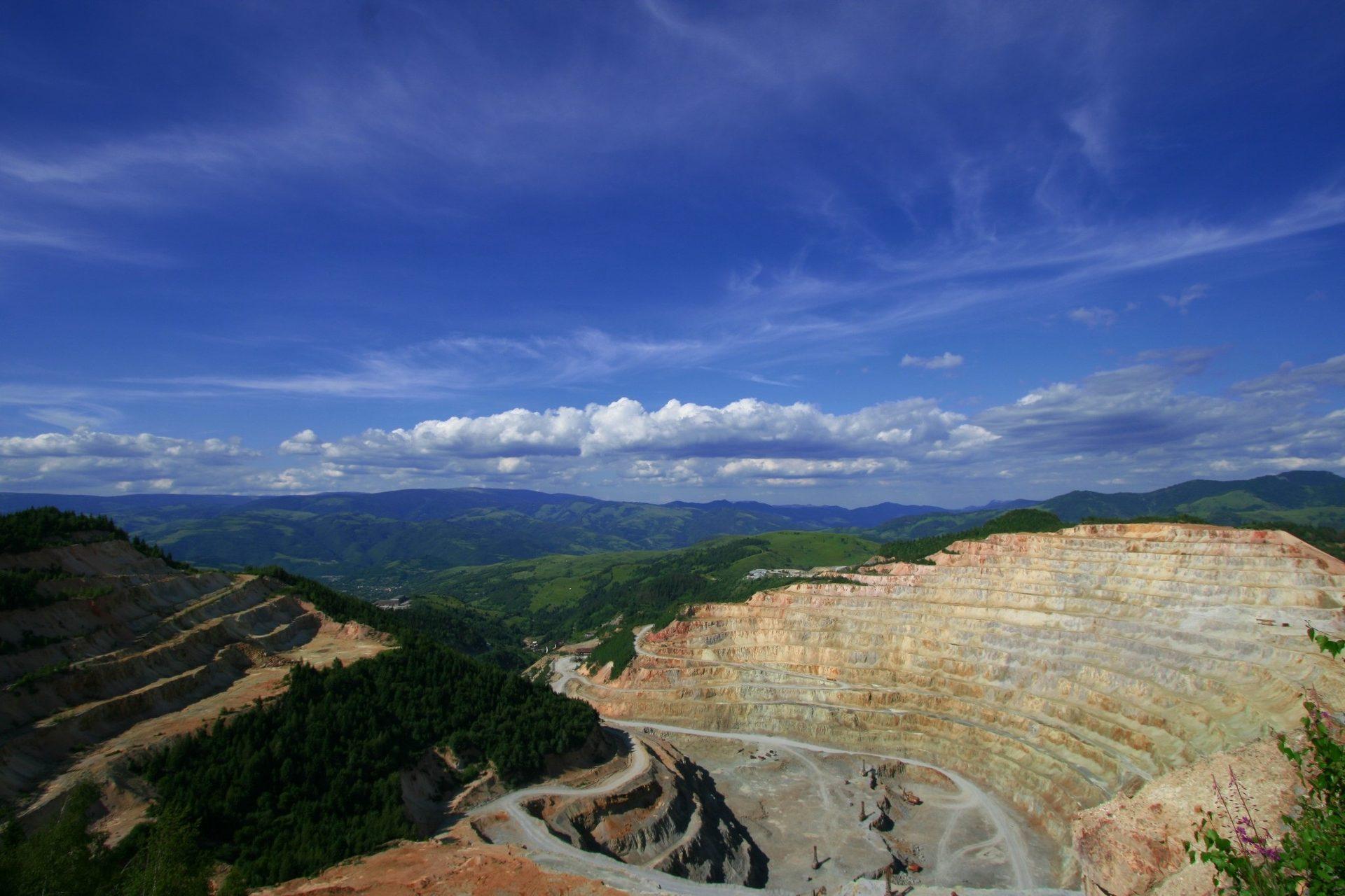
Mapeamento Mineral de Alteração
Mineralogia de alteração por pixel separando assembleias argílicas avançadas, filíticas e propilíticas.