
Pegada da Mina e Perturbação
Cavas a céu aberto, pilhas de estéril e limites de rejeitos, acompanhados entre datas em uma grade comum.
Perturbação de superfície multitemporal, limites de rejeitos e pegadas de pilhas de estéril, medidos entre datas.
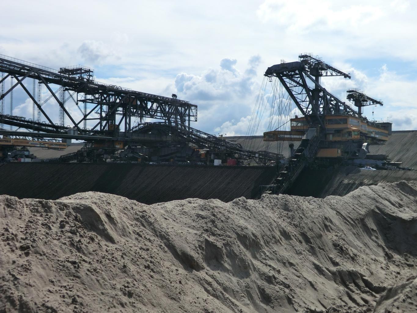
Open-cast workings. Footprint boundaries are differenced between dates.
O QUE ELA ENCONTRA
O que ela detecta.
| Material | Contexto típico | O que pode confundi-la |
|---|---|---|
| Mining Surface Disturbance Footprint | Open-pit and underground mine sites globally | Natural seasonal vegetation dieback in surrounding wildlands |
MÉTODO
Como funciona.
Entra reflectância calibrada, e cada pixel é ajustado contra uma biblioteca pública de referência.
Pairing the two dates
Both scenes are placed on a common grid. Differencing across sensors is refused, and so is differencing a result from one engine against a result from another.
Differencing with the offset exposed
Raw differencing on layers that carry an absolute scale on both dates. The scene-wide median offset is shown and can be removed, so a seasonal brightness shift is visible as such rather than mistaken for new ground.
Segmentation into facility classes
Disturbance is split into pit, waste rock, ponds and infrastructure by shape and spectrum together.
Overlay against the permitted boundary
Polygons are intersected with the boundary you supply and reported inside and outside, in km² to one decimal. An all-empty difference raises rather than reporting that nothing changed.
ESPECIFICAÇÕES
O que você recebe, e sobre o que ela roda.
Condições de que precisa
Method and checks are documented in Axine Applied Spectroscopy Paper #1 · Section 10.2.
Escopo
Surface disturbance only. Underground workings and wall stability sit outside what it reaches.
EXECUTE SOBRE O SEU TERRENO
Execute esta camada sobre a sua própria área.
Solicite processamento sobre a sua área de interesse, ou uma captura programada onde o acervo não tiver nada utilizável. O acesso às imagens de satélite nunca é cobrado: um plano compra os modelos.
ANALÍTICAS COMPLEMENTARES
Camadas relacionadas.
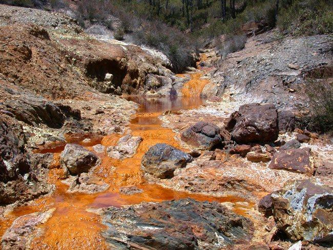
Triagem de Drenagem Ácida
Triagem de revestimentos de precipitados ao longo de canais de descarga, com um piso férrico condicionando a leitura.
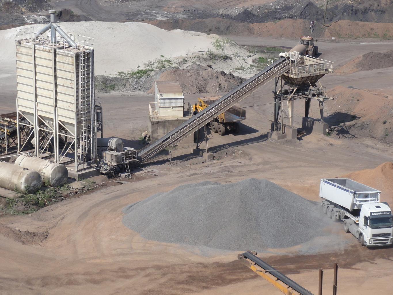
Estabilidade e Infiltração de Barragens de Rejeitos
Monitora umidade e intemperismo de sulfato em faces expostas de talude, diferenciados entre datas.
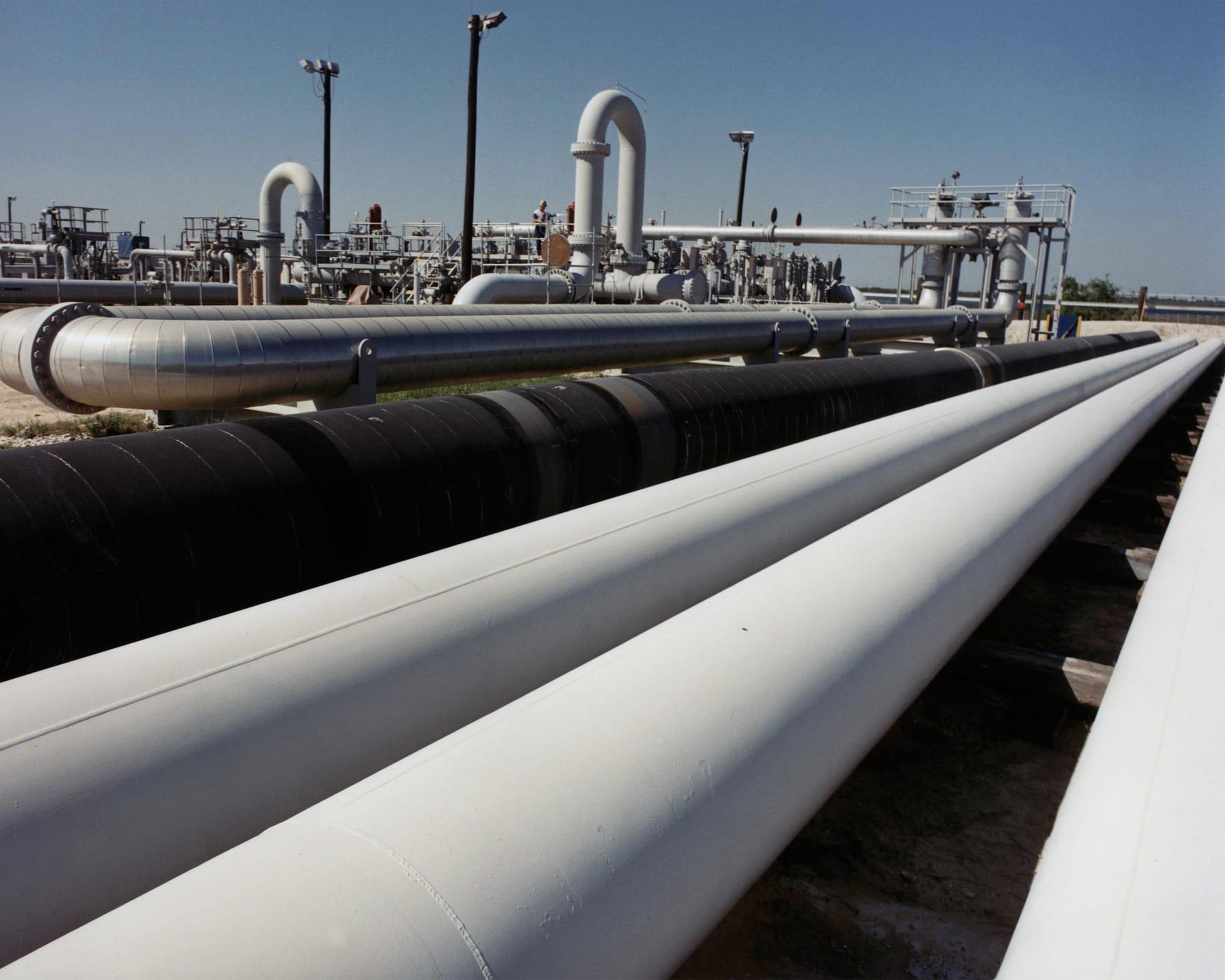
Estabilidade do Terreno em Corredores de Dutos
Acompanha argilas expansivas e umidade ao longo de um corredor, para que as equipes vão aonde o terreno realmente se moveu.