冠层叶绿素与红边
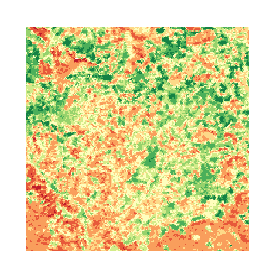
红边拐点位置,在经营林区上跨采集期追踪。
红边位置,跟随冠层色素变化。分辨不出红边的传感器会被直接拒绝。
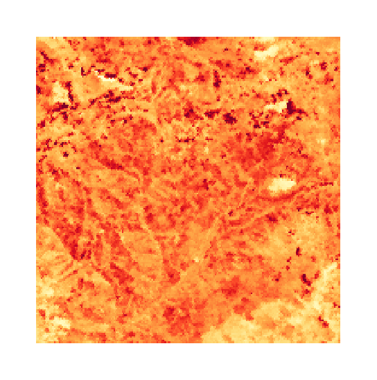
Red-edge inflection position across a managed forest, tracked between acquisitions.
它能发现什么
它检测什么。
| 材料 | 典型产出环境 | 可能的混淆因素 |
|---|---|---|
| Red-edge inflection position | Managed forests, natural stands, and broadacre crops | Self-shadowing in steep terrain and aerosol scattering in deep valleys |
方法
工作原理。
输入校准反射率,每个像元都对照公开参考库进行拟合。
Band feasibility check
Feasibility is derived from band centre, band width, ground sample and product level, not from a hand-kept list per sensor. An instrument with no band inside the red edge is refused before anything is computed.
First-derivative inflection extraction
Locates the steepest point of the red edge, which is where canopy pigment shows up.
Time series over the stand
One point per acquisition, ordered by ground time, with gaps left visible and superseded points counted rather than quietly dropped.
Quality masking
Snow, water, cloud shadow and exposed rock are masked out.
技术规格
您得到什么,它在什么数据上运行。
所需环境条件
Method and checks are documented in Axine Applied Spectroscopy Paper #4 · Section 4.1.
适用边界
The signal flattens once the canopy is dense, so it separates stressed stands more sharply than healthy ones.