尾矿坝稳定性与渗漏
针对地表水分与硫酸盐盐霜的坝体监测,对干燥日期基线作差分。
监测出露坝面的水分与硫酸盐风化,跨期作差分。
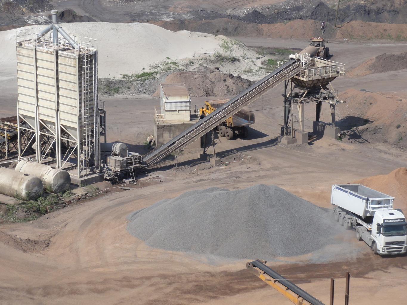
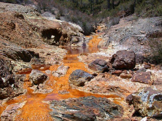
Mine spoil tips. The layer watches embankment faces for moisture change.
传感器看到什么
这个图层在寻找什么。
每种材料的实验室参考光谱,以及传感器波段间隔能捕捉到的部分。阴影区标示方法读取的范围。
它能发现什么
它检测什么。
| 材料 | 典型产出环境 | 可能的混淆因素 |
|---|---|---|
| Moisture Seepage & Phreatic Line Emergence | Tailings storage facilities (TSF), dam downstream slopes, and buttress toes | Recent rainfall events (requires baseline temporal subtraction) |
方法
工作原理。
输入校准反射率,每个像元都对照公开参考库进行拟合。
Grid handling over steep ground
Imagery is reprojected onto a common grid rather than resampled, which matters on an embankment face where a small horizontal error moves a pixel a long way down the slope.
Surface moisture band depth
Water absorption depth, normalised by brightness. Which feature carries the measurement depends on what the sensor in front of it actually covers.
Difference against a dry baseline
A dry date is subtracted so uniform rainfall wetting cancels and only persistent wet ground remains. The scene-wide median offset is surfaced and can be removed.
Zones reported, not scored
Persistent wet zones are outlined and handed over with their coordinates. No stability score is computed, because a spectral reading of a surface cannot support one.
技术规格
您得到什么,它在什么数据上运行。
所需环境条件
Method and checks are documented in Axine Applied Spectroscopy Paper #3 · Section 7.1.
适用边界
Reads the exposed face only. Pore pressure and the phreatic surface stay with your piezometers.