表土黏土与盐渍化指数
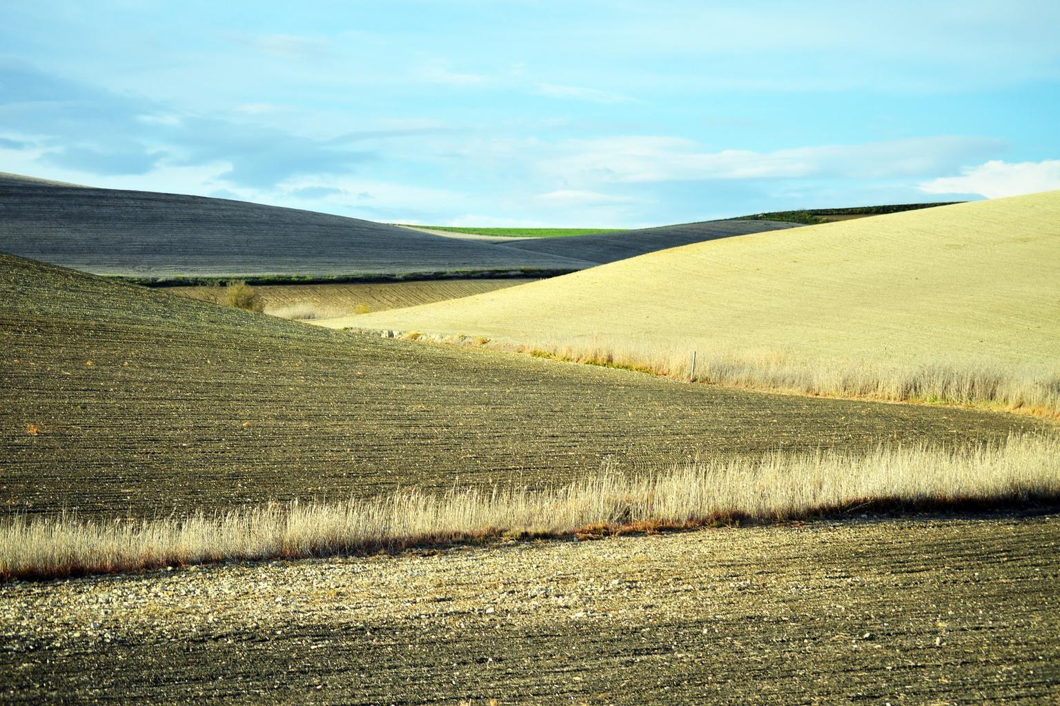
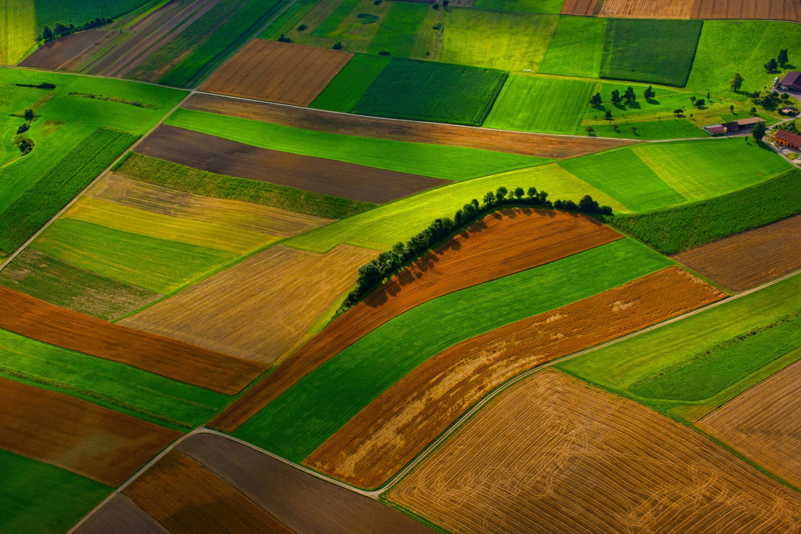
表土黏土吸收深度与石膏水合特征,在干燥裸土上测量。
裸土上的石膏与黏土读数。盐本身对传感器不可见,盐渍化只能通过其伴生物推断。
Bare topsoil: clay absorption depth alongside the gypsum hydration reading.
传感器看到什么
这个图层在寻找什么。
每种材料的实验室参考光谱,以及传感器波段间隔能捕捉到的部分。阴影区标示方法读取的范围。
它能发现什么
它检测什么。
| 材料 | 典型产出环境 | 可能的混淆因素 |
|---|---|---|
| Gypsum & Sodic Salinity Crusts | Irrigated basins, dryland salinity discharge areas, and playas | Wet soil suppresses the gypsum absorption; halite itself is spectrally silent |
| Topsoil clay absorption depth | Agricultural seedbeds and arable topsoils | Organic matter flattens the clay feature and shallow depths are the common case |
方法
工作原理。
输入校准反射率,每个像元都对照公开参考库进行拟合。
Bare soil extraction
Dry exposed soil pixels are selected from the archive's surface reflectance product; anything under crop or residue is excluded rather than corrected.
Gypsum hydration depth
Gypsum hydration is measured on fixed shoulders. Which features are available depends on what the sensor covers, and the ones out of reach are simply not used.
Clay absorption depth
Clay absorption depth is reported directly. It deepens with clay content, and turning it into a texture class is a regional calibration rather than a direct reading.
Layers reported side by side
Gypsum and clay depths are delivered as separate layers with their evaluable fractions. No electrical conductivity proxy is derived from them.
技术规格
您得到什么,它在什么数据上运行。
所需环境条件
Method and checks are documented in Axine Applied Spectroscopy Paper #5 · Section 5.1.
适用边界
Salt itself is invisible to the sensor, so salinity is inferred from the minerals that travel with it.