土壤裸露与秸秆覆盖
秸秆与裸土组分占比,将干纤维素与其下的矿质黏土背景分开。
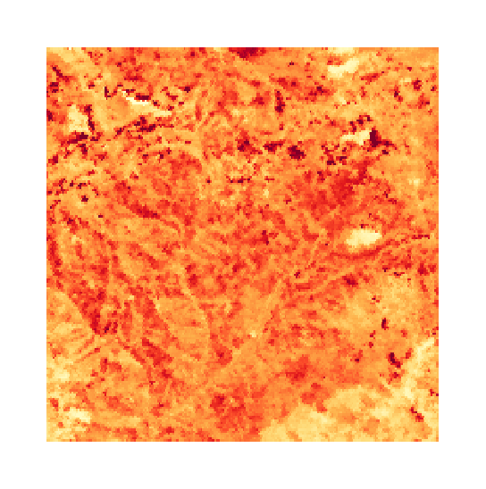
秸秆覆盖度与表土黏土,用于覆盖度与耕作分类。
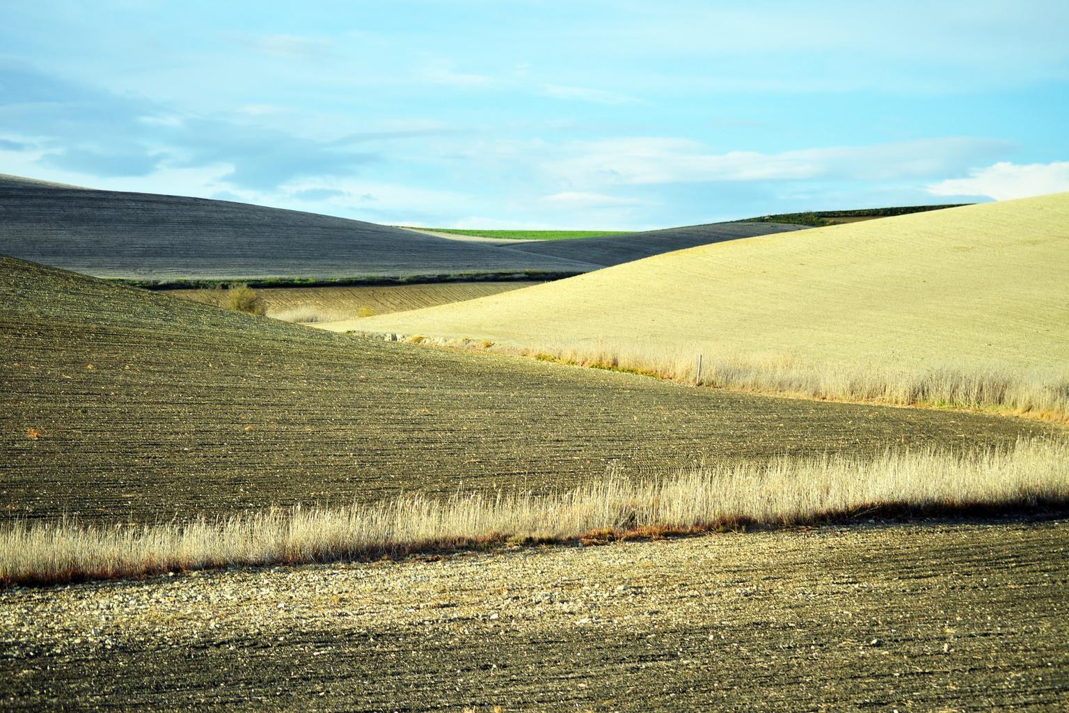
Freshly ploughed fields, the bare-soil window the layer reads.
传感器看到什么
这个图层在寻找什么。
每种材料的实验室参考光谱,以及传感器波段间隔能捕捉到的部分。阴影区标示方法读取的范围。
它能发现什么
它检测什么。
| 材料 | 典型产出环境 | 可能的混淆因素 |
|---|---|---|
| Fractional Crop Residue Cover (fCover) | Agricultural croplands under conservation tillage / no-till management | Moisture in wet residue suppressing cellulose absorption depth |
方法
工作原理。
输入校准反射率,每个像元都对照公开参考库进行拟合。
Band feasibility check
The three wavelengths the index needs are checked against the sensor's own band centres and widths before the job starts. Two of them landing on the same source band is refused outright: the result would be identically zero everywhere and would still render.
Cellulose absorption index
The published cellulose index is applied unchanged, which separates dry plant material from the flatter curve of bare soil.
Fraction unmixing
Mixed field pixels are decomposed into residue, green crop and bare mineral soil.
Tillage classes
Fields are binned using the published conservation tillage definition, which sets its line at thirty percent residue cover. The fraction is reported alongside the class, so a field near the line is visible as such.
技术规格
您得到什么,它在什么数据上运行。
所需环境条件
Method and checks are documented in Axine Applied Spectroscopy Paper #5 · Section 3.2.
适用边界
Needs dry, bare ground. A scene taken soon after rain understates residue cover.