
Vaia Windthrow Canopy Loss Across Val di Fiemme and Paneveggio for Salvage Sequencing
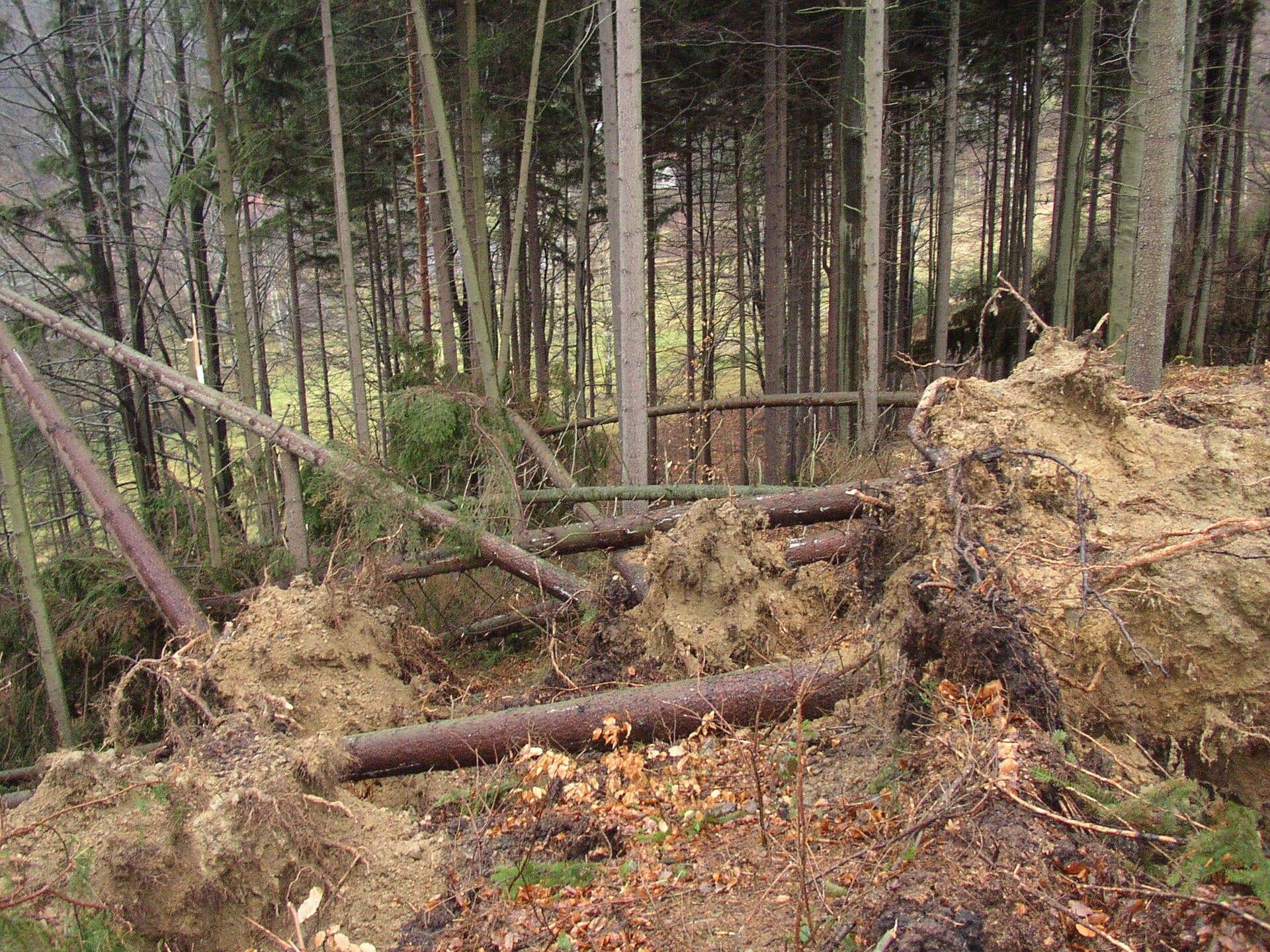
Closed spruce canopy lost to the 2018 Vaia storm across about 32 by 33 kilometres of Trentino, from an exact anniversary scene pair with a full-season control.

- Location
- Val di Fiemme, Val di Fassa and Paneveggio, Trentino
- Area
- About 32 by 33 kilometres, 1,219 km² of forest observed
- Record
- Storm 29 October 2018, anniversary pair 27 August 2018 and 2019
- Deliverables
- Patch-level canopy loss map, patch count and size, pre-storm control
The problem
A quarter of Trentino’s forest road network was damaged, stumpage had fallen 69 per cent, and the emergency mapping activation covered about 4,000 of 42,525 damaged hectares.
What we did
An exact anniversary pair, 27 August 2018 against 27 August 2019, restricted to ground that was closed forest canopy before the storm, with a second pre-storm pair as the control.
The result
9,937 hectares of lost canopy in 1,903 patches against 543 hectares from the control, at the scale a replanting and road programme is planned on.
The Objective
Forest services salvaging windthrown spruce measure efficiency in timber value recovered before the wood degrades. On 29 October 2018 the Vaia storm flattened 42,525 hectares of forest, and the stumpage price for spruce fell 69 per cent. Spruce sapwood stains within months of felling, so salvage is a race against the timber’s own value. Access was the binding constraint: about 1,200 kilometres of Trentino’s 5,000 kilometre forest road network was damaged, and the province programmed more than 1,600 kilometres of road restoration plus 80 kilometres of new road to reach felled stands. Sequencing that work requires a patch-level map of lost canopy across the whole damaged area, where the emergency mapping activation covered about 4,000 hectares.
Anniversary Pair and Canopy Mask
The platform analysed the Val di Fiemme, the Val di Fassa and Paneveggio, about 32 by 33 kilometres of Trentino holding several of the worst hit valleys.
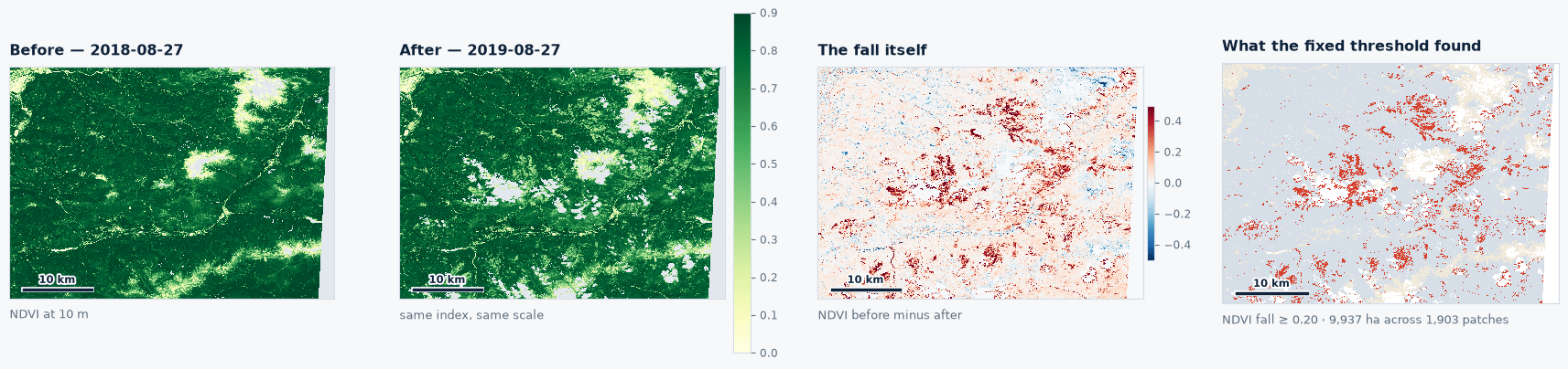
- Anniversary pair: 27 August 2018 against 27 August 2019, same day of year, same solar geometry, same phenological stage, both scenes under 5 per cent cloud.
- Additional post-storm scenes: 28 June 2019 and 23 July 2019.
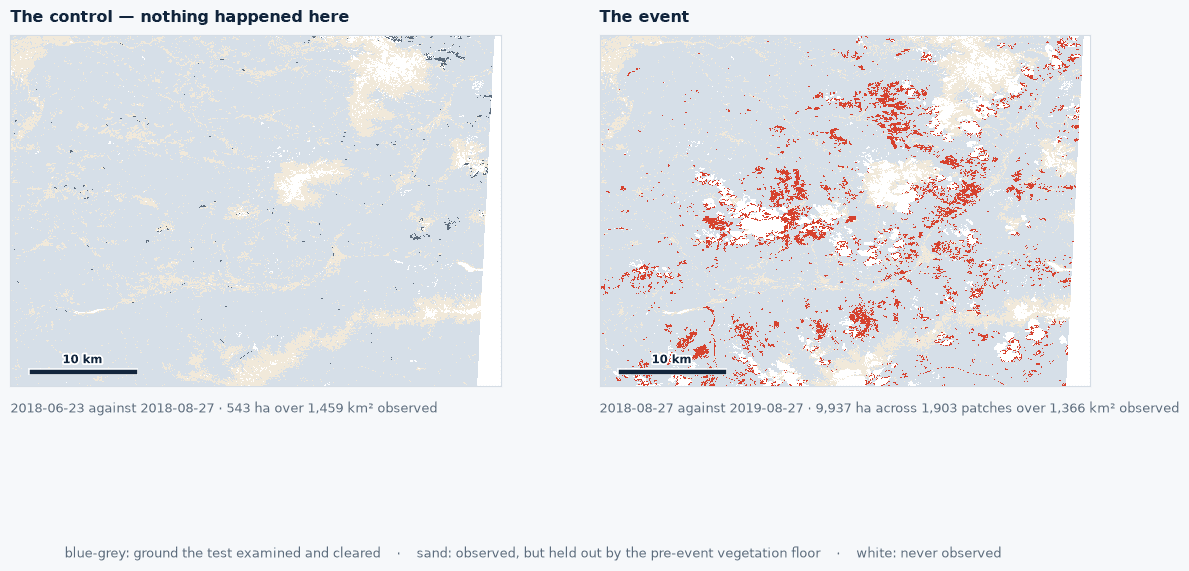
- Control: 23 June against 27 August 2018, a full alpine growing season in which nothing happened.
- Scoring mask: ground that was closed forest canopy before the storm, excluding alpine meadow, scree and rock.
Ground counts as lost where the vegetation index falls past a fixed threshold over that canopy mask. In terrain this steep, a matched anniversary removes the shadow shift that a month’s difference in sun elevation produces in narrow valleys. Published research on this event converges on the same window: a 2021 study using continuous change detection across six regions found reliable detection from seven to twelve months after the storm.
Canopy Loss Findings
The pipeline returned the anniversary figure at eighteen times the control.
- Control, 23 June against 27 August 2018: 543 hectares, largest patch 31 hectares.
- 28 June 2019, 8 months after the storm: 13,785 hectares in 3,050 patches, largest 488 hectares, over 1,265 km² of forest observed.
- 23 July 2019, 9 months after: 12,449 hectares in 2,539 patches, largest 492 hectares.
- 27 August 2019, the anniversary, 10 months after: 9,937 hectares in 1,903 patches, largest 301 hectares.
The distribution matches the event: Vaia knocked out hundreds of stands across dozens of valleys rather than carving one scar. The measured area falls through the summer of 2019 as grass and shrub colonise the windthrow, so the anniversary pair is both the most conservative figure and the only one where phenology is matched.
Published Context
- Forest destroyed or heavily damaged nationally: 42,525 hectares across 494 municipalities, from field survey and helicopter overflight harmonised centrally.
- Trentino-Alto Adige share: about 22,000 hectares.
- Trento province, 2024 harmonised stocktake: about 11,500 hectares.
- Timber felled: 8.5 to 9 million cubic metres.
- Peak gust: 192 km/h on Monte Cesen.
The analysis box covers several of the worst hit valleys rather than the province, so the provincial stocktake is context for the measured figure. No official hectare figure exists for the Val di Fiemme alone. By the summer of 2019 Trentino had moved 2.1 million cubic metres to market, so cleared and flattened ground both count in the 9,937 hectares. The record measures canopy area; volume depends on stand age, density and species.
Operational Utility
The anniversary map was in the archive ten months after the storm, while the salvage programme still had two years to run. A forest service sequencing 1,600 kilometres of road repair against a depreciating asset ranks stands by patch across the whole damaged area and plans replanting and protection forest work on the same map. The same anniversary comparison run each summer tracks the bark beetle outbreak that followed, which by 2024 had taken roughly as much forest again.
Run this on your own ground
Draw an area of interest, pick the dates, and the same analysis runs against the archive over your sites.
References
- Chirici G., Giannetti F., Travaglini D. et al. (2019). Stima dei danni della tempesta Vaia alle foreste in Italia. Forest@ 16, 3 to 9. doi.org/10.3832/efor3070-016
- Ministero dell'agricoltura, della sovranità alimentare e delle foreste, Mappatura delle superfici forestali danneggiate dalla tempesta Vaia.
- Giannetti F. et al. (2021). Estimating VAIA windstorm damaged forest area in Italy using time series imagery and continuous change detection algorithms. Forests 12(6), 680. doi.org/10.3390/f12060680
- Economic impacts of forest storms: taking stock of the after-Vaia situation of local roundwood markets in northeastern Italy (2021). Forests 12(4), 414. doi.org/10.3390/f12040414
- Nardi D., Finozzi V., Battisti A. (2022). Danni da vento amplificano un attacco incipiente di bostrico dell'abete rosso nelle Alpi Meridionali. L'Italia Forestale e Montana 77(1), 23 to 34. doi.org/10.36253/ifm-1617
- European emergency mapping service, activation EMSR334, wind storm in north-east Italy, 7 November 2018.
More case studies
Storm Johannes Stand Ranking From Sentinel-1 and Sentinel-2 Across 323 Swedish Conifer Stands
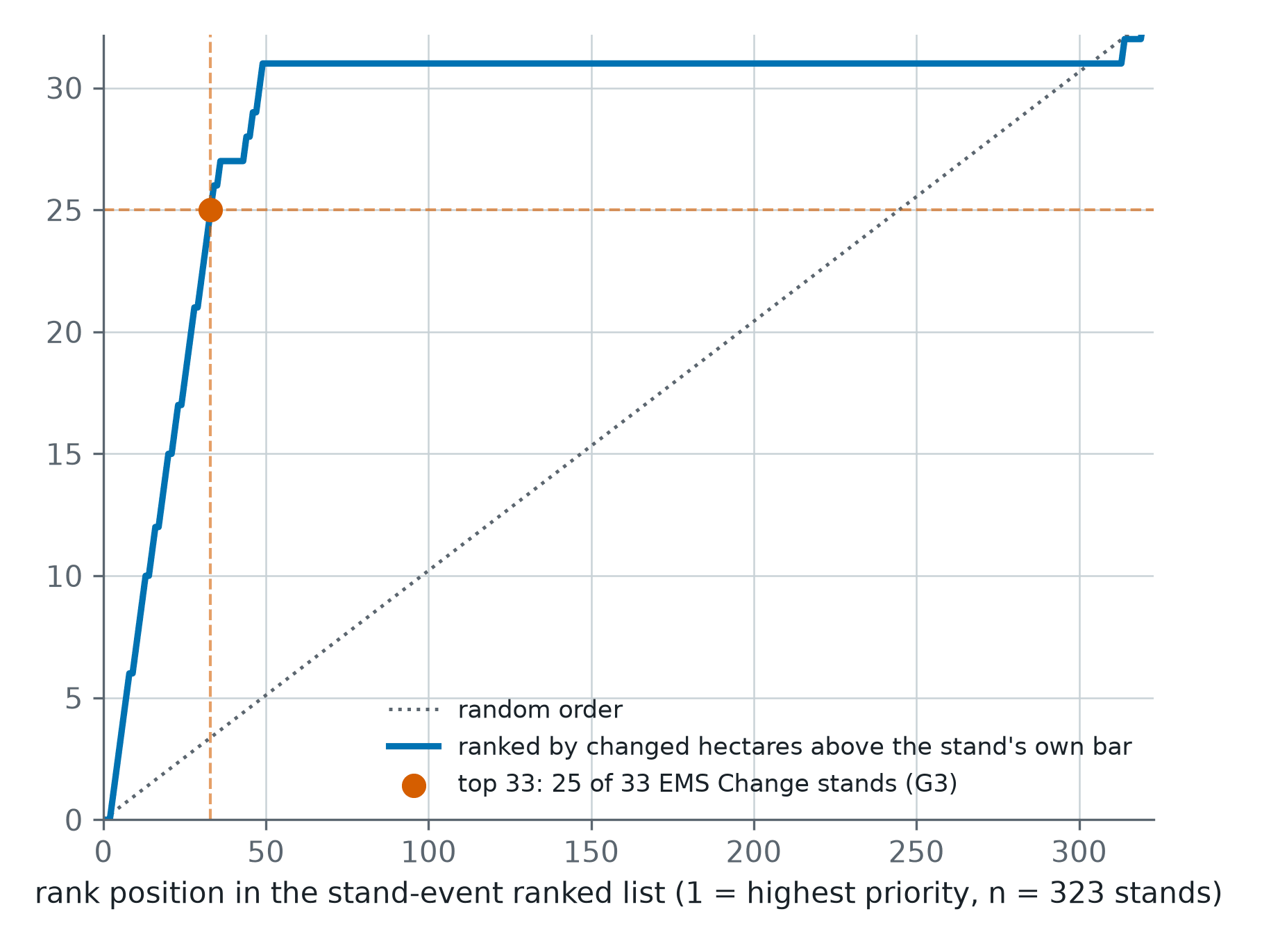
A post-storm ranking of 323 one-hectare conifer stands in central Sweden, each read from Sentinel-1 and Sentinel-2 against its own quiet years and scored against Copernicus EMS grading.
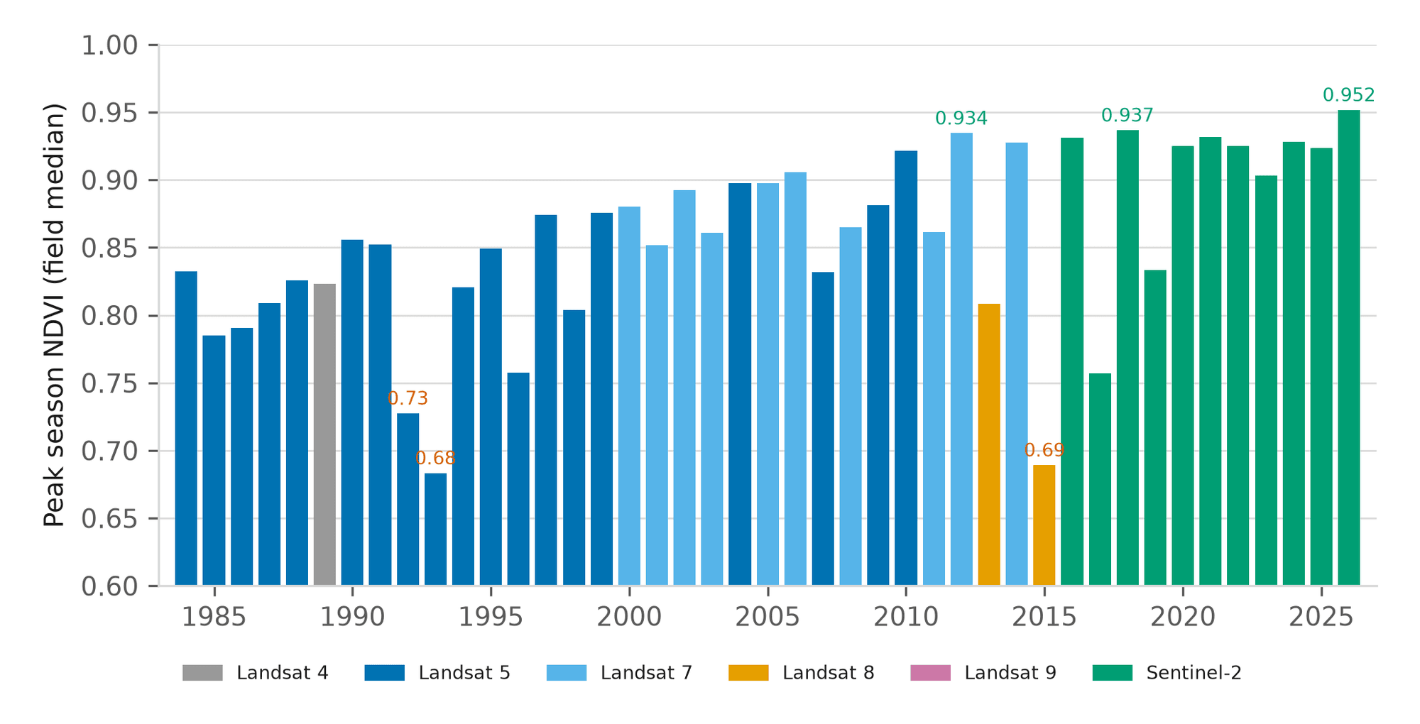
Forty-Three Seasons of a Nebraska Pivot and Management Zone Delineation
A 43-year canopy baseline for one centre pivot near Seward, Nebraska, and a three-tier management zone map built from vegetation, terrain and radar moisture.
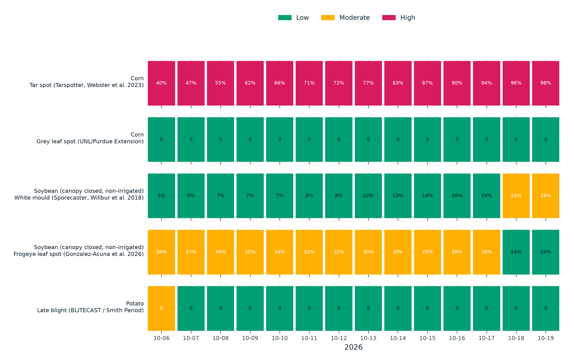
Season Brief and Fourteen-Day Disease Forecast for a Kansas Corn Pivot
A 184-day season brief for a 61-hectare corn pivot in western Kansas against its own 10-year normal, with five published disease models run on the field's own 14-day forecast.