
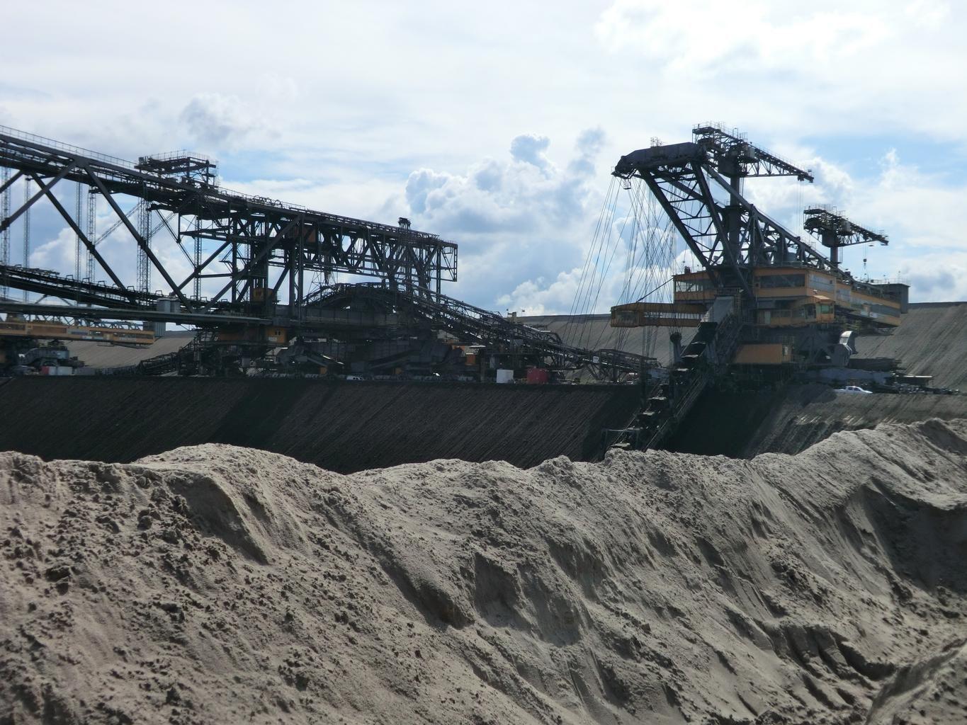
Mine Footprint and Disturbance
Available on requestMap and quantify ground disturbance across open pits, waste rock dumps, and tailings boundaries. By defining two dates, the pipeline maps the operational footprint and calculates the exact spatial change. Both scenes are aligned to a common grid, ensuring changes are mathematically differenced rather than visually estimated. The registration offset applied between scenes is explicitly documented in the final output.
Built for operators reporting surface disturbance, closure teams tracking rehabilitation, and investors verifying site activity independent of company disclosures.
Core Capabilities
Measurable Change
Scenes are aligned to a single grid and scale to calculate exact spatial differences.
Full Provenance
Every record includes the offset applied between scenes and explicit source naming.
Custom Timelines
Define specific reporting periods, permit dates, or asset acquisition dates.
Inputs and Deliverables
Inputs Required
- Site or lease boundary (GeoJSON, zipped shapefile, or KML).
- Two target dates or a defined reporting period (our team will select the clearest scenes).
Deliverables
- Cloud-Optimized GeoTIFF disturbance maps for each date.
- GeoJSON FeatureCollection detailing the spatial change for your GIS.
- Provenance record specifying scene IDs, methodology version, and offset metrics.
Methodology and Sources
Public Sources: Copernicus Sentinel-2, Landsat.
Commercial Sources: High-resolution imagery via our partner SkyFi (on request).
Limits of Detection
Analysis is strictly limited to surface disturbance. Underground workings and wall stability are not measured.
The pixel size of the selected scene dictates the minimum workable area that can be isolated from surrounding terrain. If the open archive resolution is insufficient for your site, we will scope commercial imagery via SkyFi.
Freshly exposed earth, such as an active working pit, provides the highest contrast and strongest detection baseline.
Workflow
Submit Boundaries
Provide the target lease, prospect, or site geometry.
Scene Selection
Specify the timeline. We identify the clearest available scenes.
Mapping and Differencing
Disturbed ground is mapped for both dates and differenced on a unified grid.
Delivery
You receive the GeoTIFFs, change vectors, and provenance documentation.
Use Cases
Mine Operators
Maintain a verifiable timeline of pits, dumps, and tailings limits.
ESG and Closure Teams
Report audited ground disturbance and monitor ongoing rehabilitation.
Investors and Lenders
Verify site activity and asset progression between reporting cycles.
Related Solutions
Tailings and Acid Drainage Screening
Map moisture and sulfate shifts on embankments and track iron precipitate in downstream channels.
Methane Screening Near Operations
Outline point-source methane plumes over designated facilities using hyperspectral archives.
Alteration Mineral Mapping
Classify advanced argillic, argillic, phyllic, propylitic, and carbonate alteration across your licence area.
Submit a Licence Area
Provide the boundary of one licence or one belt. Our team runs the alteration map and the district score over it and reviews the results with your geologists.