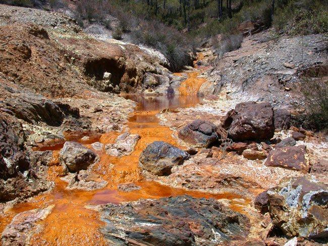
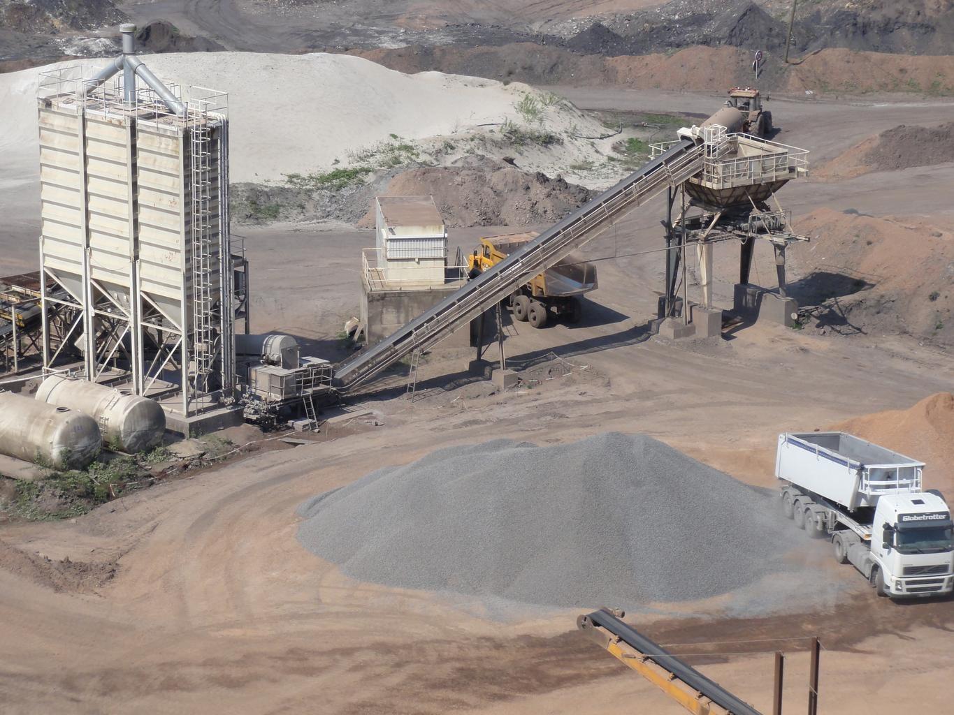
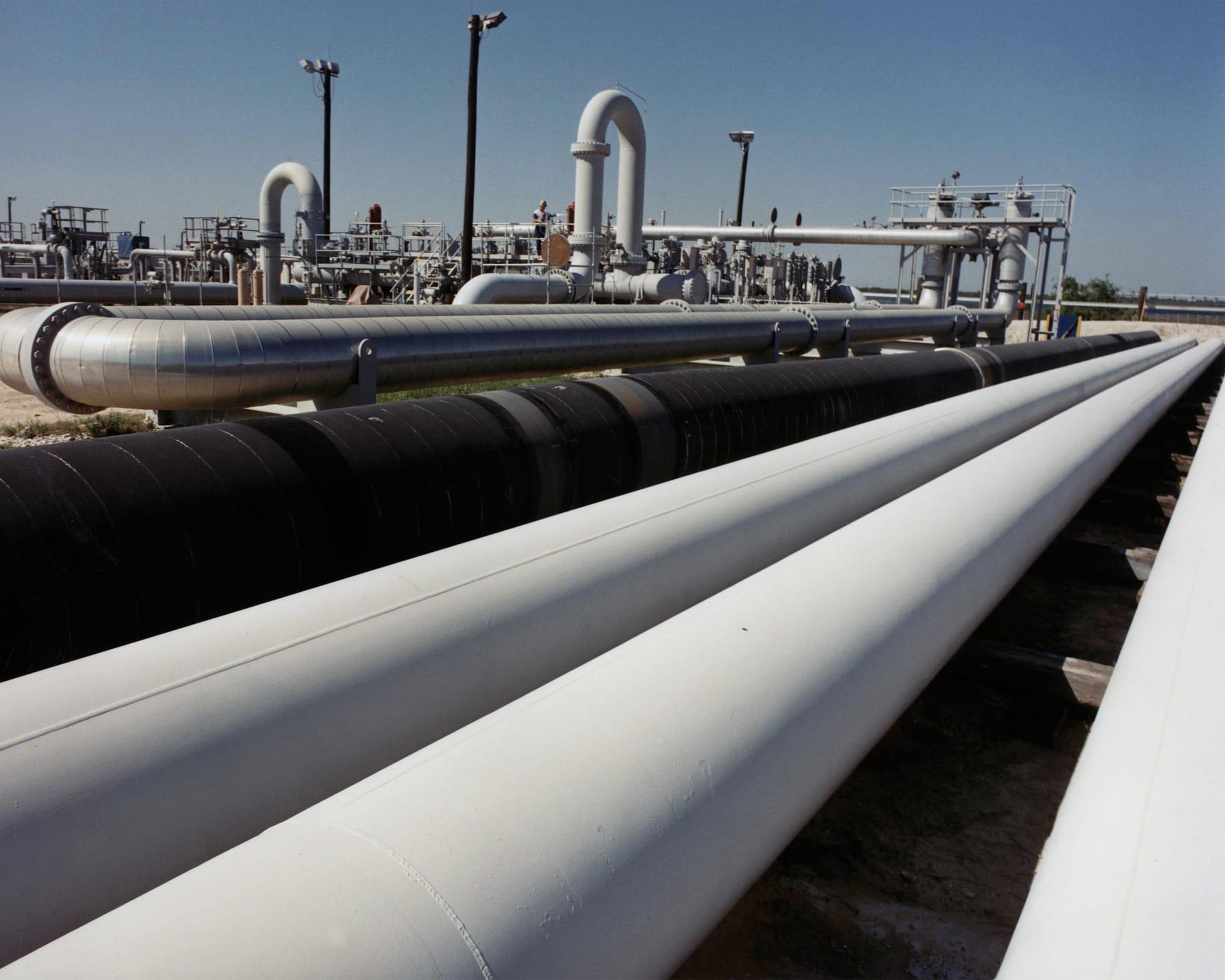
矿山足迹与扰动
露天采坑、废石堆与尾矿边界,在同一网格上跨期追踪。
多时相地表扰动、尾矿边界与废石足迹,跨期测量。
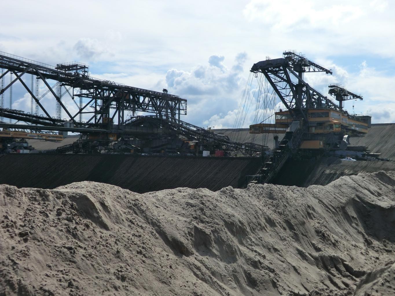
Open-cast workings. Footprint boundaries are differenced between dates.
它能发现什么
它检测什么。
| 材料 | 典型产出环境 | 可能的混淆因素 |
|---|---|---|
| Mining Surface Disturbance Footprint | Open-pit and underground mine sites globally | Natural seasonal vegetation dieback in surrounding wildlands |
方法
工作原理。
输入校准反射率,每个像元都对照公开参考库进行拟合。
Pairing the two dates
Both scenes are placed on a common grid. Differencing across sensors is refused, and so is differencing a result from one engine against a result from another.
Differencing with the offset exposed
Raw differencing on layers that carry an absolute scale on both dates. The scene-wide median offset is shown and can be removed, so a seasonal brightness shift is visible as such rather than mistaken for new ground.
Segmentation into facility classes
Disturbance is split into pit, waste rock, ponds and infrastructure by shape and spectrum together.
Overlay against the permitted boundary
Polygons are intersected with the boundary you supply and reported inside and outside, in km² to one decimal. An all-empty difference raises rather than reporting that nothing changed.
技术规格
您得到什么,它在什么数据上运行。
所需环境条件
Method and checks are documented in Axine Applied Spectroscopy Paper #1 · Section 10.2.
适用边界
Surface disturbance only. Underground workings and wall stability sit outside what it reaches.