
Wildfire Burn Severity & Recovery
Burn severity between paired dates, with char, ash, soil and green cover separated underneath, plus recovery across later dates.
Burn severity between paired dates, with char and ash unmixed so a partly burned pixel reads as partly burned.
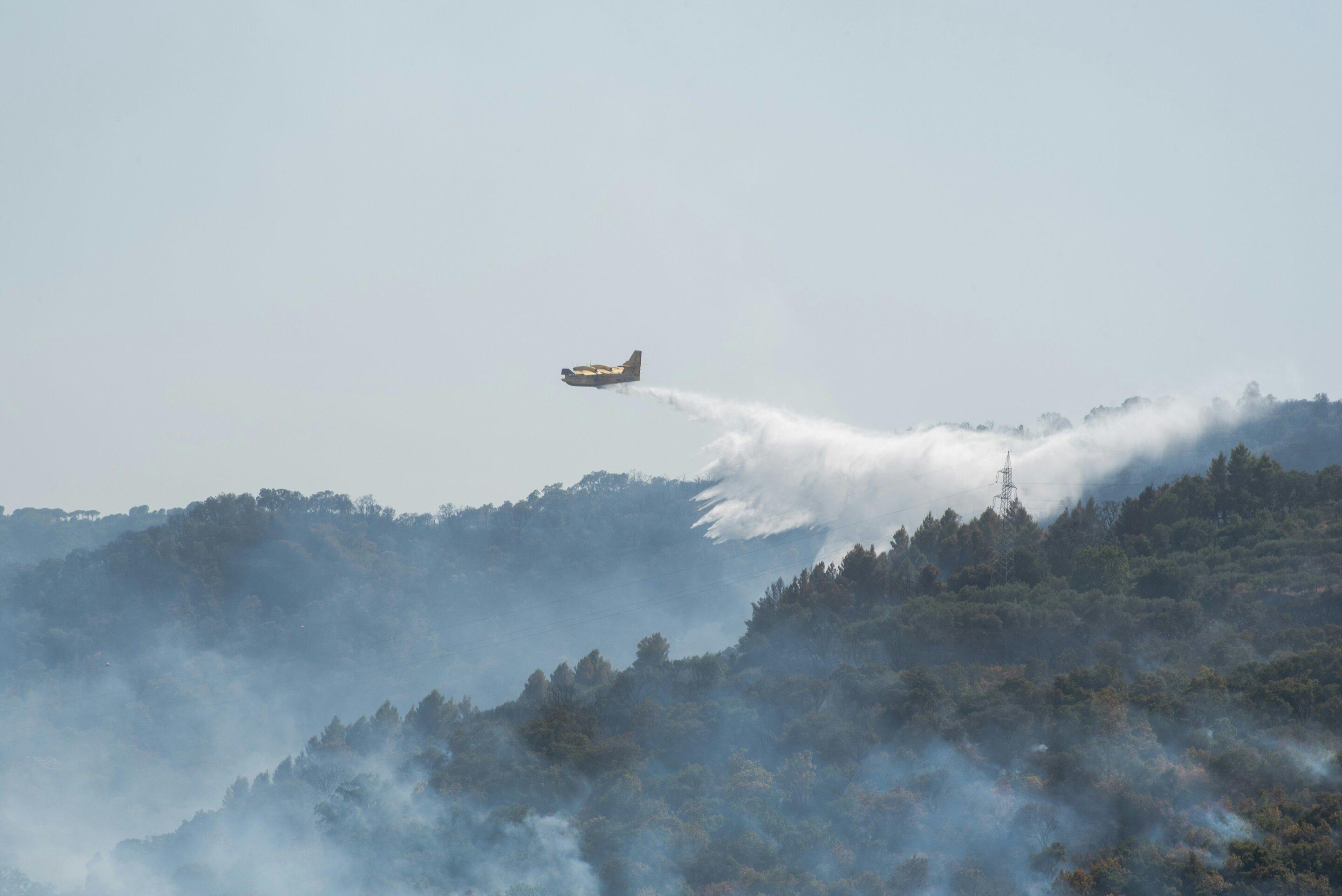
Differenced normalised burn ratio between a pre-fire and a post-fire scene, with the recovery series alongside.
WHAT IT FINDS
What it detects.
| Material | Typical setting | What can confuse it |
|---|---|---|
| Wildfire Burn Severity | Post-fire forest landscapes, chaparral, and savannahs | Pre-existing drought stress and agricultural harvesting |
METHOD
How it works.
Calibrated reflectance goes in, and every pixel is fitted against a public reference library.
Pairing the two dates
The pre-fire and post-fire scenes are placed on a common grid. Pairing across different sensors is refused, and so is pairing results that came from different engines, because the difference would be measuring the method rather than the ground.
Burn ratio, absolute and relative
Computes the standard differenced burn ratio and the relativised version, which matters where pre-fire cover was already sparse.
Char, ash, soil and green fractions
Burned pixels are decomposed into fractions rather than assigned a single label, so a partially burned pixel reads as partially burned.
Severity classes
The landscape is binned into unburned, low, moderate and high severity using published thresholds. A difference that comes out entirely empty raises an error instead of reporting that nothing changed.
SPECIFICATIONS
What you get, and what it runs on.
Conditions it needs
Method and checks are documented in Axine Applied Spectroscopy Paper #4 · Section 5.3.
Scope
Timing decides the answer, so the interval between the fire and the scene is reported with the layer.
RUN IT OVER YOUR GROUND
Run this layer over your own area.
Order processing over your area of interest, or a tasked capture where the archive has nothing usable. Imagery access is never charged for: a plan buys the models.
COMPLEMENTARY ANALYTICS
Related layers.
Canopy Stress Screening
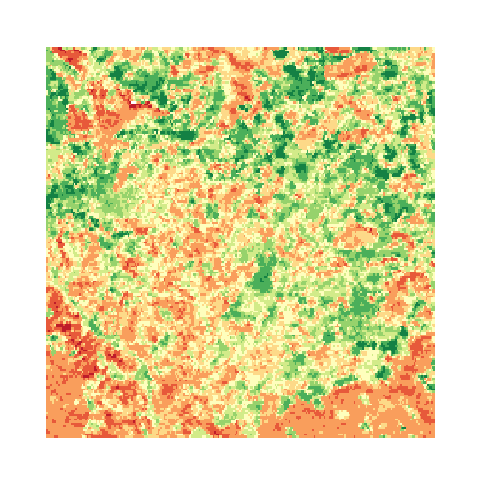
Foliar water content, measured against a dry-matter baseline and compared across acquisitions.
Canopy Chlorophyll & Red-Edge
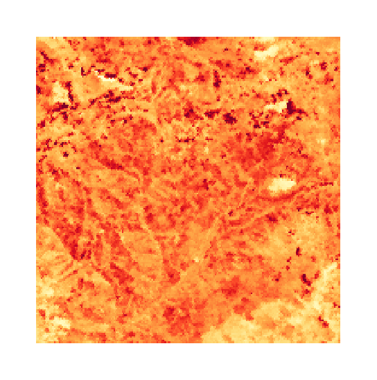
Red-edge position, which follows canopy pigment. Refused on sensors that cannot resolve it.
Selective Logging Audit
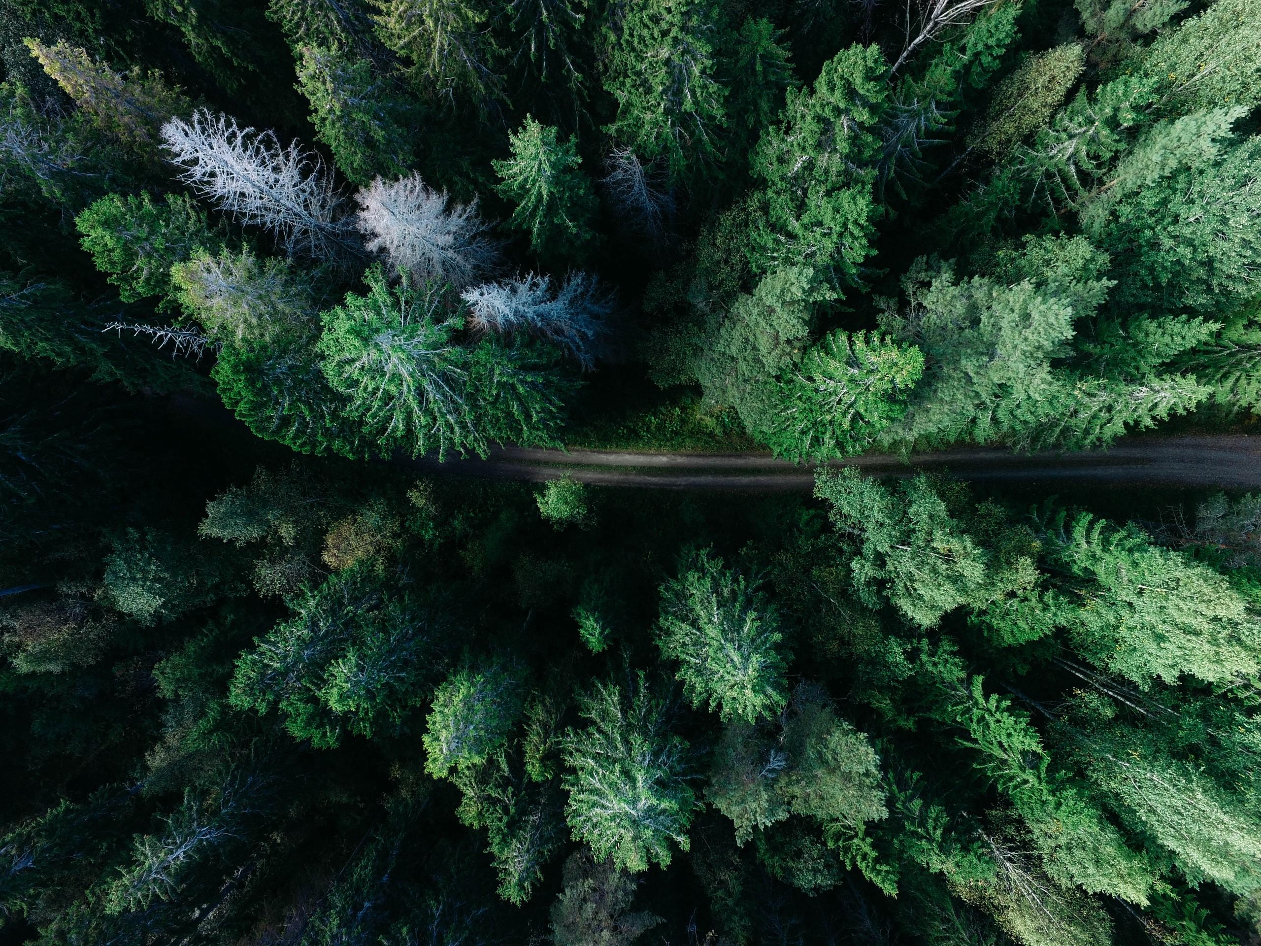
Sub-pixel unmixing for skid trails, canopy gap disturbance and harvest compliance over a concession.