
Classificação de Prospectividade Distrital
Uma superfície de probabilidade em escala distrital contra a qual você pode classificar alvos, com o esquema de validação cruzada declarado na camada.
Pontuação regional de probabilidade para sistemas hidrotermais, respaldada por validação cruzada leave-one-region-out.
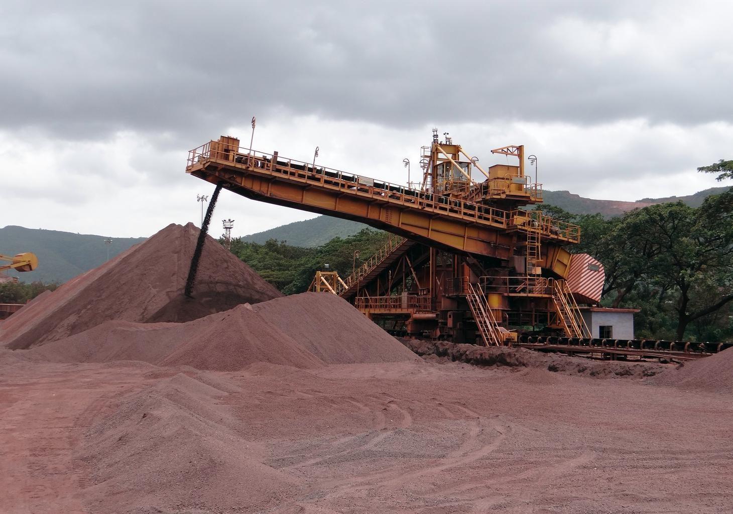
Open-pit iron ore operations. District scores rank ground like this before anyone commits to it.
O QUE O SENSOR VÊ
O que esta camada procura.
A referência de laboratório de cada material, e o que o espaçamento de bandas do sensor captura dela. A faixa sombreada marca o intervalo que o método lê.
O QUE ELA ENCONTRA
O que ela detecta.
| Material | Contexto típico | O que pode confundi-la |
|---|---|---|
| Hydrothermal Core Complexes | Intrusive centers, volcanic calderas, and porphyry lithocaps | Extensive post-mineral volcanic cover |
| Structural Alteration Corridors | Regional faults, shear zones, and detachment systems | Quaternary colluvium in fault trenches |
MÉTODO
Como funciona.
Entra reflectância calibrada, e cada pixel é ajustado contra uma biblioteca pública de referência.
District alteration clustering
Pulls spatial clusters of advanced argillic, phyllic and gossanous pixels out of contiguous scenes.
Leave-one-region-out calibration
Whole geological provinces are withheld during fitting, so a score cannot borrow its evidence from a neighbouring pixel in the same district.
Label permutation as a negative control
Discrimination is retested against randomised occurrence coordinates. A model that scores well on shuffled labels is measuring the sampling, not the ground.
Score generation with provenance
The output is a continuous district score carrying its model version, its input set and its interval. Expert-system features are deliberately kept out of it, so the two engines stay independent.
ESPECIFICAÇÕES
O que você recebe, e sobre o que ela roda.
Condições de que precisa
Method and checks are documented in Axine Applied Spectroscopy Paper #1 · Section 5.1.
Escopo
Ranks where to look first from surface evidence, not what a target holds.
EXECUTE SOBRE O SEU TERRENO
Execute esta camada sobre a sua própria área.
Solicite processamento sobre a sua área de interesse, ou uma captura programada onde o acervo não tiver nada utilizável. O acesso às imagens de satélite nunca é cobrado: um plano compra os modelos.
ANALÍTICAS COMPLEMENTARES
Camadas relacionadas.
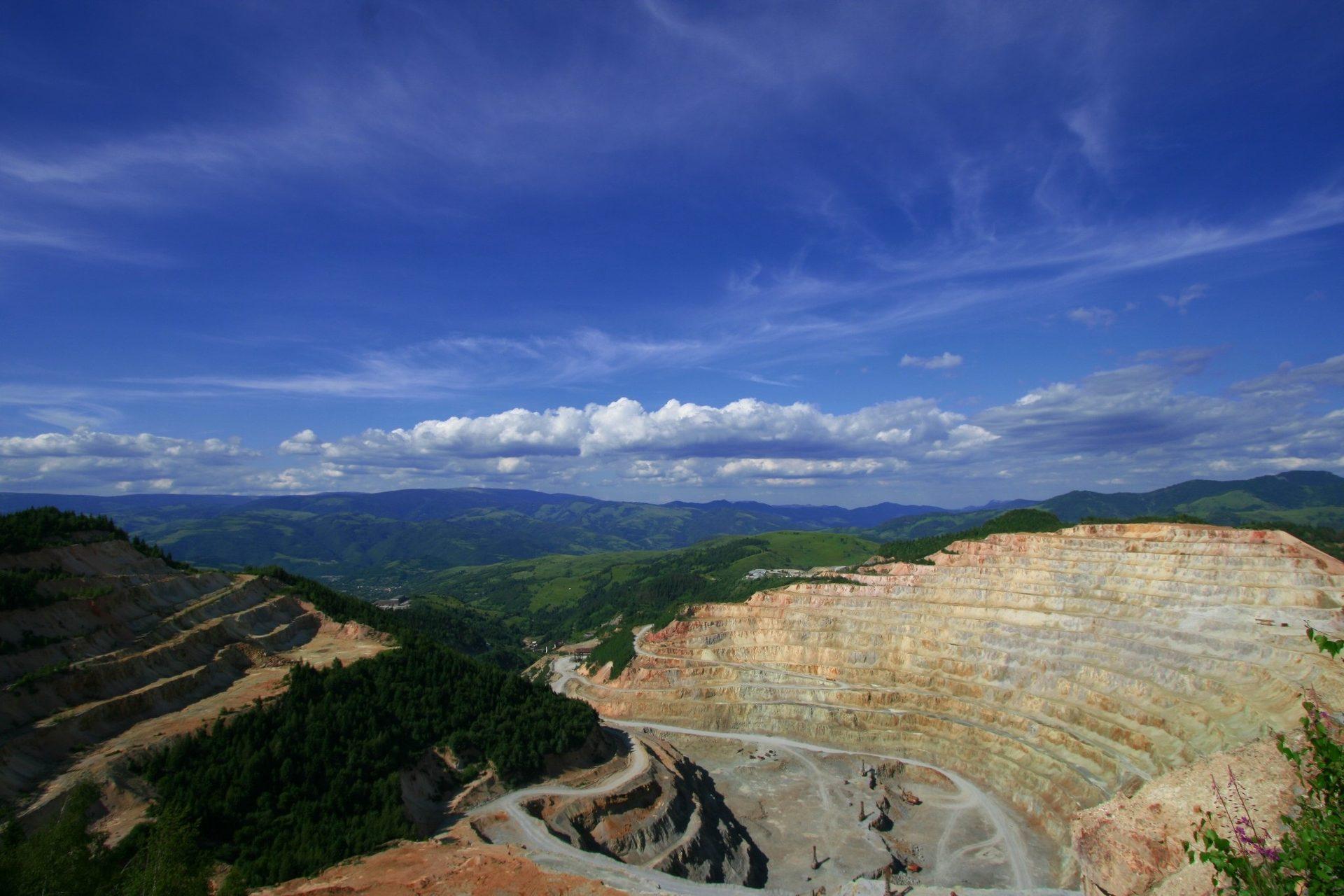
Mapeamento Mineral de Alteração
Mineralogia de alteração por pixel separando assembleias argílicas avançadas, filíticas e propilíticas.
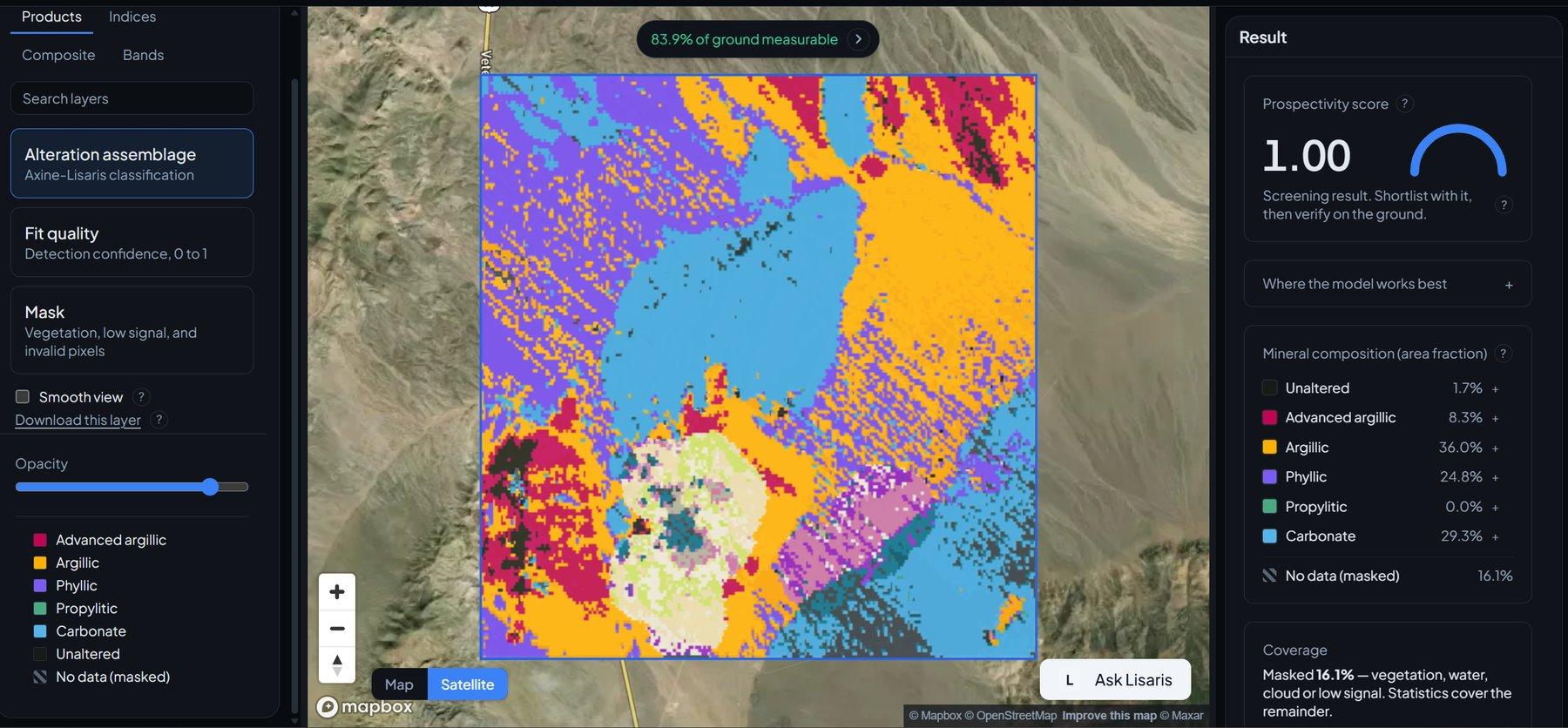
Detecção de Agrupamentos de Alteração
Agrupamento vetorizado que extrai os núcleos hidrotermais centrais e os nós a partir dos quais vale trabalhar para fora.
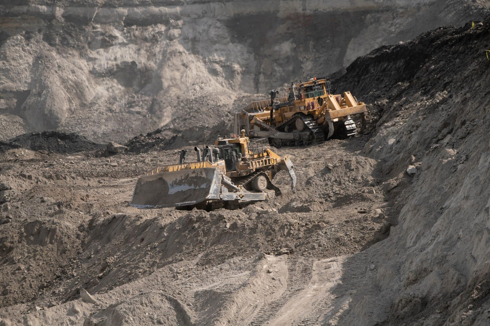
Vetorização de Pórfiro Cu-Au
Vetoriza rumo ao centro hidrotermal acompanhando como a composição da mica branca muda ao longo do distrito.