
Índice de Pegmatito de Lítio
Mica com lítio lida pela posição de sua absorção, que é o que separa um dique de lepidolita da mica branca comum.
Mapeia mica com lítio pela diferença entre sua assinatura e a da mica branca comum.
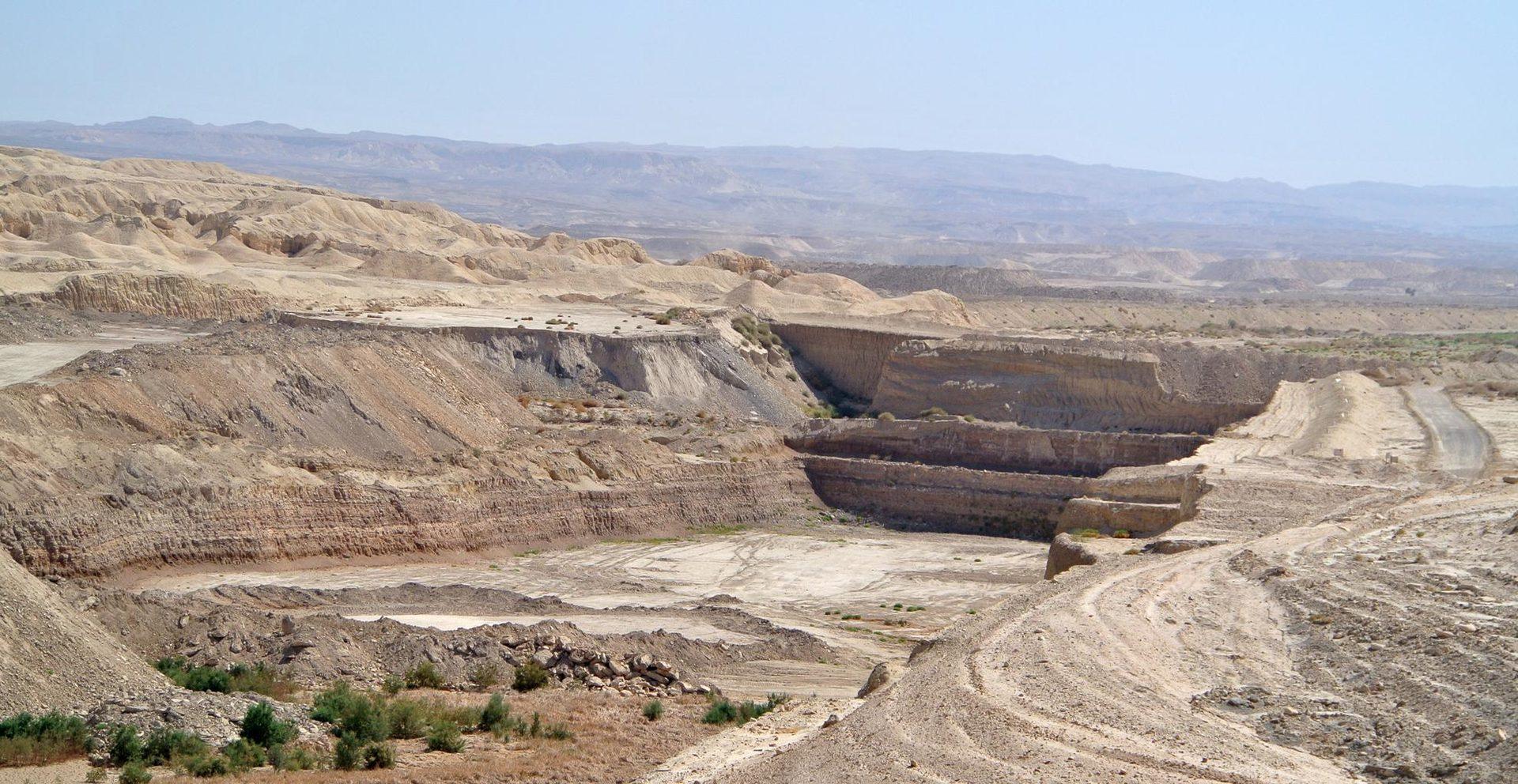
Open-pit mining in arid terrain, the kind of ground the index is built to screen.
O QUE O SENSOR VÊ
O que esta camada procura.
A referência de laboratório de cada material, e o que o espaçamento de bandas do sensor captura dela. A faixa sombreada marca o intervalo que o método lê.
O QUE ELA ENCONTRA
O que ela detecta.
| Material | Contexto típico | O que pode confundi-la |
|---|---|---|
| Lepidolite & Li-Muscovite | LCT pegmatite dykes and lithium granites | Ordinary white mica in barren granite |
MÉTODO
Como funciona.
Entra reflectância calibrada, e cada pixel é ajustado contra uma biblioteca pública de referência.
Continuum removal over the white-mica window
Continuum removal restricted to the narrow range where the mica signature sits.
Absorption position extraction
Locates the wavelength of the absorption minimum by fitting across neighbouring channels. Interpolation between band centres is not the same as resolving them, and the precision claimed here is bounded by the sensor sampling.
Dyke swarm delineation
Connects pixels whose absorption sits short of the ordinary white mica position along a common strike.
Evaluability masking
Alluvial sand, dry grass and shadow are removed. Dry grass matters more than it sounds: its cellulose absorption sits close enough to confuse a mica reading.
ESPECIFICAÇÕES
O que você recebe, e sobre o que ela roda.
Condições de que precisa
Method and checks are documented in Axine Applied Spectroscopy Paper #1 · Section 7.1.
Escopo
An indicator for lithium-bearing mica, not a grade estimate. Spodumene itself is not reliably separable.
EXECUTE SOBRE O SEU TERRENO
Execute esta camada sobre a sua própria área.
Solicite processamento sobre a sua área de interesse, ou uma captura programada onde o acervo não tiver nada utilizável. O acesso às imagens de satélite nunca é cobrado: um plano compra os modelos.
ANALÍTICAS COMPLEMENTARES
Camadas relacionadas.
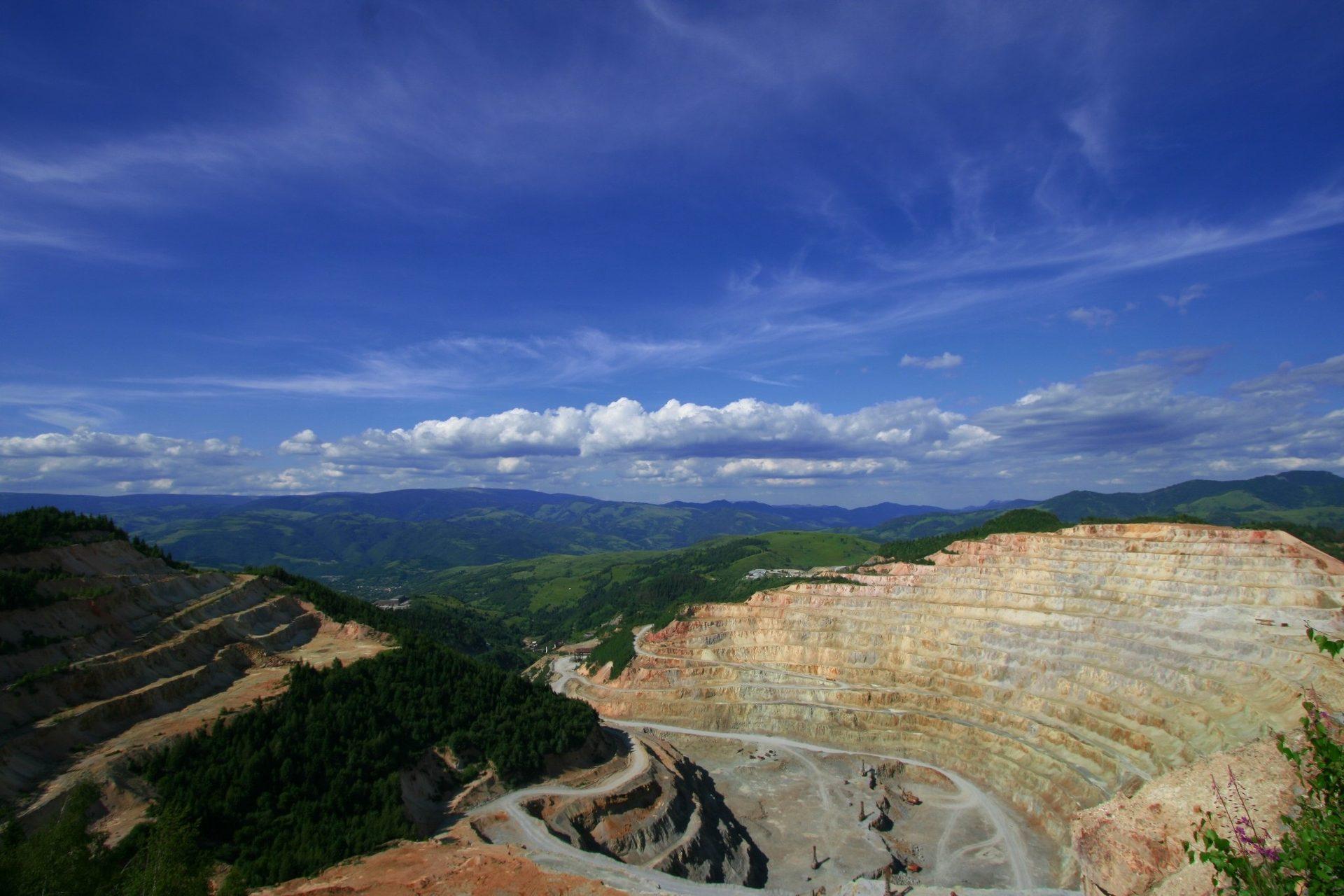
Mapeamento Mineral de Alteração
Mineralogia de alteração por pixel separando assembleias argílicas avançadas, filíticas e propilíticas.
Gossan e Especiação de Óxidos de Ferro
Separa hematita de goethita e reporta a leitura associada de ferro-hidroxila como classe férrica.
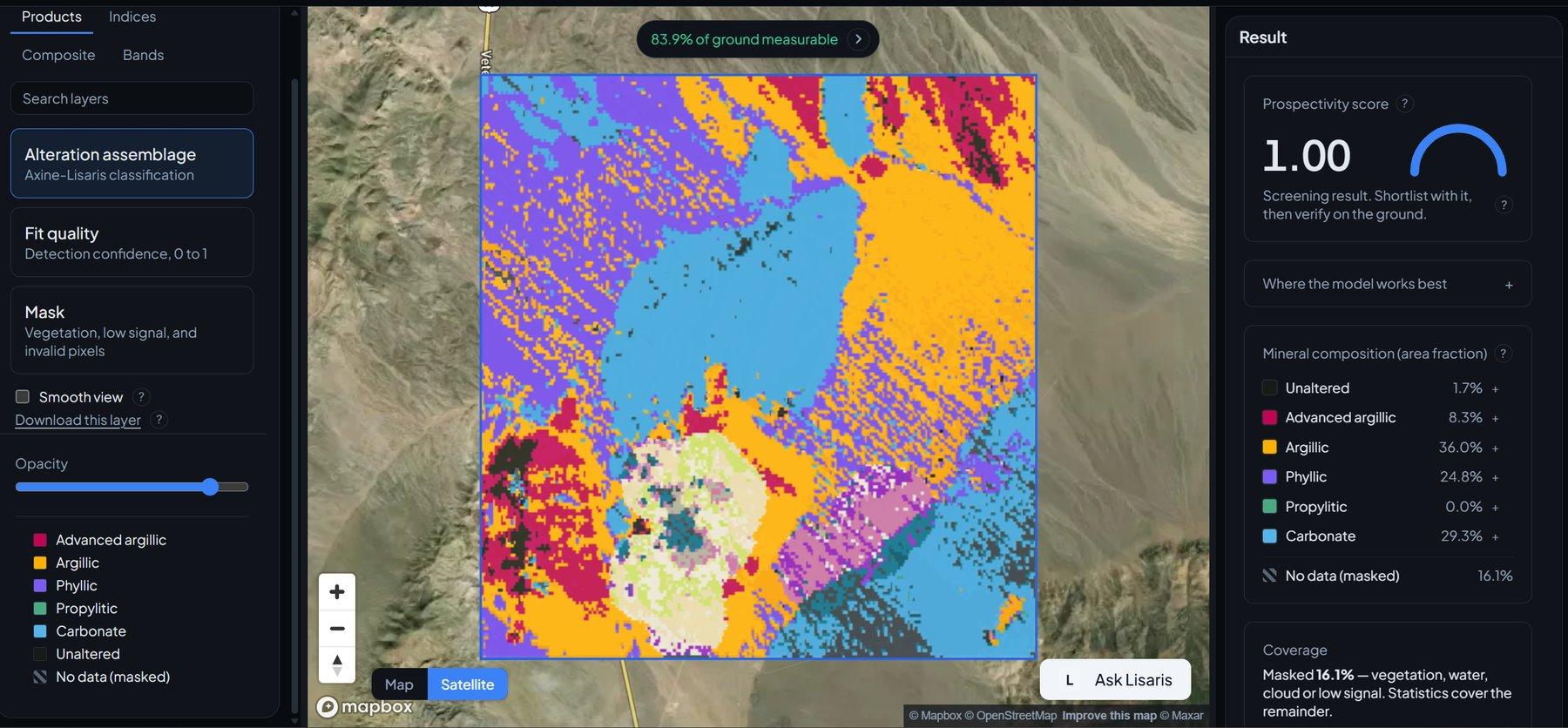
Detecção de Agrupamentos de Alteração
Agrupamento vetorizado que extrai os núcleos hidrotermais centrais e os nós a partir dos quais vale trabalhar para fora.