
Porphyry Cu-Au Vectoring
White mica composition mapped as a gradient, from the centre of the system out to its fringe.
Vectors toward the hydrothermal centre by tracking how white mica composition shifts across the district.
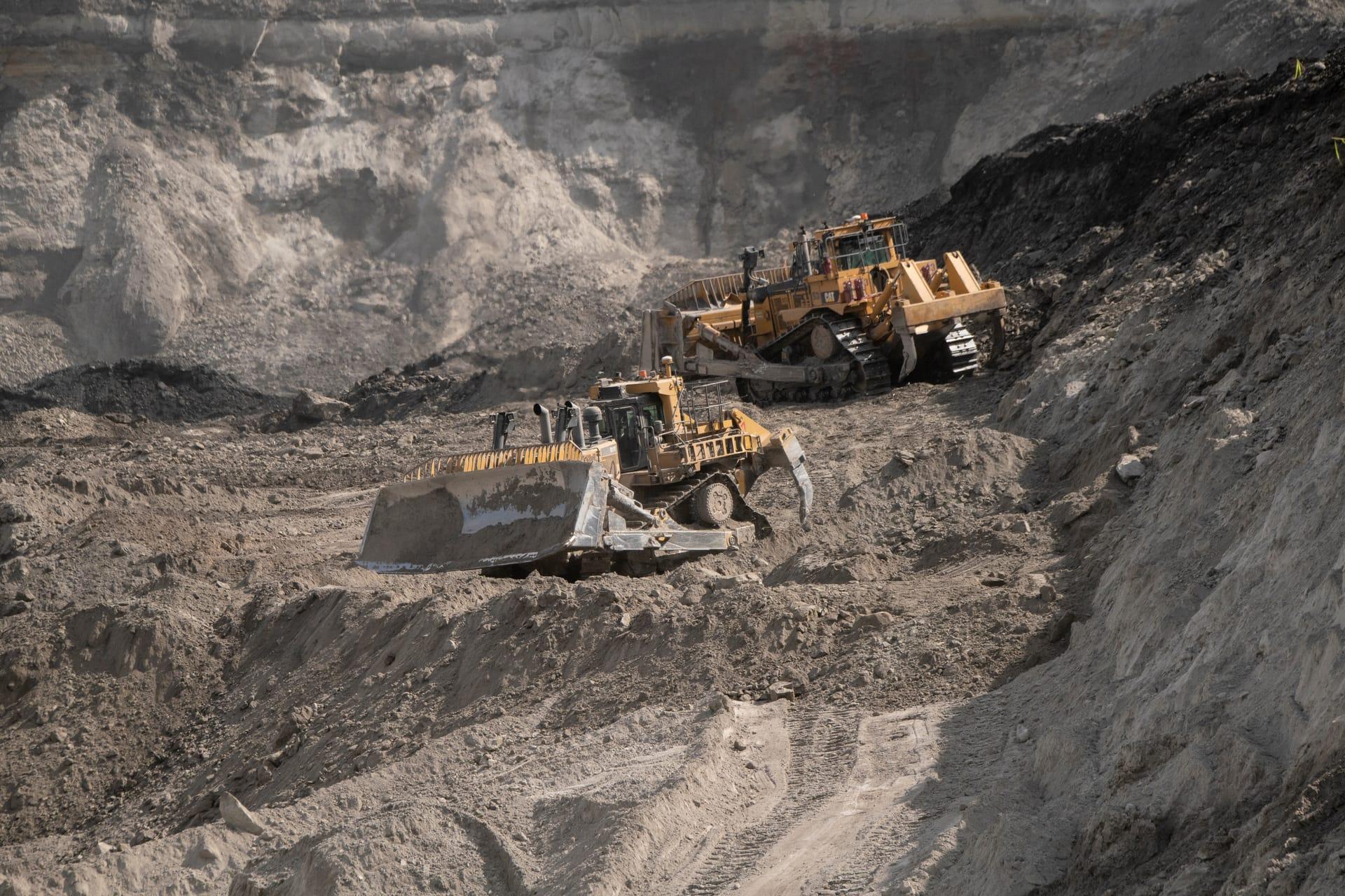
Vectoring gradient across the district, from muscovite at the centre grading to phengite on the fringe.
WHAT THE SENSOR SEES
What this layer looks for.
The laboratory reference for each material, and what the sensor's band spacing captures of it. The shaded band marks the range the method reads.
WHAT IT FINDS
What it detects.
| Material | Typical setting | What can confuse it |
|---|---|---|
| White Mica Compositional Continuum | Porphyry Cu-Au and Cu-Mo phyllic alteration envelopes | Kaolinite doublet masking sericite shoulder |
METHOD
How it works.
Calibrated reflectance goes in, and every pixel is fitted against a public reference library.
Polynomial fitting of the absorption minimum
The absorption minimum is fitted across neighbouring channels. Precision follows from how deep the feature is, so it is reported per pixel rather than quoted as a single figure.
Depth gate before position is trusted
The shift being measured is small, so it can only be told from noise where the absorption is deep enough. Shallower pixels are dropped rather than vectored.
Gradient mapping
Computes spatial gradients pointing toward the shorter-wavelength, higher-temperature end of the mica series.
Evaluability masking
Unaltered host rock and pixels with too little white mica are excluded and marked, not filled in.
SPECIFICATIONS
What you get, and what it runs on.
Conditions it needs
Method and checks are documented in Axine Applied Spectroscopy Paper #1 · Section 9.1.
Scope
Needs continuous white mica alteration and a strong signal. Weak ground is refused rather than vectored.
RUN IT OVER YOUR GROUND
Run this layer over your own area.
Order processing over your area of interest, or a tasked capture where the archive has nothing usable. Imagery access is never charged for: a plan buys the models.
COMPLEMENTARY ANALYTICS
Related layers.
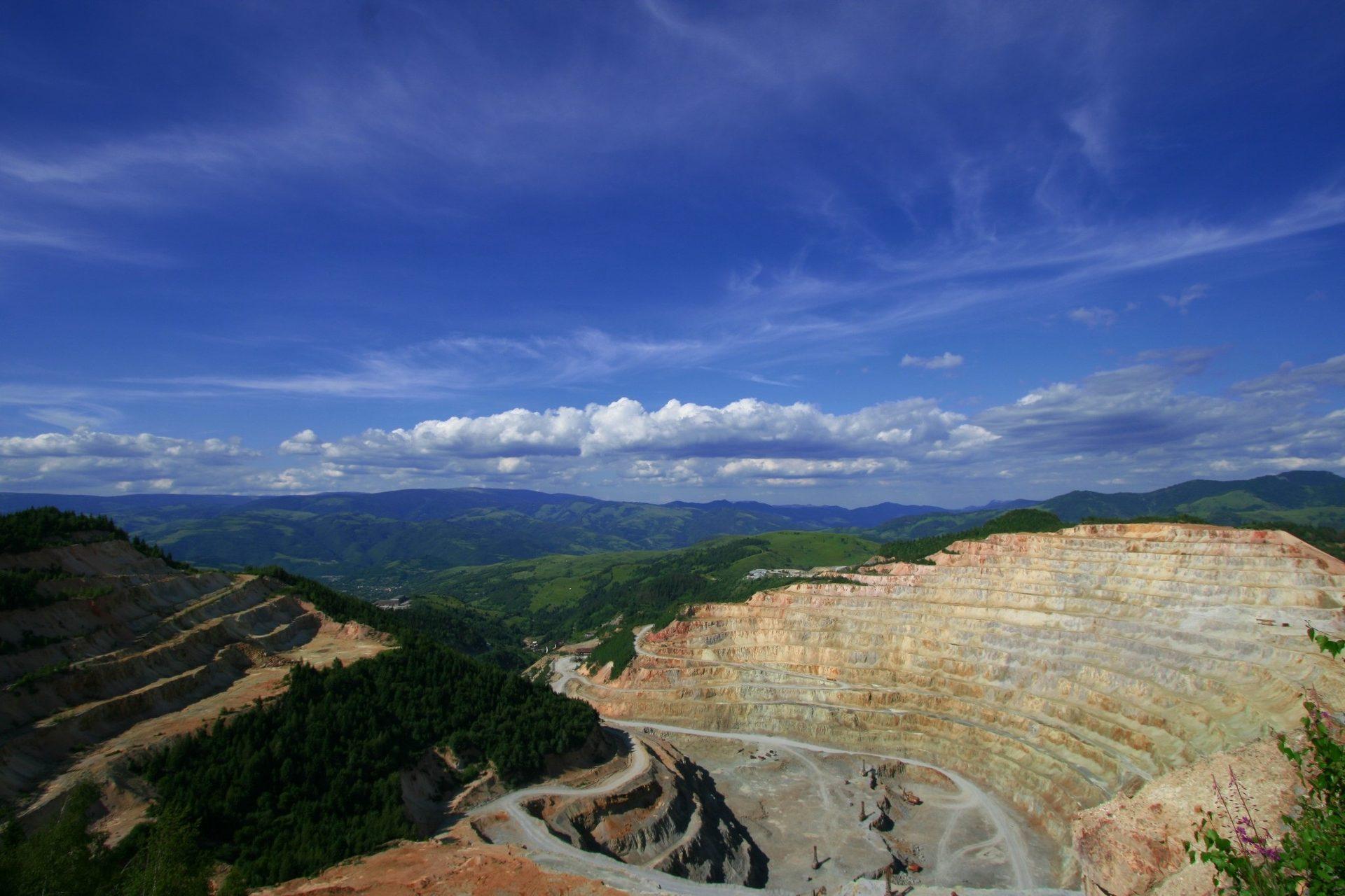
Alteration Mineral Mapping
Per-pixel alteration mineralogy separating advanced argillic, phyllic and propylitic assemblages.

District Prospectivity Ranking
Regional likelihood scoring for hydrothermal systems, backed by leave-one-region-out cross-validation.
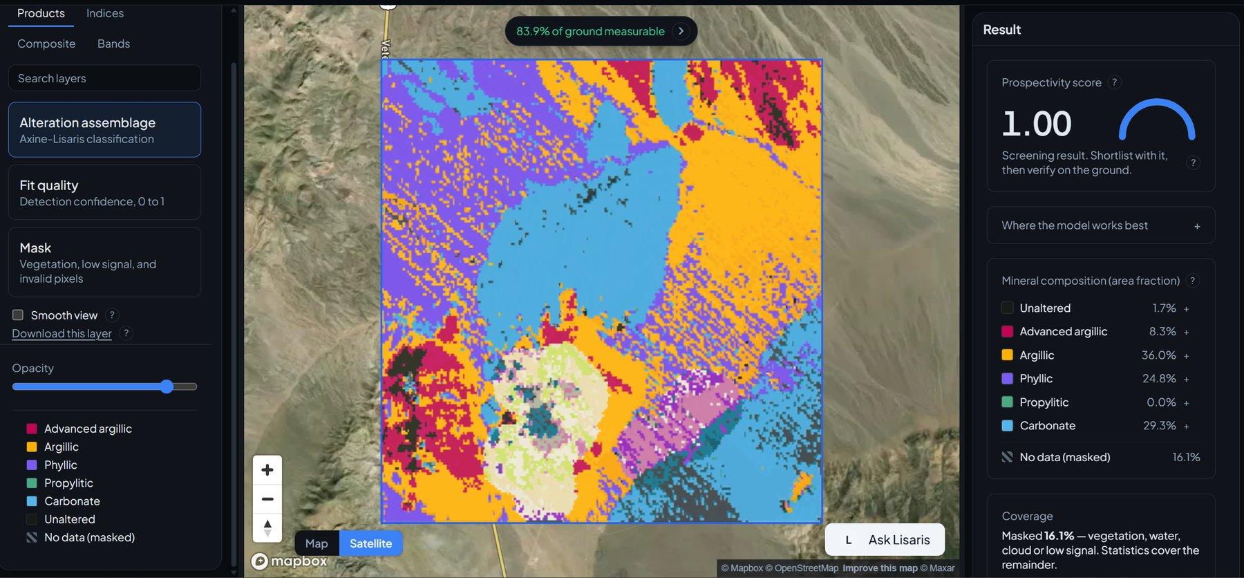
Alteration Cluster Detection
Vectorised clustering that pulls out the core hydrothermal hubs and the nodes worth working outward from.