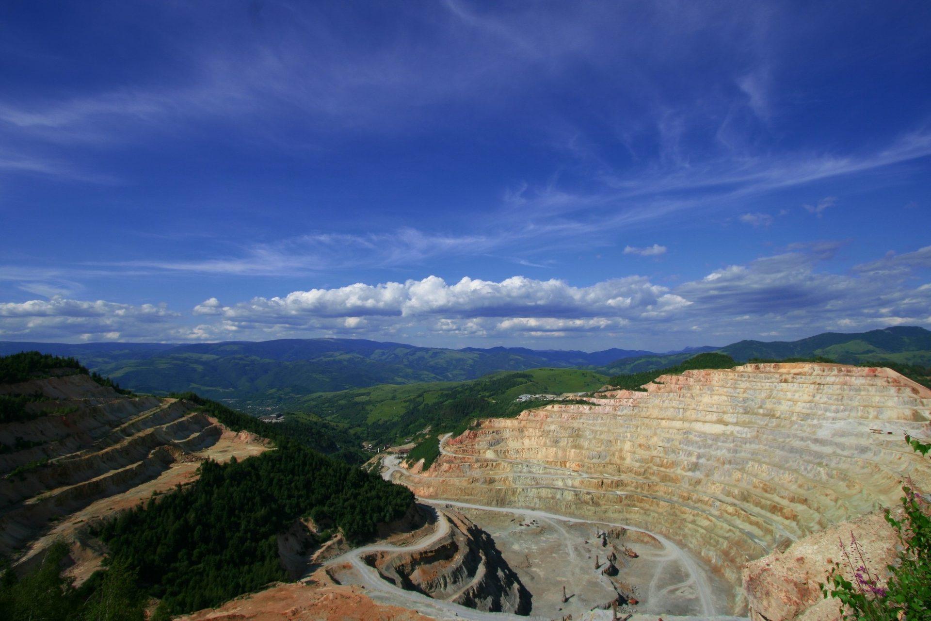
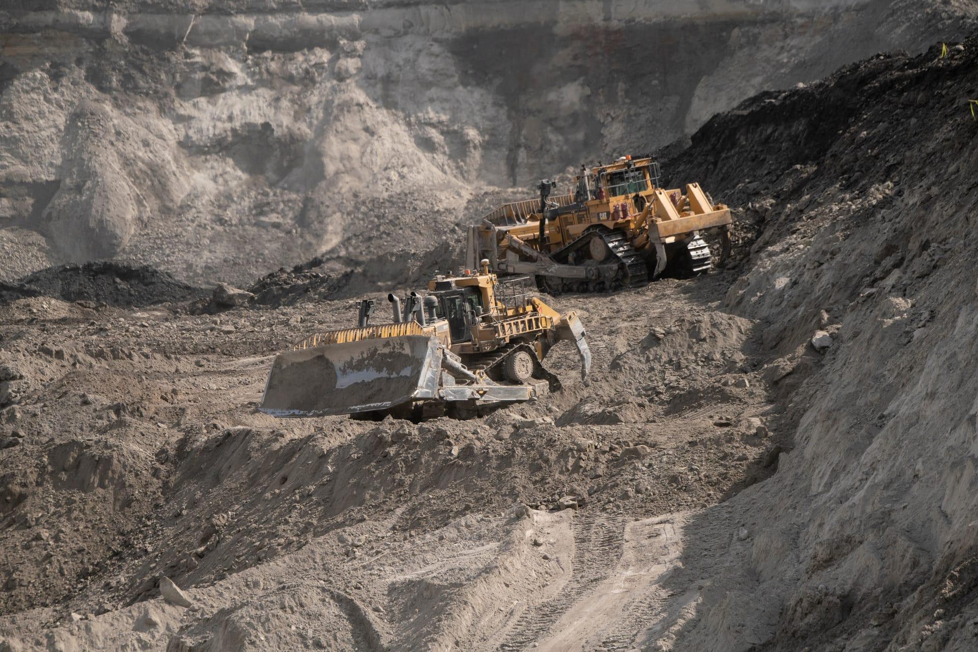
矿区成矿潜力排序
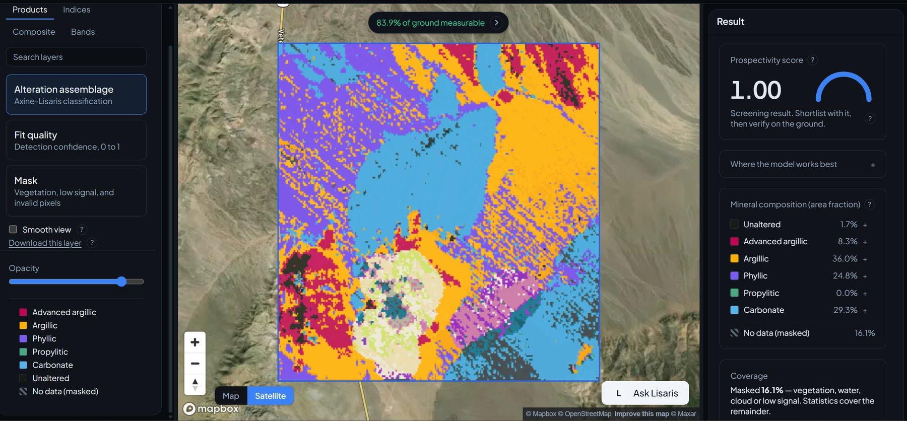
可用于目标排序的矿区尺度概率面,交叉验证方案直接标注在图层上。
面向热液系统的区域概率评分,采用留一区域交叉验证。
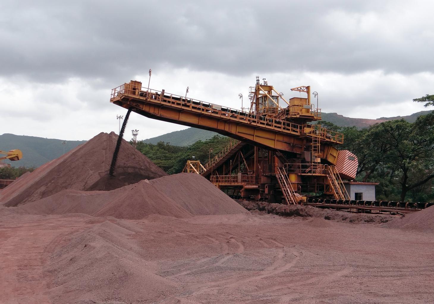
Open-pit iron ore operations. District scores rank ground like this before anyone commits to it.
传感器看到什么
这个图层在寻找什么。
每种材料的实验室参考光谱,以及传感器波段间隔能捕捉到的部分。阴影区标示方法读取的范围。
它能发现什么
它检测什么。
| 材料 | 典型产出环境 | 可能的混淆因素 |
|---|---|---|
| Hydrothermal Core Complexes | Intrusive centers, volcanic calderas, and porphyry lithocaps | Extensive post-mineral volcanic cover |
| Structural Alteration Corridors | Regional faults, shear zones, and detachment systems | Quaternary colluvium in fault trenches |
方法
工作原理。
输入校准反射率,每个像元都对照公开参考库进行拟合。
District alteration clustering
Pulls spatial clusters of advanced argillic, phyllic and gossanous pixels out of contiguous scenes.
Leave-one-region-out calibration
Whole geological provinces are withheld during fitting, so a score cannot borrow its evidence from a neighbouring pixel in the same district.
Label permutation as a negative control
Discrimination is retested against randomised occurrence coordinates. A model that scores well on shuffled labels is measuring the sampling, not the ground.
Score generation with provenance
The output is a continuous district score carrying its model version, its input set and its interval. Expert-system features are deliberately kept out of it, so the two engines stay independent.
技术规格
您得到什么,它在什么数据上运行。
所需环境条件
Method and checks are documented in Axine Applied Spectroscopy Paper #1 · Section 5.1.
适用边界
Ranks where to look first from surface evidence, not what a target holds.