
SECTOR PROFILE · ENERGY & INFRASTRUCTURE
Methane plumes and geothermal caps, mapped from orbit.
Pick an area and get back plume outlines over your facilities, geothermal cap mineralogy, or ground movement along a right of way. Searching the public archives costs nothing.
What people bring us, and how we handle it.
Finding the wellpad that is venting
A broadband optical sensor sees nothing here. The gas is colourless and the bands are far too wide to catch it.
Narrowband measurement pulls a methane plume apart from the ground beneath it, and weak detections are refused rather than reported.
Finding the geothermal cap from orbit
Heat-flow surveys cost too much to run across a whole volcanic province.
Ammonium-bearing clays, steam-heated alunite and silica sinter blankets all read from orbit, tracing the cap of a hidden system.
Corridors too long to patrol
Nobody can walk hundreds of kilometres of remote right of way often enough to catch a slope early.
sub-metre SWIR tracks swelling smectite and wet ground breaking out on a slope, between two dates on a common grid.
WORKED EXAMPLE
Case study: Permian Basin point-source methane screen
Column enhancement across active oil and gas infrastructure in the Delaware Basin, run as a screening layer over archive scenes.
Archive scene selection
Pick a free hyperspectral scene over your area. Searching and previewing the public archives costs nothing.
Columnwise matched filter
Background covariance is estimated per detector column, with neighbouring columns merged, then matched against the methane absorption vector.
Confuser rejection and connectivity gate
Surface confusers in the same spectral window are rejected and isolated pixels dropped, so a plume has to hold together spatially before it survives.
What you get back
Vectorised plume outlines carrying the granule id, the method version, and a stated reason behind every missing value.
APPLICABLE SOLUTIONS
Layers that fit this sector.
Ready to run over your area, with no configuration step in between.
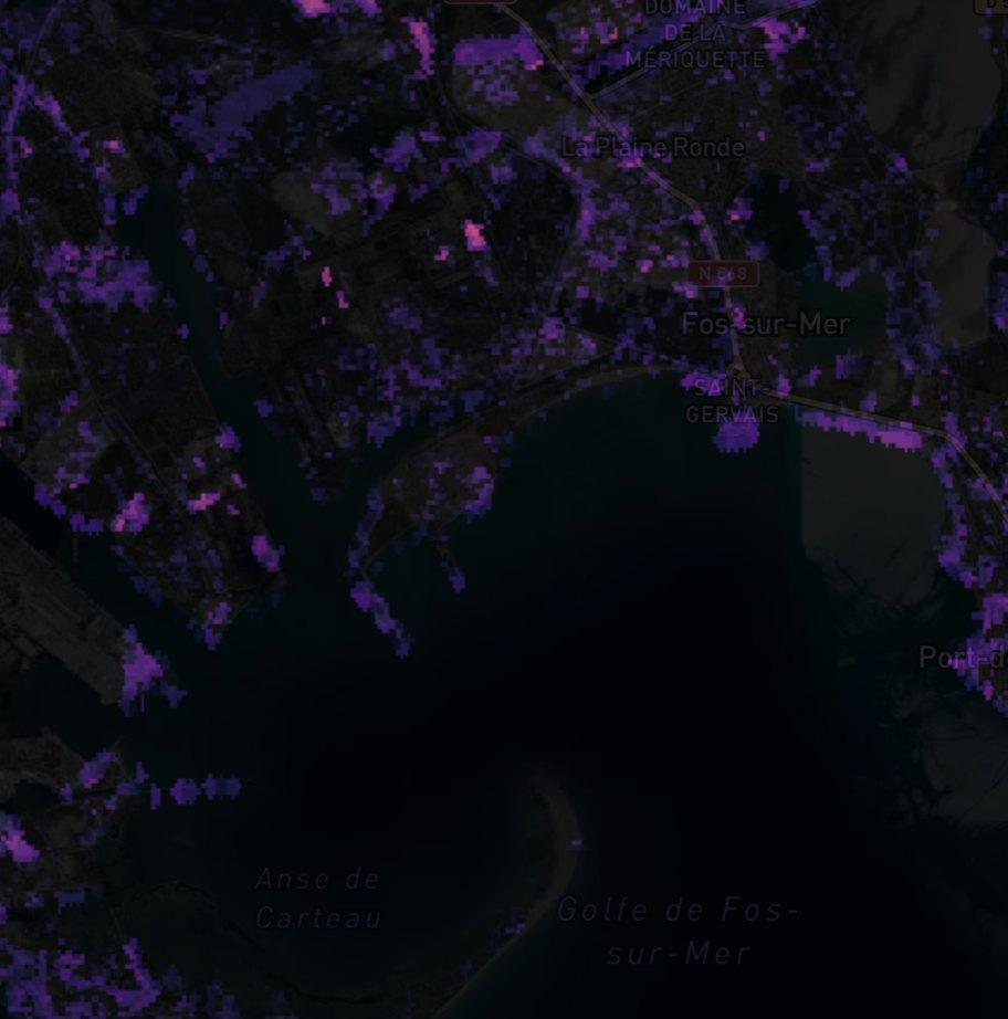
Methane Plume Detection
Column enhancement over oil and gas facilities. Reviewed public plume products pass through with their provenance, and our own filter runs alongside as screening.
Geothermal Cap Mapping
Finds active and fossil reservoir caps through ammonium minerals, alunite and silica sinter.
Hydrocarbon Microseepage
Surface alteration patterns above petroleum basins, reported as indicators rather than as a find.
Pipeline Corridor Terrain Stability
Tracks swelling clays and moisture along a corridor, so crews go where the ground actually moved.
Infrastructure Thermal Inertia
Day and night thermal differencing, normalised by albedo. Dense material gives up heat more slowly than loose fill.
APPLIED SPECTROSCOPY SERIES
Read the method in full.
The unmixing equations, the error propagation, and the validation behind each layer, written out for your own review.
The Spectral Advantage in Energy
Applied spectroscopy in geothermal cap mapping and hydrocarbon microseepage detection.
FREQUENTLY ASKED QUESTIONS
Questions we get asked about this sector.
RUN IT OVER YOUR GROUND
Run this over your Energy area.
Order processing over your area, or a dedicated capture where the archive has nothing usable. Ask Lisaris in plain language to take the area, run the pipeline and tell you when the layers are ready.