锂伟晶岩指数
依据吸收位置识别含锂云母,这正是区分锂云母岩脉与普通白云母的关键。
通过含锂云母与普通白云母的光谱差异进行填图。
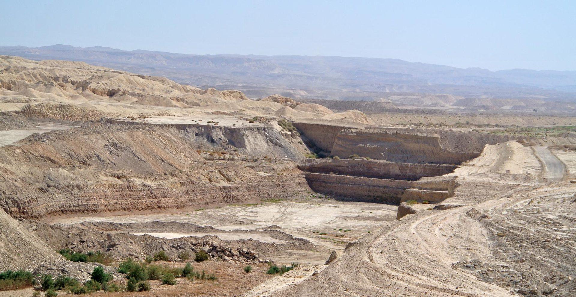
Open-pit mining in arid terrain, the kind of ground the index is built to screen.
传感器看到什么
这个图层在寻找什么。
每种材料的实验室参考光谱,以及传感器波段间隔能捕捉到的部分。阴影区标示方法读取的范围。
它能发现什么
它检测什么。
| 材料 | 典型产出环境 | 可能的混淆因素 |
|---|---|---|
| Lepidolite & Li-Muscovite | LCT pegmatite dykes and lithium granites | Ordinary white mica in barren granite |
方法
工作原理。
输入校准反射率,每个像元都对照公开参考库进行拟合。
Continuum removal over the white-mica window
Continuum removal restricted to the narrow range where the mica signature sits.
Absorption position extraction
Locates the wavelength of the absorption minimum by fitting across neighbouring channels. Interpolation between band centres is not the same as resolving them, and the precision claimed here is bounded by the sensor sampling.
Dyke swarm delineation
Connects pixels whose absorption sits short of the ordinary white mica position along a common strike.
Evaluability masking
Alluvial sand, dry grass and shadow are removed. Dry grass matters more than it sounds: its cellulose absorption sits close enough to confuse a mica reading.
技术规格
您得到什么,它在什么数据上运行。
所需环境条件
Method and checks are documented in Axine Applied Spectroscopy Paper #1 · Section 7.1.
适用边界
An indicator for lithium-bearing mica, not a grade estimate. Spodumene itself is not reliably separable.