蚀变聚类检测
蚀变以聚类而非散点像元返回,您得到的是野外团队可以直接使用的多边形。
矢量化聚类,提取热液核心枢纽以及值得由内向外追索的节点。
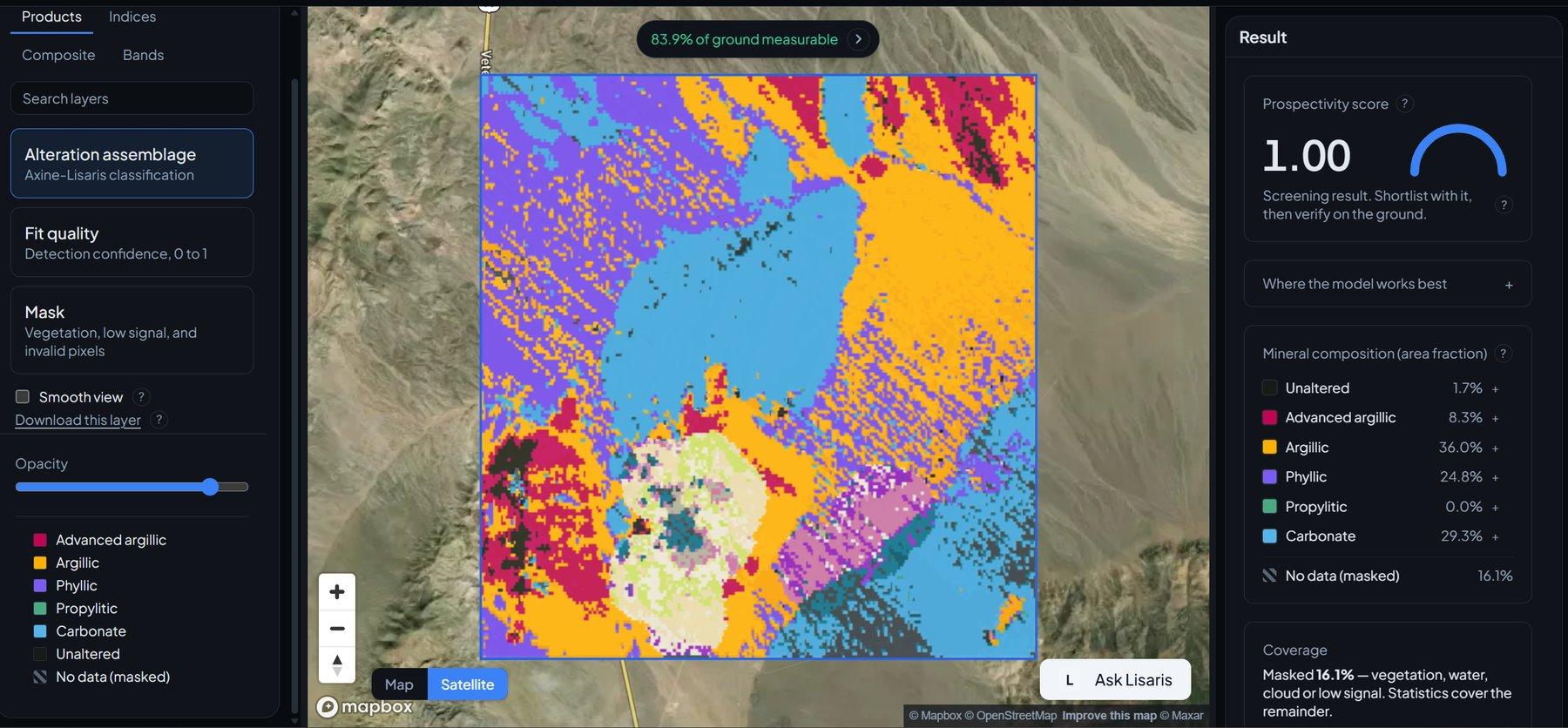
Vectorised alteration clusters: advanced argillic hubs and the structural offsets that break them.
传感器看到什么
这个图层在寻找什么。
每种材料的实验室参考光谱,以及传感器波段间隔能捕捉到的部分。阴影区标示方法读取的范围。
它能发现什么
它检测什么。
| 材料 | 典型产出环境 | 可能的混淆因素 |
|---|---|---|
| Hydrothermal Alteration Hubs | Breccia pipes, structural intersections, and intrusive contacts | Anthropogenic ground disturbance |
方法
工作原理。
输入校准反射率,每个像元都对照公开参考库进行拟合。
Reflectance ingest and grid handling
Bands are reprojected onto a common grid rather than resampled, a rule a static test enforces on every build.
Density-based clustering (DBSCAN)
Finds dense spatial aggregates of pixels whose diagnostic band depths clear the gate, and leaves isolated pixels unclustered.
Polygon boundary generation
Turns classified clusters into vector boundaries carrying interior zonation statistics.
Per-cluster attribution
Each polygon carries its area, its centroid, the dominant absorption behind it, and the fraction of its pixels that were evaluable at all.
技术规格
您得到什么,它在什么数据上运行。
所需环境条件
Method and checks are documented in Axine Applied Spectroscopy Paper #1 · Section 6.3.
适用边界
Needs exposed rock or residual soil. Under canopy the polygons come back with a low evaluable fraction, which is reported on the layer.