SECTOR PROFILE · FORESTRY & CANOPY HEALTH
Canopy moisture and disturbance, stand by stand.
Take a concession and get back foliar water depth, red-edge position, harvest disturbance, and burn severity between two dates. Stand polygons come out in GeoJSON.

What people bring us, and how we handle it.
Stress you can see before the crown turns
NDVI turns weeks after the crown has already dried out past saving.
Canopy water content shifts before colour does, and shortwave infrared measurement reads that moisture directly, flagging stands that are drying out while intervention still matters.
Checking a harvest against the boundary
Single-tree removal leaves the upper canopy mostly intact, so coarse imagery misses it entirely.
sub-metre SWIR unmixing pulls out slash, skid trails and landing decks. Ask Lisaris to run the concession on a schedule and it will flag the dates that changed. A harvest that never breaks the upper canopy stays invisible.
Burn severity in rugged terrain
Broadband indices read shadowed unburned trees as ground char, which inflates severity on steep slopes.
Differenced normalised burn ratio with char, ash, soil and green fractions unmixed underneath, so a partly burned pixel reads as partly burned.
WORKED EXAMPLE
Case study: Coniferous drought stress screen, Oregon Cascades
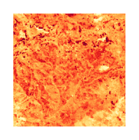
Canopy moisture and foliar stress zonation across commercial timber concessions in the Oregon Cascades.
Grid handling
Scenes are reprojected onto a common grid rather than resampled, a rule a static test enforces on every build.
Foliar water band depth
Water absorption is measured against a dry-matter shoulder, so leaf structure cannot masquerade as moisture.
Stand-relative change
Change in water absorption depth within a stand and between dates, rather than an absolute water content.
What you get back
Stand polygons in GeoJSON, each one carrying the fraction of its pixels that were evaluable.

APPLICABLE SOLUTIONS
Layers that fit this sector.
Ready to run over your area, with no configuration step in between.
Canopy Stress Screening
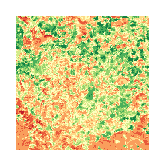
Foliar water content, measured against a dry-matter baseline and compared across acquisitions.

Canopy Chlorophyll & Red-Edge
Red-edge position, which follows canopy pigment. Refused on sensors that cannot resolve it.

Wildfire Burn Severity & Recovery
Burn severity between paired dates, with char and ash unmixed so a partly burned pixel reads as partly burned.

Selective Logging Audit
Sub-pixel unmixing for skid trails, canopy gap disturbance and harvest compliance over a concession.

Soil Exposure & Crop Residue
Crop residue cover and topsoil clay, for residue and tillage classes.
APPLIED SPECTROSCOPY SERIES
Read the method in full.
The unmixing equations, the error propagation, and the validation behind each layer, written out for your own review.
The Spectral Advantage in Forestry
Canopy moisture dynamics and selective harvest verification using SWIR spectroscopy.

FREQUENTLY ASKED QUESTIONS
Questions we get asked about this sector.
RUN IT OVER YOUR GROUND
Run this over your Forestry area.
Order processing over your area, or a dedicated capture where the archive has nothing usable. Ask Lisaris in plain language to take the area, run the pipeline and tell you when the layers are ready.