
Ask a typical remote sensing tool for chlorophyll over a gravel pit and it will give you a number. Ask for minerals from a broadband sensor and something colourful comes back. The number is meaningless, the map is decoration, and the customer finds out in the field.
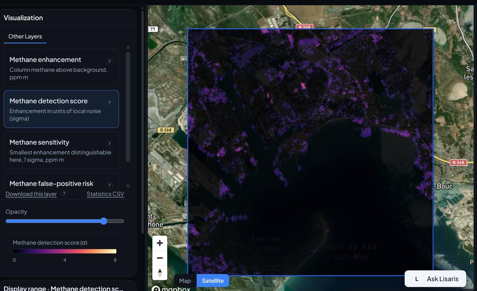
Lisaris takes the opposite position. Water layers do not run on land sensors. Mineral identification does not run on broadband imagery. Methane retrieval does not run on multispectral data. Where the physics is not there, the platform declines the job and says why, before any money changes hands.
Enforced in code, not in a footnote
This is not a disclaimer strategy. The feasibility check sits between the catalogue and the pipeline: every analysis is resolved against the actual band set, resolution and processing level of the scene in front of it. An analysis that cannot be supported is refused at the API, which means no interface, export or report can carry a result that should not exist.
The same discipline shapes how results read. Each layer states what it is: deterministic band arithmetic that anyone could verify, a screening product, or a calibrated model with a published benchmark. Masked ground renders as its own class, never folded into a real one. Provenance rides with every result, down to the granule identifier.
Why bother
Because the people we build for have been burned before. An exploration geologist, a reservoir engineer, a forester with a harvest audit: each has seen a confident map from orbit fall apart on the ground. Confidence is cheap to print. What earns trust is a system that visibly refuses to overreach, because then its positive answers mean something.
That is the trade we have chosen. Fewer coloured pixels, and every one of them defensible.