
Exposición del Suelo y Residuos de Cultivo
Residuos fraccionales y suelo desnudo, separando la celulosa seca del fondo mineral de arcilla que tiene debajo.
Cobertura de residuos de cultivo y arcilla superficial, para clases de residuos y labranza.
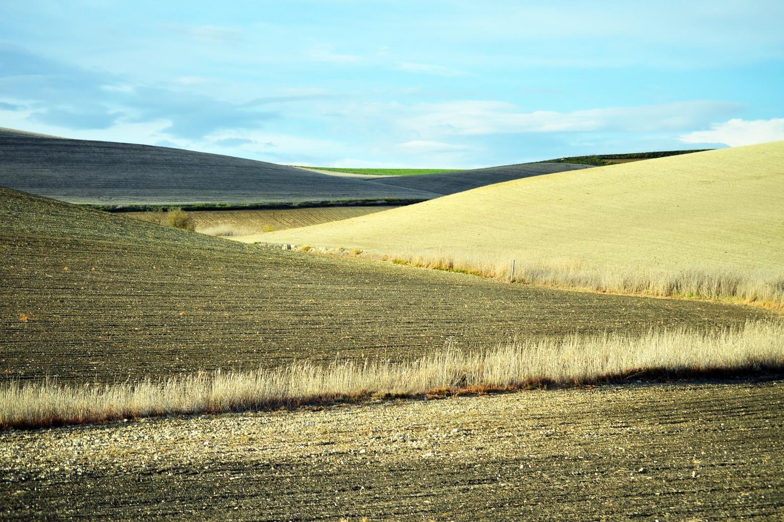
Freshly ploughed fields, the bare-soil window the layer reads.
LO QUE VE EL SENSOR
Qué busca esta capa.
La referencia de laboratorio de cada material, y qué captura de ella el espaciado de bandas del sensor. La banda sombreada marca el rango que lee el método.
QUÉ ENCUENTRA
Qué detecta.
| Material | Entorno típico | Qué puede confundirlo |
|---|---|---|
| Fractional Crop Residue Cover (fCover) | Agricultural croplands under conservation tillage / no-till management | Moisture in wet residue suppressing cellulose absorption depth |
MÉTODO
Cómo funciona.
Entra reflectancia calibrada, y cada píxel se ajusta contra una biblioteca pública de referencia.
Band feasibility check
The three wavelengths the index needs are checked against the sensor's own band centres and widths before the job starts. Two of them landing on the same source band is refused outright: the result would be identically zero everywhere and would still render.
Cellulose absorption index
The published cellulose index is applied unchanged, which separates dry plant material from the flatter curve of bare soil.
Fraction unmixing
Mixed field pixels are decomposed into residue, green crop and bare mineral soil.
Tillage classes
Fields are binned using the published conservation tillage definition, which sets its line at thirty percent residue cover. The fraction is reported alongside the class, so a field near the line is visible as such.
ESPECIFICACIONES
Qué obtiene, y sobre qué corre.
Condiciones que necesita
Method and checks are documented in Axine Applied Spectroscopy Paper #5 · Section 3.2.
Alcance
Needs dry, bare ground. A scene taken soon after rain understates residue cover.
EJECÚTELO SOBRE SU TERRENO
Ejecute esta capa sobre su propia área.
Ordene procesamiento sobre su área de interés, o una captura programada donde el archivo no tenga nada utilizable. El acceso a las imágenes nunca se cobra: un plan compra los modelos.
ANALÍTICA COMPLEMENTARIA
Capas relacionadas.
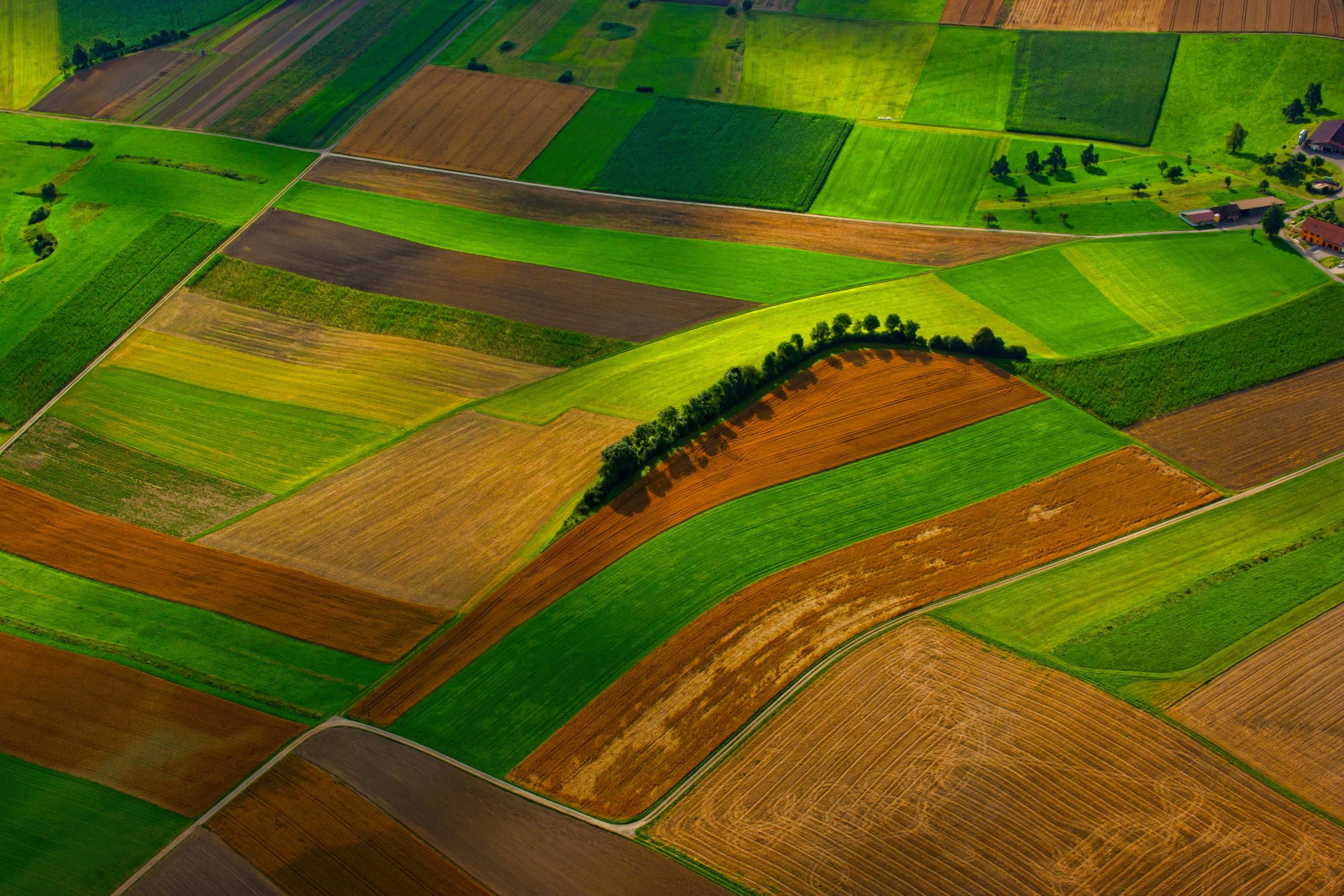
Proxy de Carbono Orgánico del Suelo
Cada píxel se compone al momento en que estuvo más expuesto y luego se clasifica por materia orgánica. No se reporta contenido de carbono.
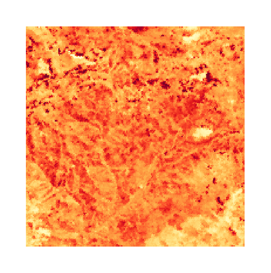
Índice de Arcilla y Salinidad del Suelo Superficial
Lecturas de yeso y arcilla sobre suelo desnudo. La sal misma es invisible para el sensor, así que la salinidad solo se infiere de lo que la acompaña.
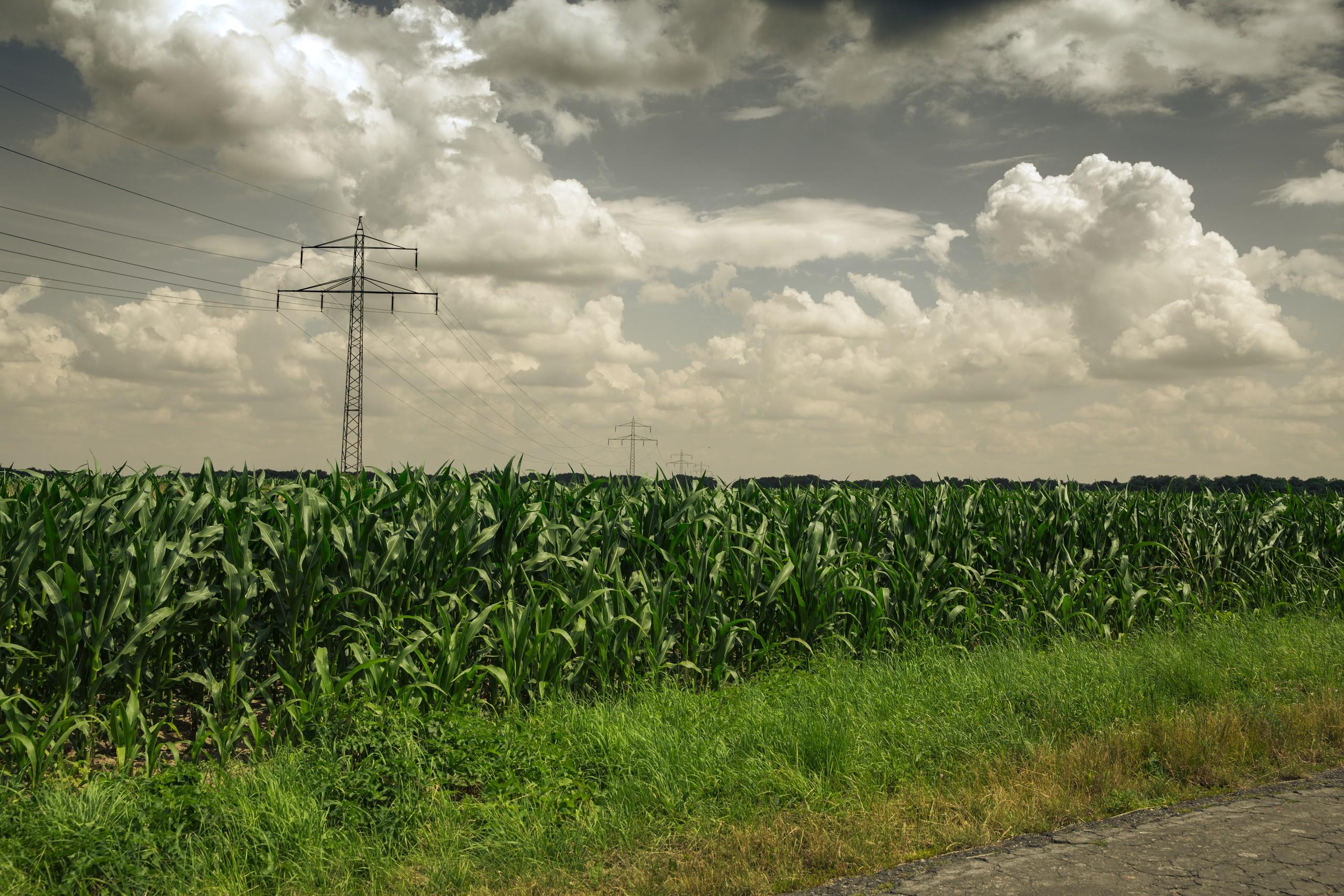
Clorofila del Dosel y Borde Rojo
Posición del borde rojo, que sigue el pigmento del dosel. Se rechaza en sensores que no pueden resolverla.