
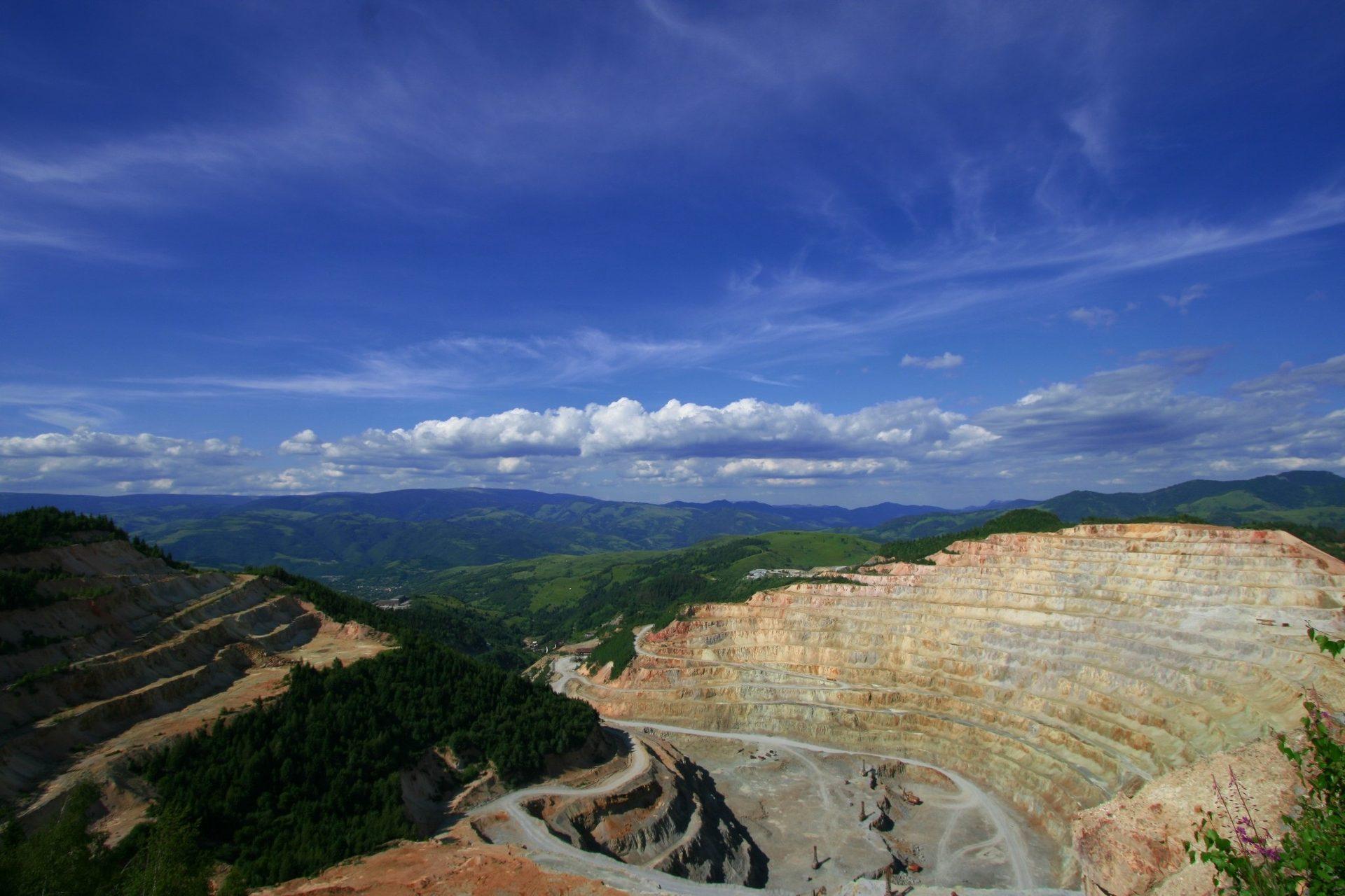
Alteration Mineral Mapping
Available on requestClassify hydrothermal alteration across a licence area from exposed rock and residual soil. Every pixel is fitted against a public laboratory spectral library, and the assemblage it carries is recorded beside the reference it matched. Advanced argillic, argillic, phyllic, propylitic, and carbonate ground are kept as separate classes, preserving the zoning of the system rather than blending it into a single clay index. Vegetated and cloud-covered ground is masked and exported as null, kept distinct from unaltered rock.
Built for exploration geologists assessing a licence before an airborne survey, project managers planning a field season, and investors reviewing what a project shows at surface.
Core Capabilities
Preserved Zoning
Advanced argillic, argillic, phyllic, and propylitic assemblages are returned as separate classes.
Pixel-Level Traceability
Every pixel carries its library match and a fit quality value showing how closely it matched.
Direct GIS Integration
Cloud-Optimized GeoTIFF opens in QGIS, ArcGIS, and Leapfrog without a conversion step.
What It Looks Like
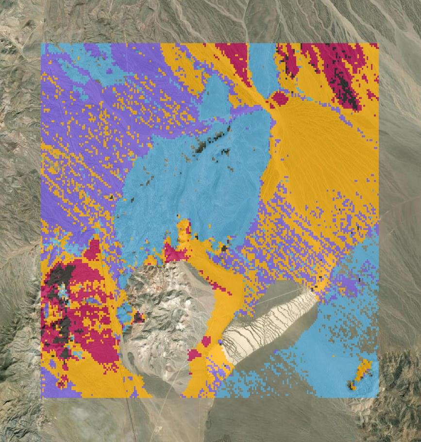
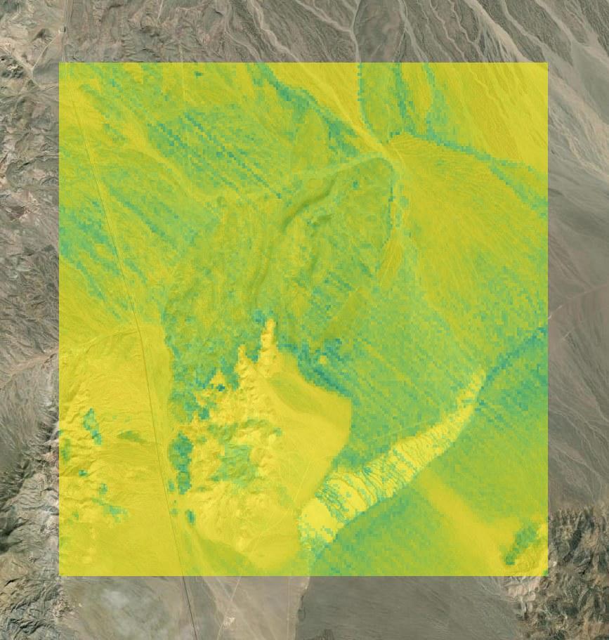
Inputs and Deliverables
Inputs Required
- Licence or tenement boundary (GeoJSON, zipped shapefile, or KML).
- Target deposit style, where known (for example, porphyry copper-gold).
Deliverables
- Cloud-Optimized GeoTIFF alteration map, one class per pixel, ready for QGIS, ArcGIS, and Leapfrog.
- Fit quality layer showing how closely each pixel matched its library reference.
- Mask layer for vegetation, cloud, and low signal, drawn hatched and exported as null.
- GeoJSON alteration cluster polygons for field planning.
- Per-pixel reflectance curves as Parquet tables for independent analysis.
- Provenance record specifying the engine, model version, and every scene used.
Methodology and Sources
Public Sources: Open spaceborne hyperspectral archive, Public laboratory spectral library.
Commercial Sources: High-resolution imagery via our partner SkyFi (on request).
Limits of Detection
Analysis is limited to surface alteration. Mineralisation at depth, ore grade, and concentration are not measured.
Alteration is read from exposed rock and residual soil, mapping the surface zoning of a hydrothermal system. Each result records the calibration applied, so the reference behind every map is documented in the output.
Arid and sparsely vegetated terrain provides the strongest mineral signal. If a site calls for sharper imagery, we will scope commercial imagery via SkyFi.
Workflow
Submit Boundaries
Provide the licence, tenement, or prospect geometry and the target deposit style.
Scene Selection
We identify the hyperspectral scenes over your ground and the share of exposed surface they cover.
Classification
Every readable pixel is fitted against the library and grouped into alteration clusters.
Delivery
You receive the GeoTIFFs, cluster vectors, Parquet curves, and provenance documentation.
Use Cases
Exploration Geologists
Assess a licence before commissioning an airborne survey and plan traverses around the alteration clusters.
Mine Operators
Map alteration around an operating pit to frame near-mine exploration on ground already held.
Investors and Lenders
Review the surface alteration of a project on scenes that can be independently traced.
Related Solutions
Exploration Target Ranking
Rank district ground by how closely its surface alteration matches known mineral systems, with a vector to the centre.
Gossan and Iron Oxide Mapping
Separate hematite from goethite across your ground and map ferric hydroxyl coatings as a distinct class.
Mine Footprint and Disturbance
Map and quantify ground disturbance across open pits, waste rock dumps and tailings boundaries between any two dates.
Submit a Licence Area
Provide the boundary of one licence or one belt. Our team runs the alteration map and the district score over it and reviews the results with your geologists.